MyTopo
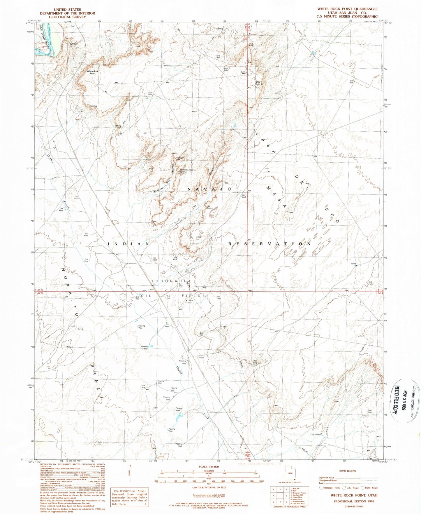
Classic USGS White Rock Point Utah 7.5'x7.5' Topo Map
Regular price
$16.95
Regular price
Sale price
$16.95
Unit price
per
Couldn't load pickup availability
Historical USGS topographic quad map of White Rock Point in the state of Utah. Map scale may vary for some years, but is generally around 1:24,000. Print size is approximately 24" x 27"
This quadrangle is in the following counties: San Juan.
The map contains contour lines, roads, rivers, towns, and lakes. Printed on high-quality waterproof paper with UV fade-resistant inks, and shipped rolled.
Contains the following named places: Casa del Eco Mesa, Gray Point, Todahaidekani Preschool, Tohonadla Oil Field, Tselakai Dezza, Tselakai Dezza Census Designated Place, Ute Canyon, Ute Spring, White Rock Point, Window Rock Canyon, Window Rock Spring