MyTopo
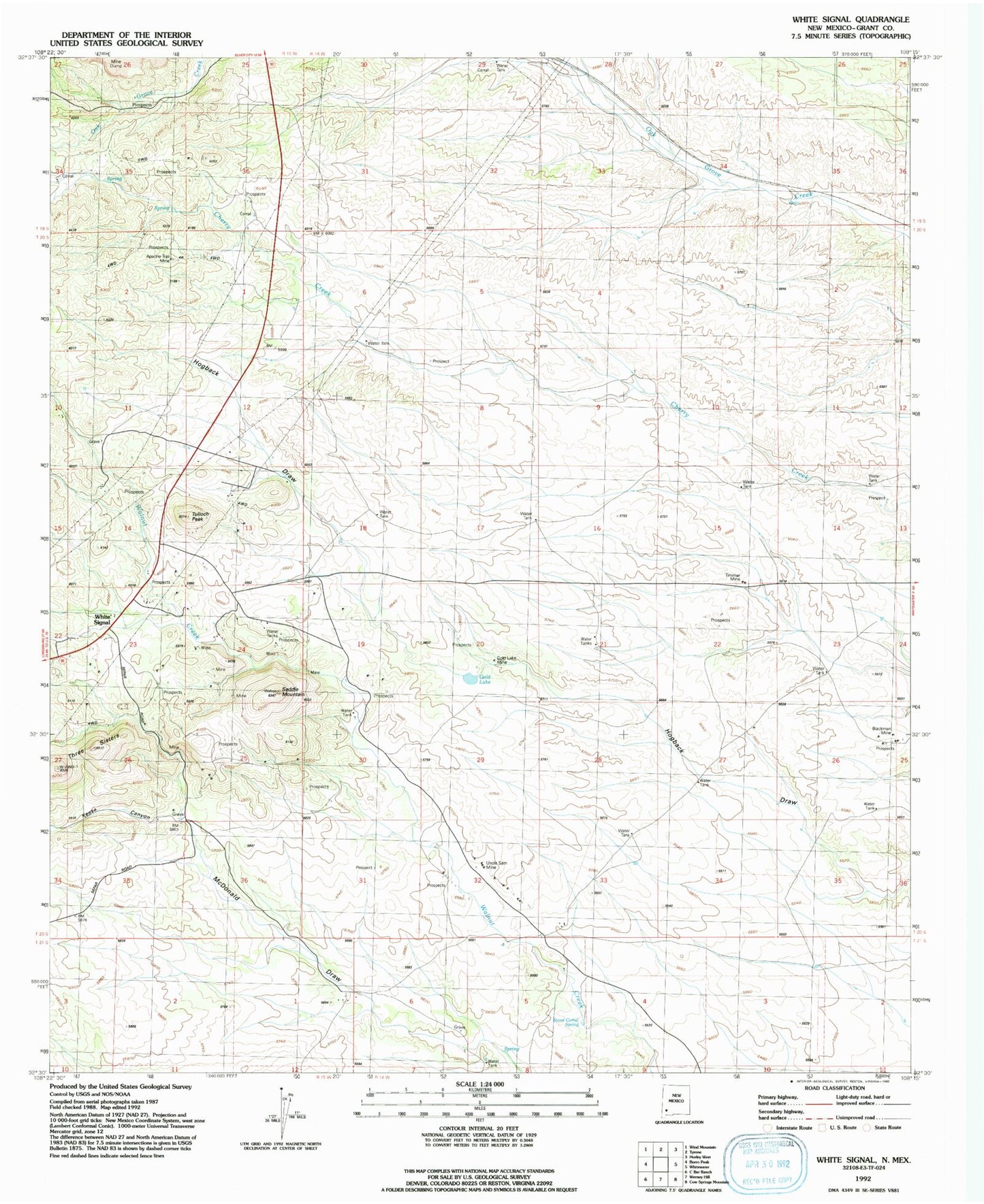
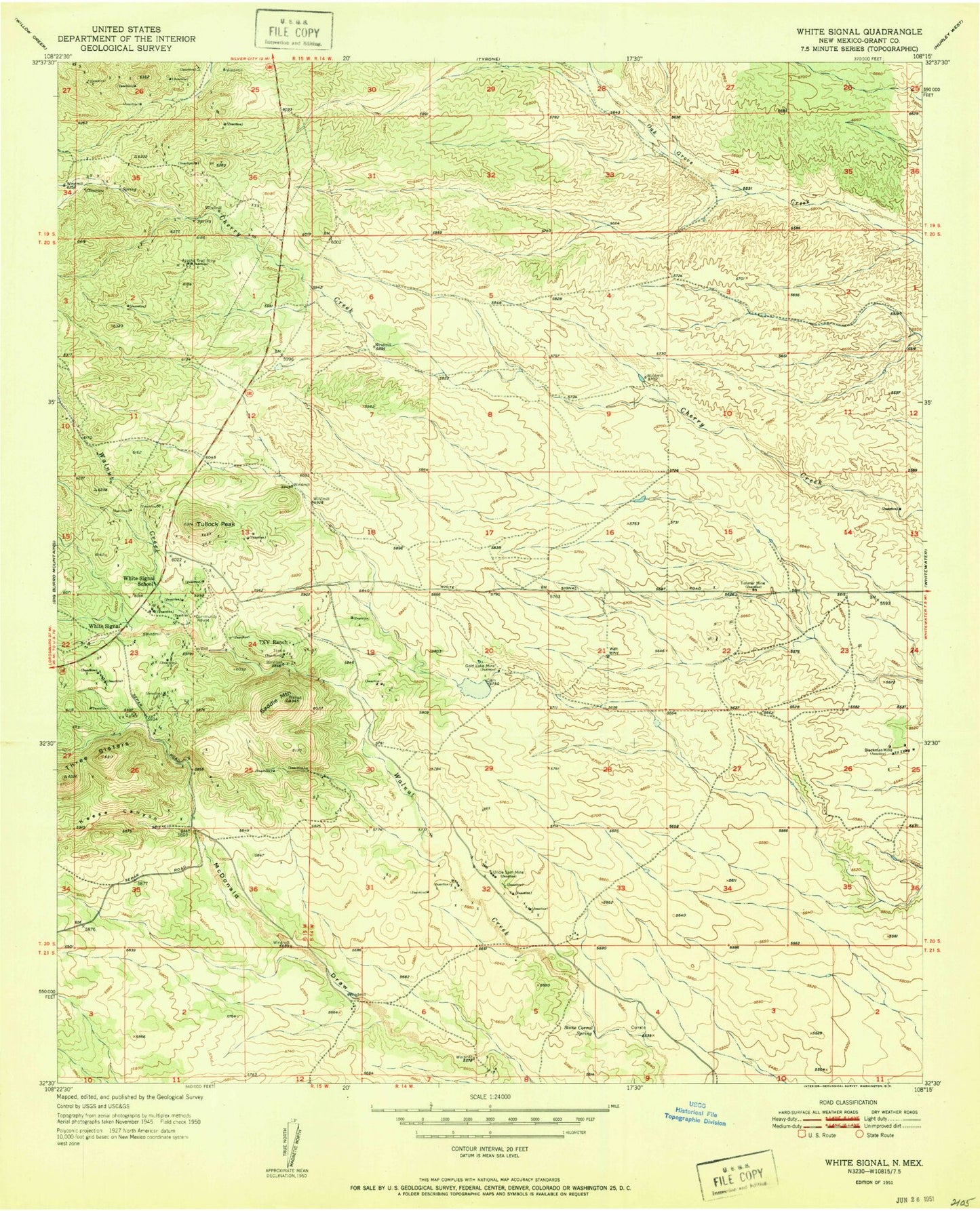
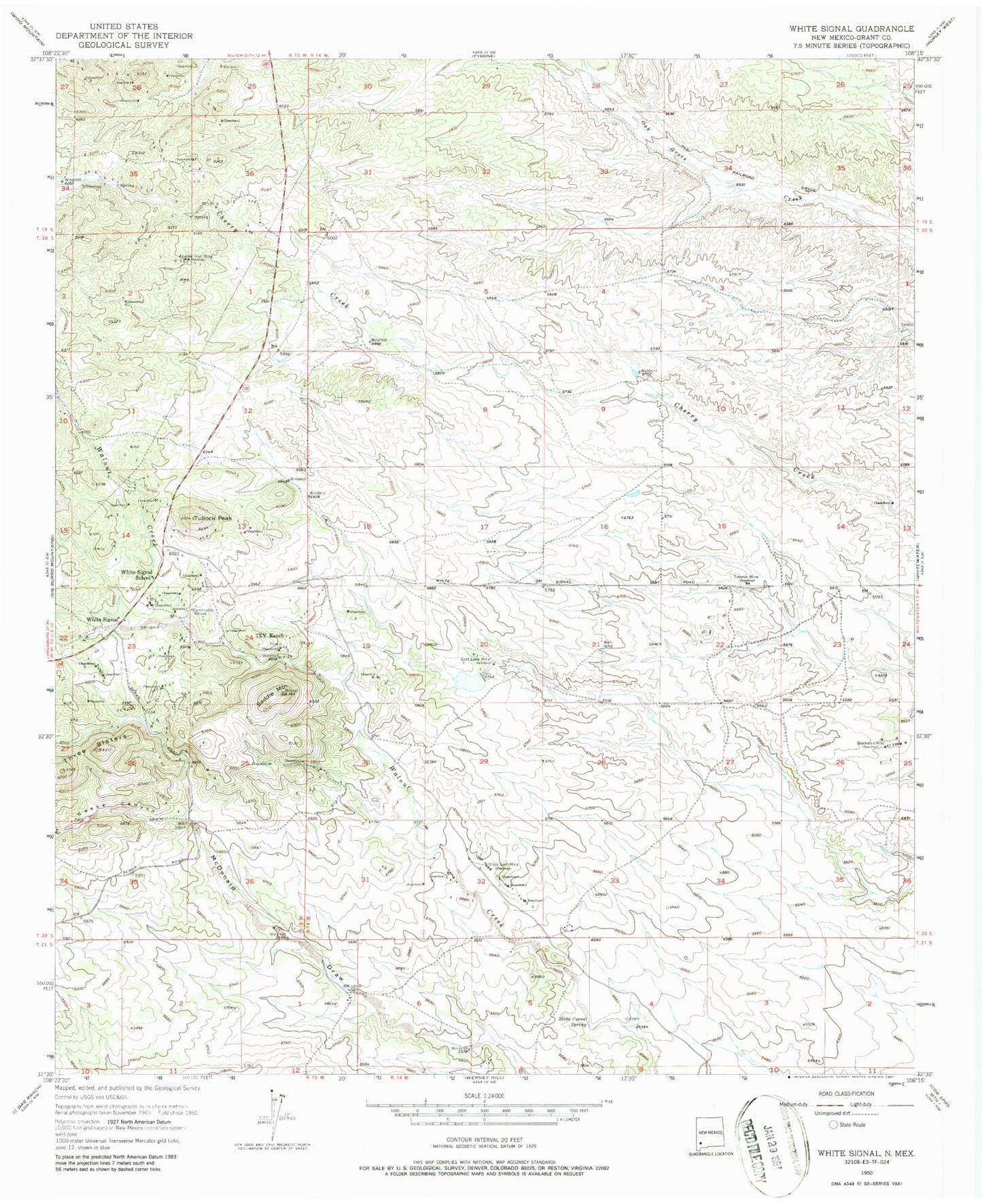
Classic USGS White Signal New Mexico 7.5'x7.5' Topo Map
Couldn't load pickup availability
Historical USGS topographic quad map of White Signal in the state of New Mexico. Map scale may vary for some years, but is generally around 1:24,000. Print size is approximately 24" x 27"
This quadrangle is in the following counties: Grant.
The map contains contour lines, roads, rivers, towns, and lakes. Printed on high-quality waterproof paper with UV fade-resistant inks, and shipped rolled.
Contains the following named places: 00483 Water Well, 00485 Water Well, 00822 Water Well, 00961 Water Well, 00968 Water Well, 01009 Water Well, 01010 Water Well, 06004 Water Well, 485 Water Well, 7 X V Ranch, 7XV Ranch Deposits, Apache Trail Mine, Blackman Mine, Blue Jay Deposit, Brachman Prospect, Chapman Turquoise Mine, Cherry Creek Prospects, Copper Glance Mine, G 962 Water Well, G 982 Water Well, Gold Lake, Gold Lake Mine, Hummer Mine, Keese Canyon, Paddy Ford Shaft, Red Bird Mine, Red Dodson Mine, Saddle Mountain, Sellers Mine, Stone Corral Spring, Three Sisters, Timmer Mine, Tulloch Peak, Tyrone Volunteer Fire Department White Signal, Uncle Sam Mine, White Signal, White Signal Census Designated Place, White Signal Post Office, White Signal School, White Signal Weather Station


