MyTopo
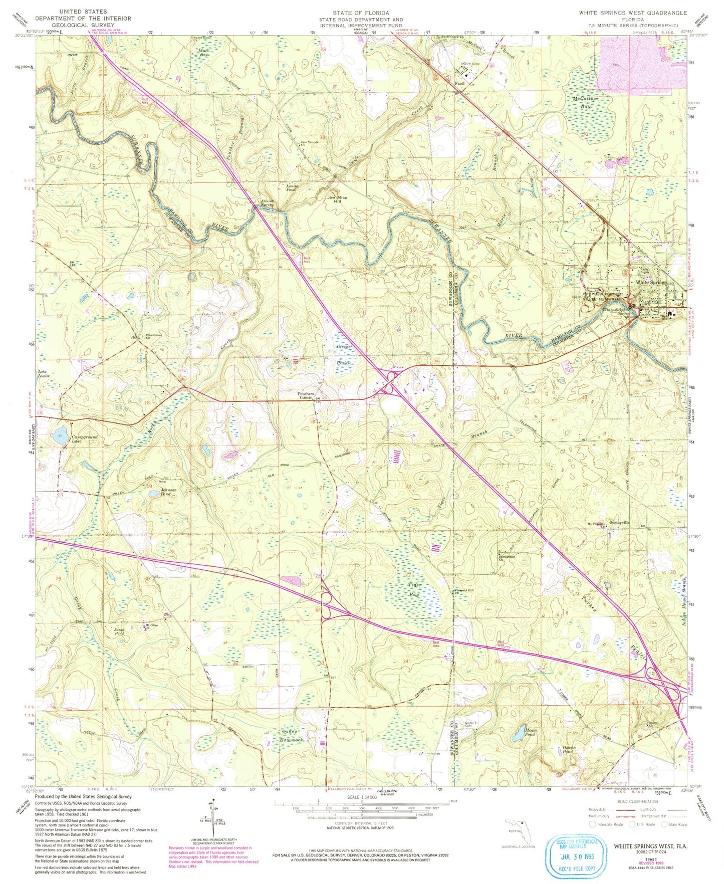
Classic USGS White Springs West Florida 7.5'x7.5' Topo Map
Couldn't load pickup availability
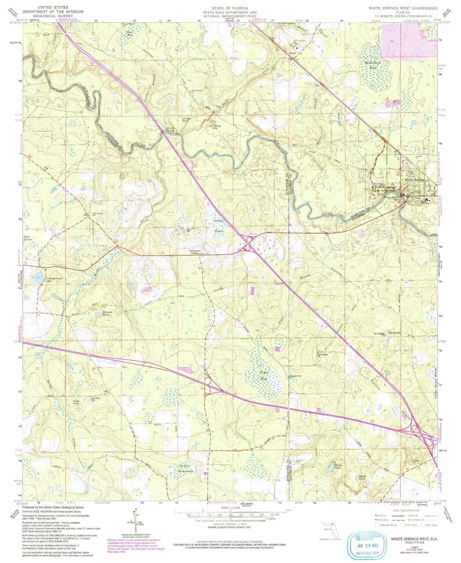
Historical USGS topographic quad map of White Springs West in the state of Florida. Map scale may vary for some years, but is generally around 1:24,000. Print size is approximately 24" x 27"
This quadrangle is in the following counties: Columbia, Hamilton, Suwannee.
The map contains contour lines, roads, rivers, towns, and lakes. Printed on high-quality waterproof paper with UV fade-resistant inks, and shipped rolled.
Contains the following named places: Black Bay, Bullock Lookout Tower, Button Bush Pond, Campground Lake, Caney Hammock, Church of God and Pentecosta, Facil, Godbold / Williams Cemetery, Greens Prairie, J Graham Black-Joseph W McAlpin Bridge, Jackson Pond, Jerry Branch, Jim Mike Hill, Johnson Pond, Jones Pond, Lane Pond, Louisa Pond, Louisa Spring, McCall Branch, McCallum Bay, Moore Pond, Mount Olive Church, Mount Pleasant Baptist Church, Mount Pleasant Church, Owens Pond, Pasture Pond, Pine Grove Church, Pleasant Hill Church, Poucher Branch, Pouchers Corner, Rocky Creek, Sailor Hole, Saint Lukes Freewill Baptist Church, Sal Marie Branch, Salem Church, Sistrunk Pond, South Hamilton Elementary School, Springville, Springville Church, Stephen Foster Folk Culture Center State Park, Sweet Home Church, Swift Creek, Swift Creek Cemetery, Swift Creek Church, Tiger Bay, Tiger Branch, Town of White Springs, Turkey Prairie, White Springs, White Springs Christ Holiness Church, White Springs Police Department, White Springs Post Office, White Springs Public Library, White Springs Volunteer Fire Department, White Sulphur Spring, Zion Temple Church


