MyTopo
Classic USGS White Swan Washington 7.5'x7.5' Topo Map
Couldn't load pickup availability
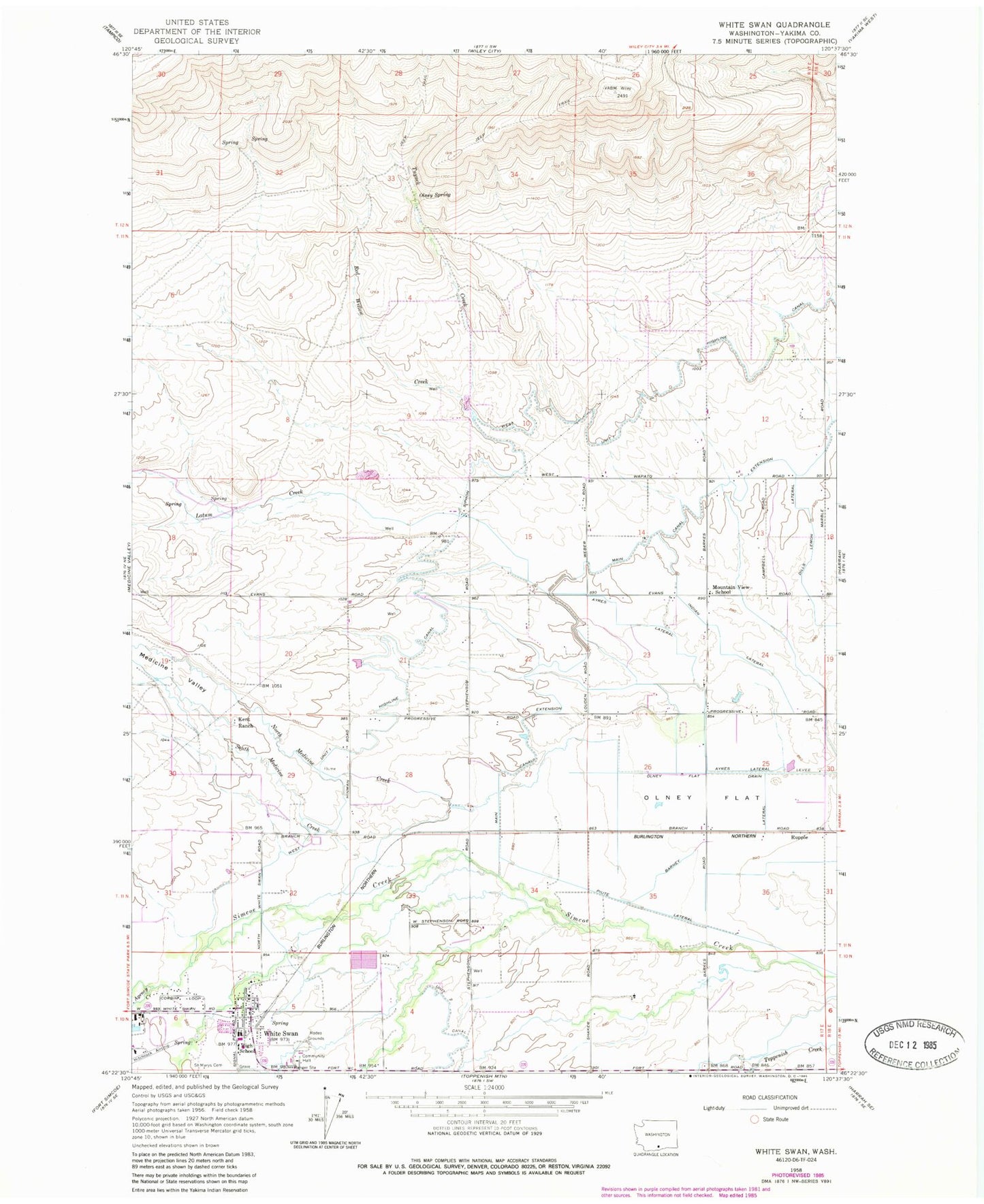
Historical USGS topographic quad map of White Swan in the state of Washington. Map scale may vary for some years, but is generally around 1:24,000. Print size is approximately 24" x 27"
This quadrangle is in the following counties: Yakima.
The map contains contour lines, roads, rivers, towns, and lakes. Printed on high-quality waterproof paper with UV fade-resistant inks, and shipped rolled.
Contains the following named places: Agency Creek, Ayres Lateral, Barney Pacific Lateral, Harrah Airport, Hitchcock Airstrip, Indian Lateral, Kent Ranch, Latum Creek, Main Canal Extension, Medicine Valley, Mount Adams Middle School, Mountain View School, North Medicine Creek, Olney Flat, Olney Spring, Red Willow Creek, Rupple, Saint Marys Cemetery, South Medicine Creek, Tuyuck Creek, West Unit One Highline Canal, White Swan, White Swan Ambulance, White Swan Census Designated Place, White Swan High School, White Swan Police Department, White Swan Post Office, Yakima County, Yakima County Fire District 5 Station 1 White Swan, Yakima Valley, ZIP Code: 98933