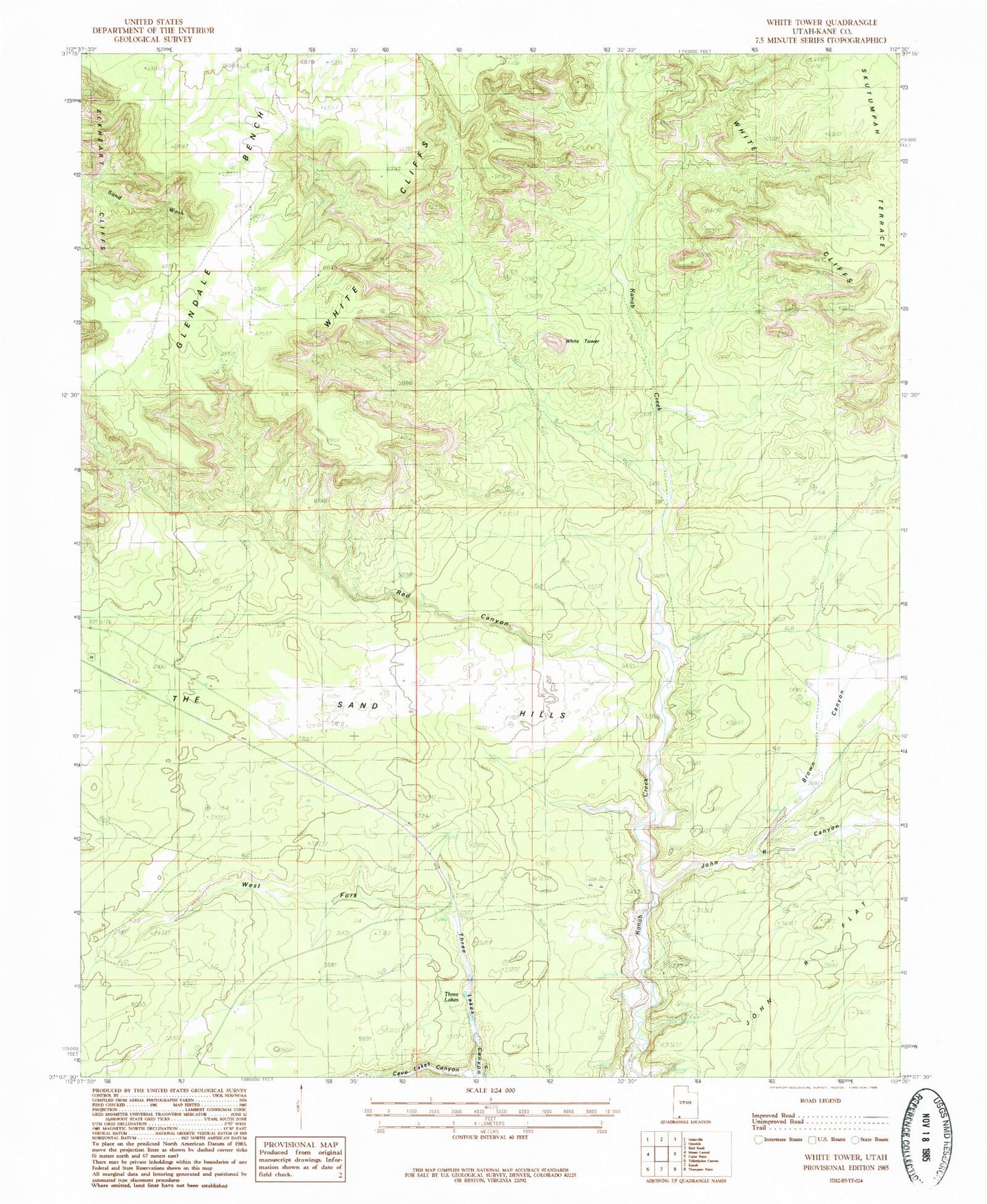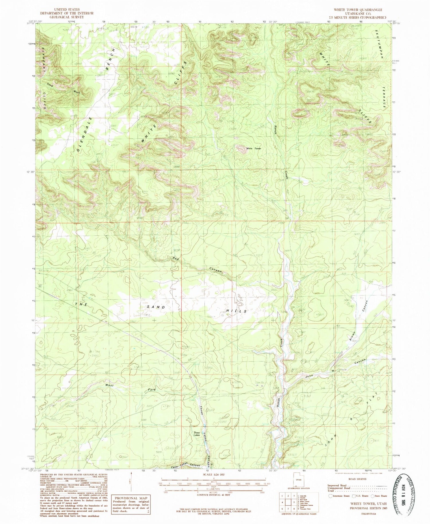
MyTopo
Classic USGS White Tower Utah 7.5'x7.5' Topo Map
Regular price
$16.95
Regular price
Sale price
$16.95
Unit price
per
Couldn't load pickup availability
Historical USGS topographic quad map of White Tower in the state of Utah. Map scale may vary for some years, but is generally around 1:24,000. Print size is approximately 24" x 27"
This quadrangle is in the following counties: Kane.
The map contains contour lines, roads, rivers, towns, and lakes. Printed on high-quality waterproof paper with UV fade-resistant inks, and shipped rolled.
Contains the following named places: Angels Rest at Best Friends, Big Lake, Brown Canyon, John R Canyon, John R Flat, Red Canyon, The Sand Hills, Three Lakes, West Fork Three Lakes Canyon, White Tower