MyTopo
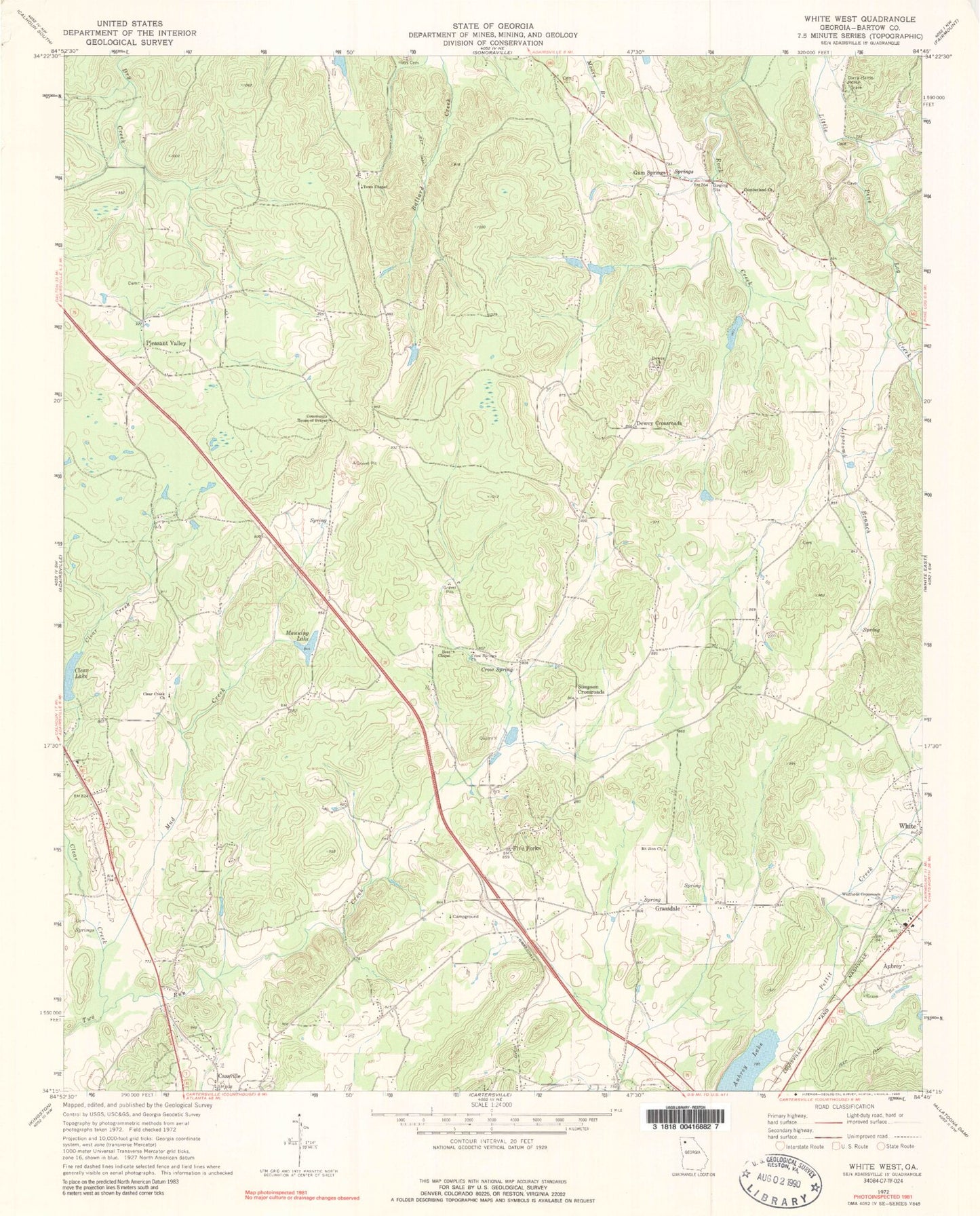
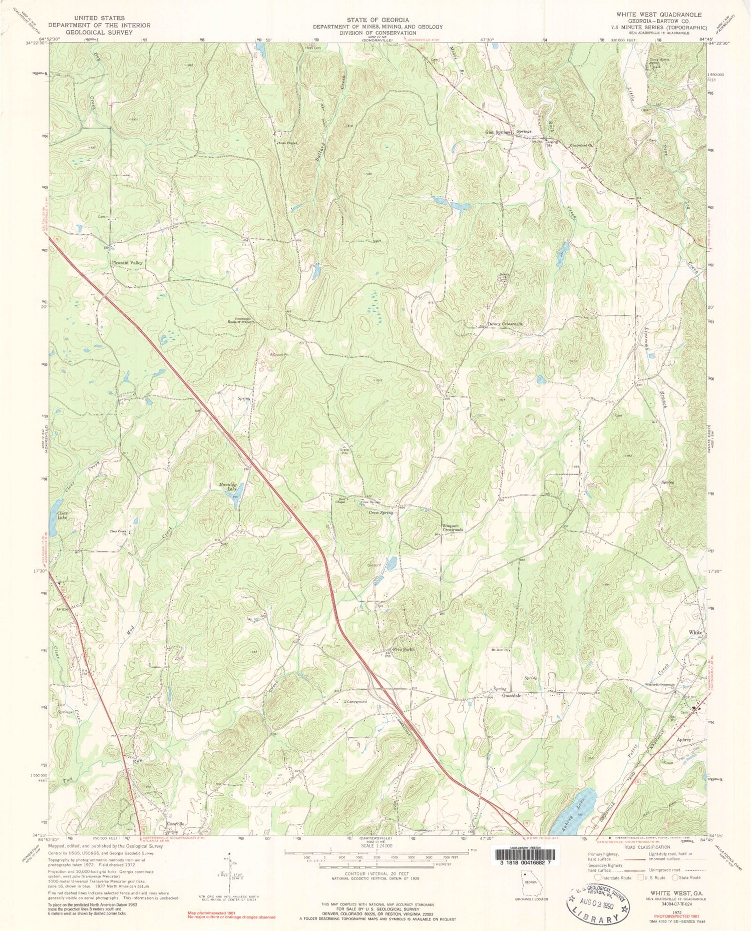
Classic USGS White West Georgia 7.5'x7.5' Topo Map
Couldn't load pickup availability
Historical USGS topographic quad map of White West in the state of Georgia. Map scale may vary for some years, but is generally around 1:24,000. Print size is approximately 24" x 27"
This quadrangle is in the following counties: Bartow.
The map contains contour lines, roads, rivers, towns, and lakes. Printed on high-quality waterproof paper with UV fade-resistant inks, and shipped rolled.
Contains the following named places: Aubrey, Aubrey Lake, Bartow Cumberland Presbyterian Church Cemetery, Best Chapel, Big Spring Branch, Cassville Cemetery, Chunn Estates, Clear Creek, Clear Creek Church, Clear Creek Elementary School, Clear Lake, Community House of Prayer, Corra Harris Home, Crow Spring, Crow Springs Church, Cumberland Church, Denman Family Cemetery, Dewey Baptist Church Cemetery, Dewey Church, Dewey Crossroads, Five Forks, Five Forks Church, Five Forks School, Grace Church, Grassdale, Gum Springs, Lewis - Linn Cemetery, Lipscomb Branch, Little Lake, Little Lake Dam, Manning Lake, Manning Lake Dam, McCallie, Mount Zion Baptist Church Cemetery, Mount Zion Church, Mud Creek, Oakdale School, Pettit School, Pine Log Tributary Structure Number 21 Dam, Pleasant Valley, Pleasant Valley Church, Richards Lake, Rock Creek School, Saddle Ridge Estates, Simpson Crossroads, Sophia, South Fork Two Run Creek, Stephenson Family Cemetery, Stovall Family Cemetery, Tanner Mill, Towe Chapel, Towe Chapel Cemetery, White Cemetery, White Elementary School, Woffords Crossroads Baptist Church Cemetery, Woffords Crossroads Church, Wolfpen Branch


