MyTopo
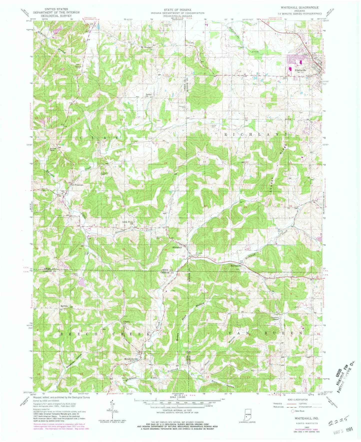
Classic USGS Whitehall Indiana 7.5'x7.5' Topo Map
Couldn't load pickup availability
Historical USGS topographic quad map of Whitehall in the state of Indiana. Map scale may vary for some years, but is generally around 1:24,000. Print size is approximately 24" x 27"
This quadrangle is in the following counties: Greene, Monroe, Owen.
The map contains contour lines, roads, rivers, towns, and lakes. Printed on high-quality waterproof paper with UV fade-resistant inks, and shipped rolled.
Contains the following named places: Andrew Livingston Cemetery, Bethel Church, Blair Hollow, Blakeman Hollow, Boone Cave, Brown Cemetery, Clay Township - Owen County Fire Company, Coffey Cemetery, Coon Hollow, Dowell Cemetery, Ellettsville, Ellettsville Police Department, Freeman, Garrison Chapel, Green Ham Hollow, Gross Cemetery, Hendricksville, Hopewell Cemetery, Hudson Cemetery, Liberty Church, Little Flock Church, Little Raccoon Creek, Little Richland Creek, Livingston Cemetery, Louden Ridge, McVille, Moreland Cemetery, Mount Pleasant Church, Richland Church, Salem Church, Timber Ridge Lake, Timber Ridge Lake Dam, Township of Clay, Township of Richland, Whitehall, Whitehall Cemetery, WTTS-AM (Bloomington)