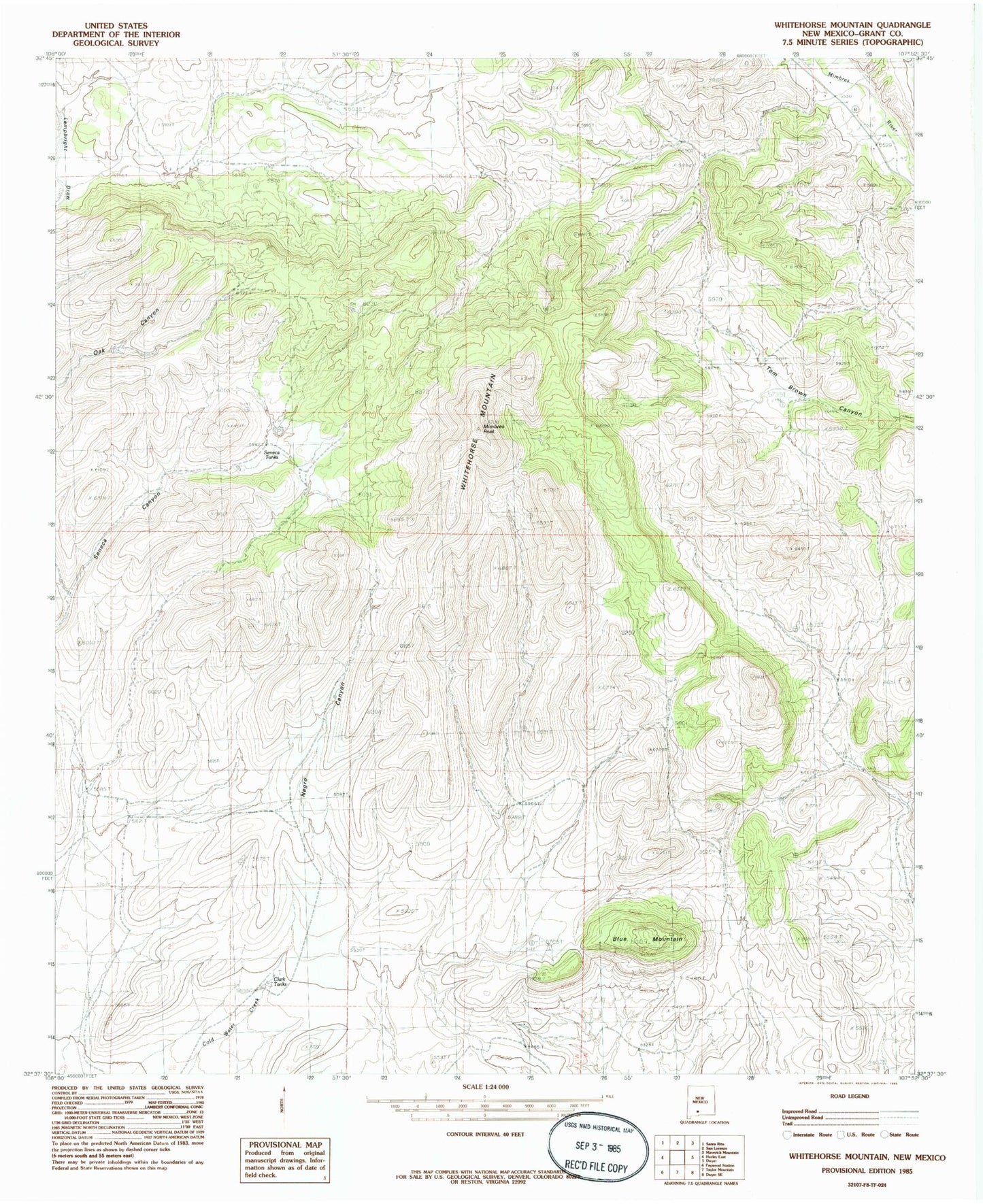
MyTopo
Classic USGS Whitehorse Mountain New Mexico 7.5'x7.5' Topo Map
Regular price
$16.95
Regular price
Sale price
$16.95
Unit price
per
Couldn't load pickup availability
Historical USGS topographic quad map of Whitehorse Mountain in the state of New Mexico. Map scale may vary for some years, but is generally around 1:24,000. Print size is approximately 24" x 27"
This quadrangle is in the following counties: Grant.
The map contains contour lines, roads, rivers, towns, and lakes. Printed on high-quality waterproof paper with UV fade-resistant inks, and shipped rolled.
Contains the following named places: Bayard-Santa Rita Division, Big Mill, Blue Mountain, Clark Tanks, Lower Mimbres Volunteer Fire Department, Mimbres Peak, Oak Canyon, Seneca Canyon, Seneca Tanks, Sherman, Sherman Post Office, Whitehorse Mountain