MyTopo
Classic USGS Whitehorse Mountain Washington 7.5'x7.5' Topo Map
Couldn't load pickup availability
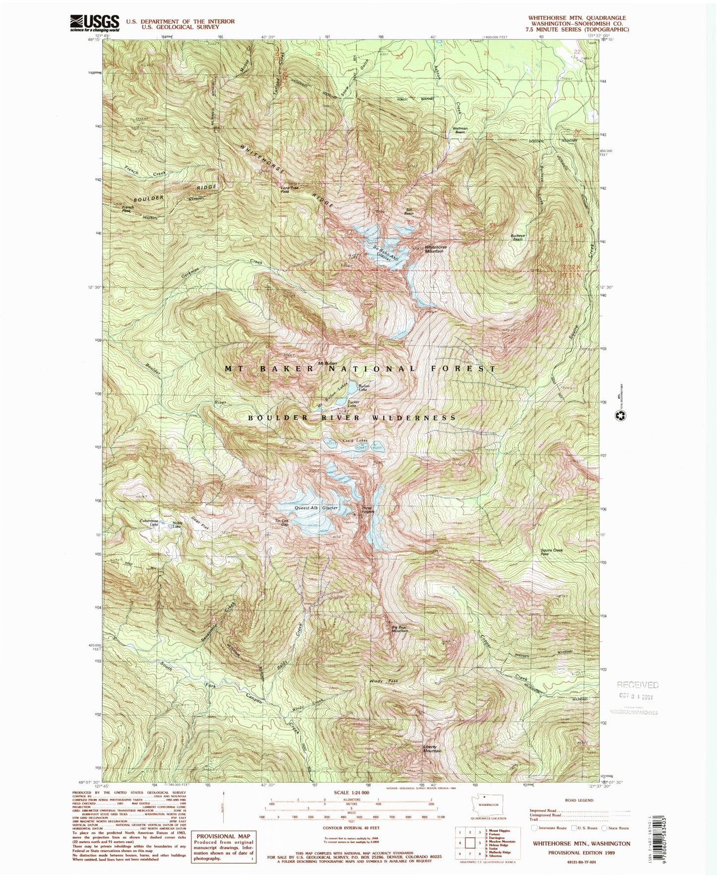
Historical USGS topographic quad map of Whitehorse Mountain in the state of Washington. Typical map scale is 1:24,000, but may vary for certain years, if available. Print size: 24" x 27"
This quadrangle is in the following counties: Snohomish.
The map contains contour lines, roads, rivers, towns, and lakes. Printed on high-quality waterproof paper with UV fade-resistant inks, and shipped rolled.
Contains the following named places: Baldy Creek, Big Bear Mountain, Boulder Ridge, Buckeye Creek, Mount Bullen, French Peak, Gerkman Creek, Goat Flat, Liberty Mountain, Lone Tree Pass, Sevenmile Creek, Sill Basin, Squire Creek Pass, Three Fingers, Wellman Basin, Whitehorse Ridge, Windy Creek, Windy Pass, Tucker Lake, Bullen Lake, Noble Lake, So-Bahli-Alhi Glacier, Tin Can Gap, Queest-alb Glacier (not official), Boulder River Wilderness, Whitehorse Mountain, Mount Bullen Lakes