MyTopo
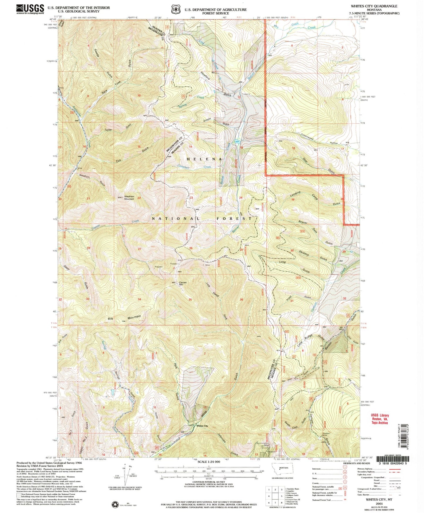
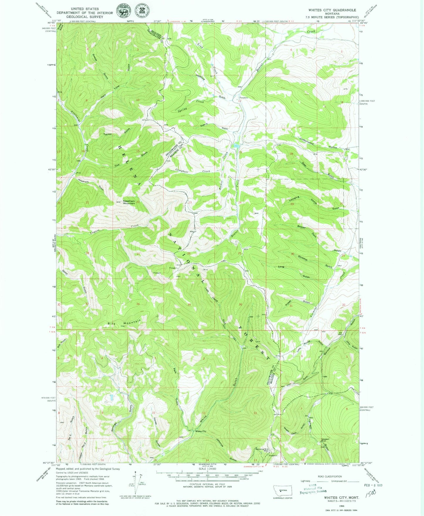
Classic USGS Whites City Montana 7.5'x7.5' Topo Map
Couldn't load pickup availability
Historical USGS topographic quad map of Whites City in the state of Montana. Map scale may vary for some years, but is generally around 1:24,000. Print size is approximately 24" x 27"
This quadrangle is in the following counties: Broadwater, Meagher.
The map contains contour lines, roads, rivers, towns, and lakes. Printed on high-quality waterproof paper with UV fade-resistant inks, and shipped rolled.
Contains the following named places: Beaver Dam Gulch, Benton Gulch Mine, Bilk Mountain, Campbell Creek, Cayuse Mountain, Greens Gulch, Hereford Gulch, Horse Gulch, Hour Gulch, Humming Bird Mine, Hummingbird Mine, Johnnies Gulch, Left Hand Fork White Gulch, Lind Creek, Little Bridge Canyon, Long Gulch, Nary Time Gulch, Needham Gulch, Needham Gulch Mine, Needham Mountain, Ohio Gulch, Park Gulch, Priest Gulch, Ready Cash Gulch, Rocker Creek, Schabert Mine, SE SE Section 26 Mine, Skiddoo Gulch, Spring Creek, Swede Gulch, Thompson Creek, Tick Gulch, Tucker Gulch, Whites City, Whites Post Office


