MyTopo
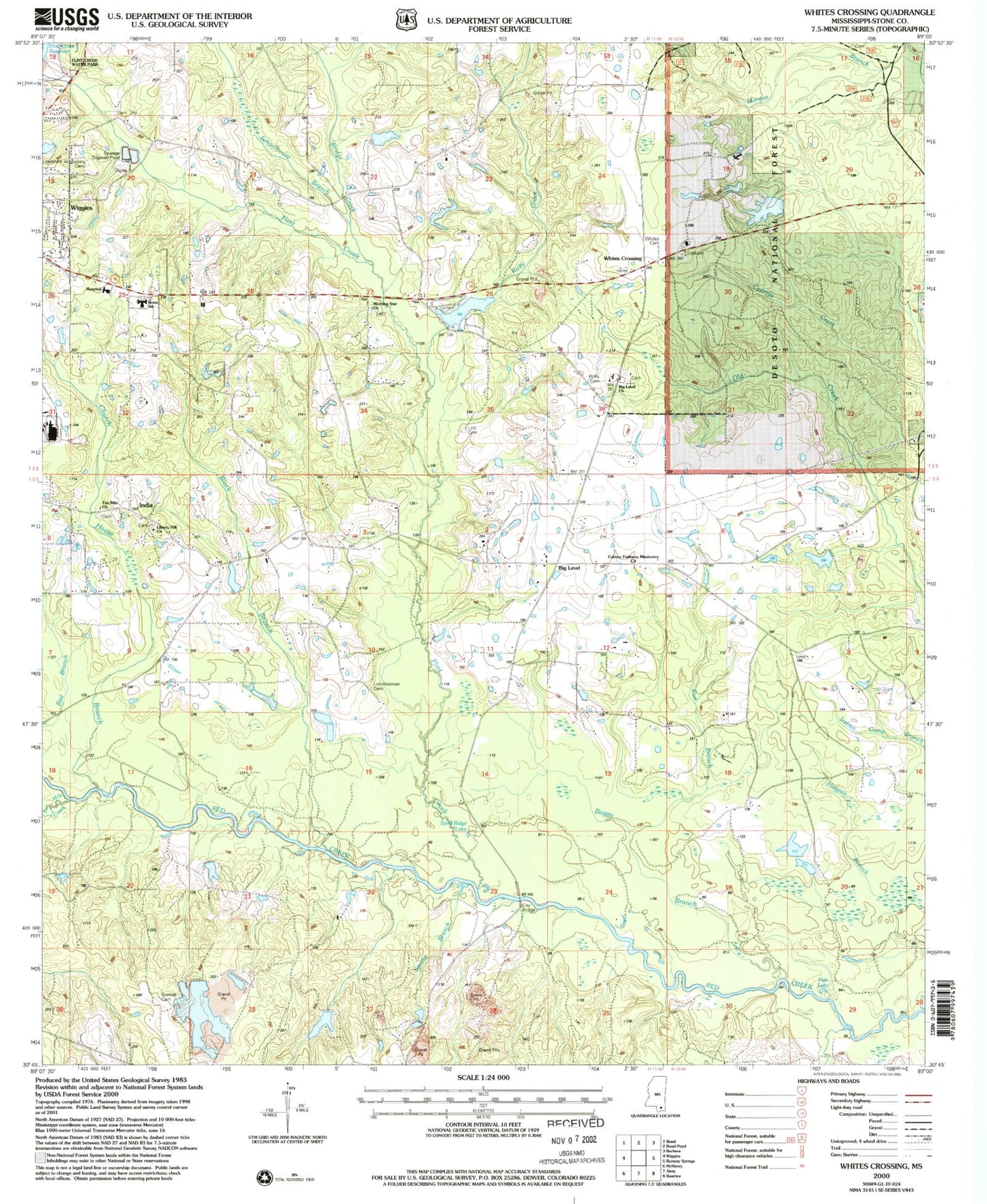
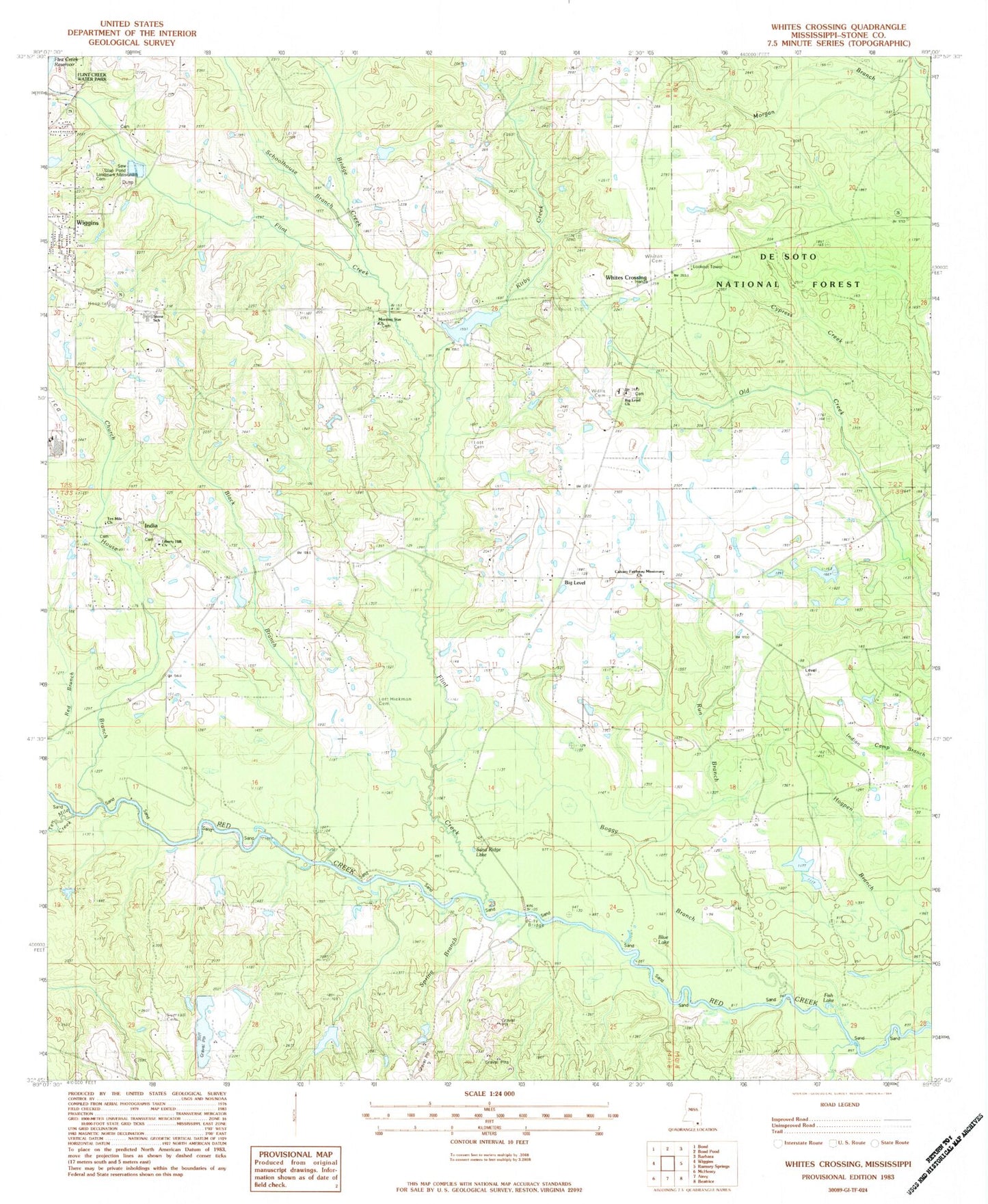
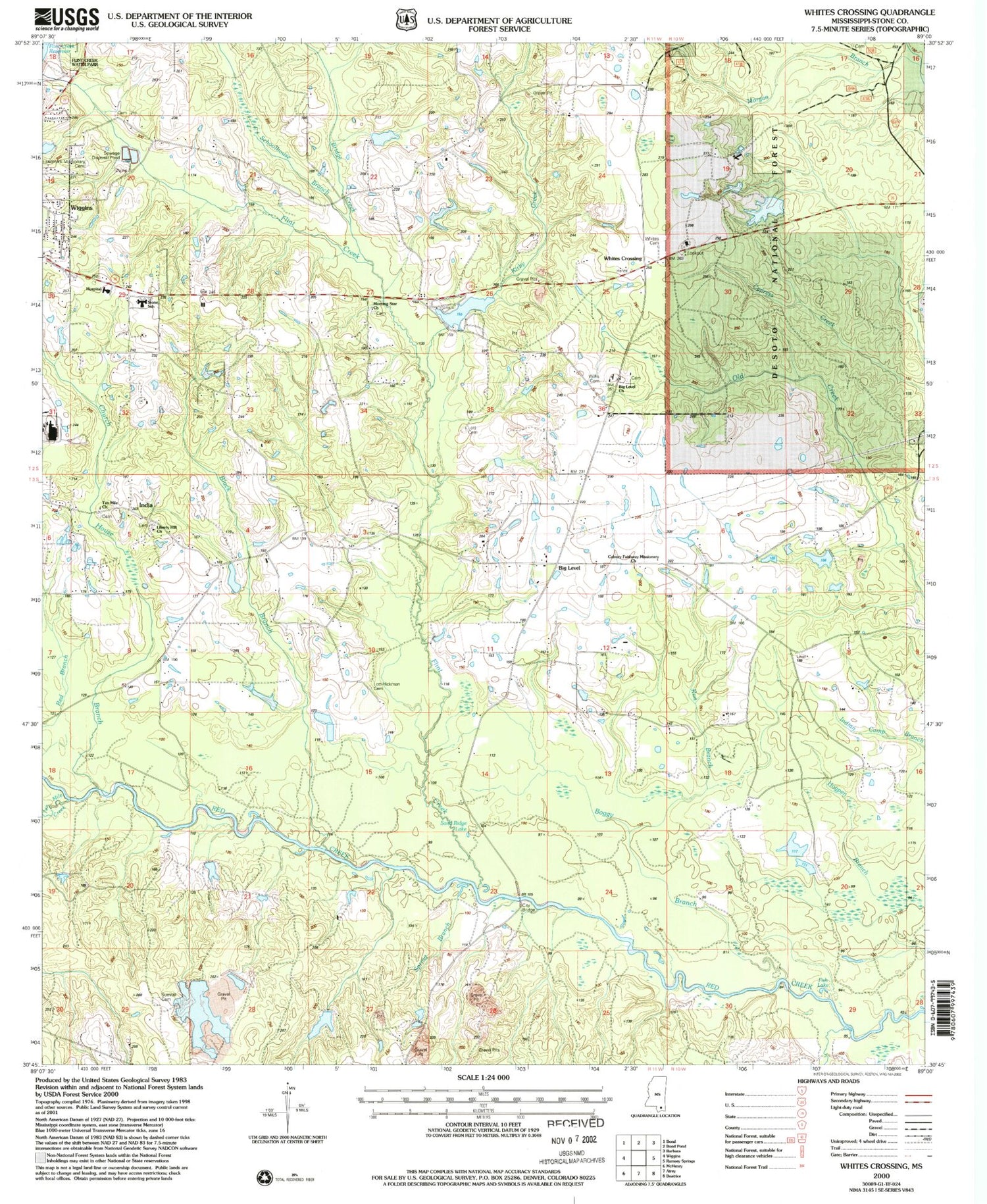
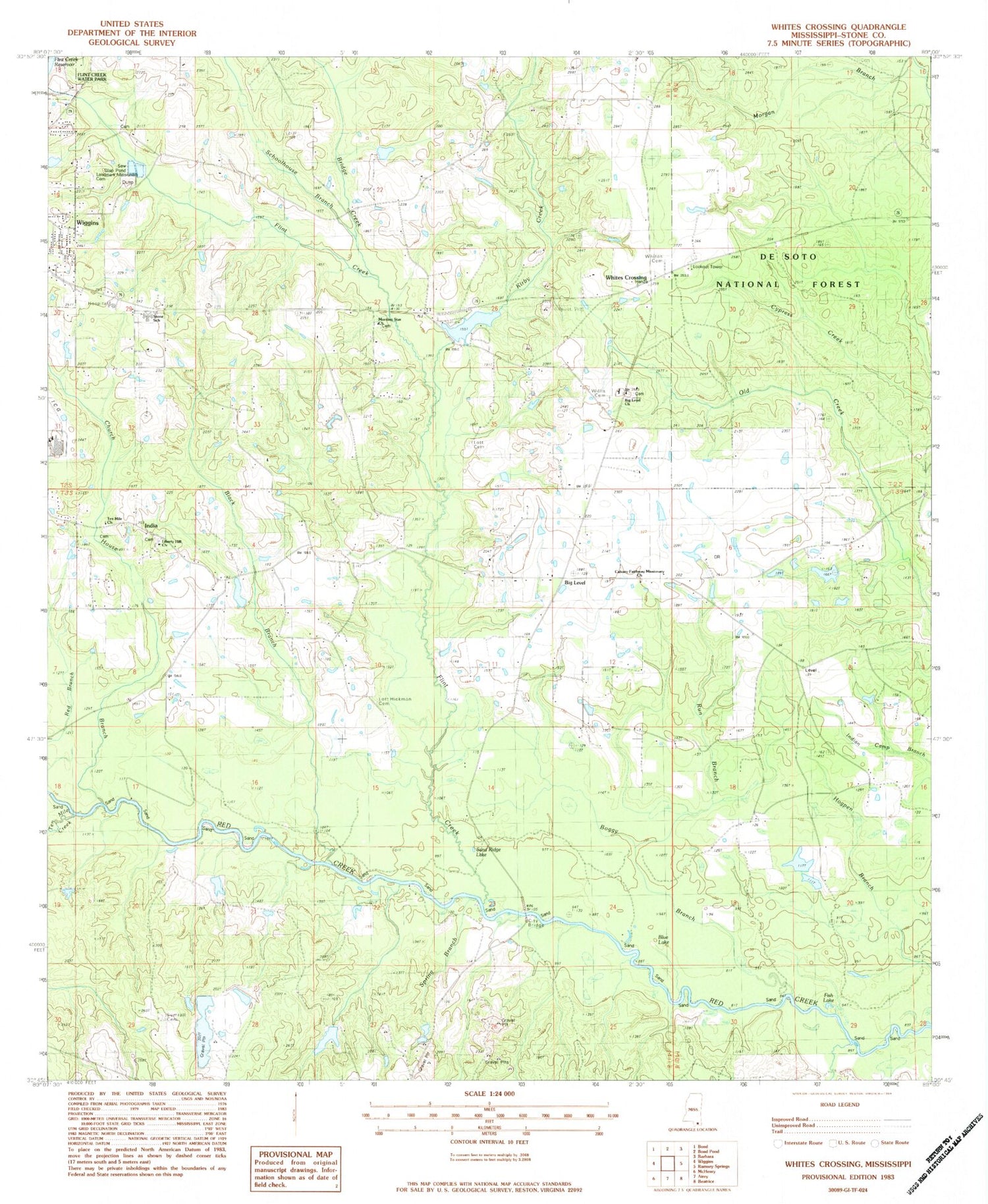
Classic USGS Whites Crossing Mississippi 7.5'x7.5' Topo Map
Couldn't load pickup availability
Historical USGS topographic quad map of Whites Crossing in the state of Mississippi. Map scale may vary for some years, but is generally around 1:24,000. Print size is approximately 24" x 27"
This quadrangle is in the following counties: Stone.
The map contains contour lines, roads, rivers, towns, and lakes. Printed on high-quality waterproof paper with UV fade-resistant inks, and shipped rolled.
Contains the following named places: A and V Lake Dam, Bethel Baptist Church, Big Island, Big Level, Big Level Baptist Church, Big Level Volunteer Fire Department, Black Branch, Blue Lake, Bond Cemetery, Bond Lake Dam, Bridge Creek, Calvary Faithway Missionary Church, Church House Branch, City Bridge, Fairley Lake Dam, Faith Tabernacle Baptist Church, Fish Lake, Flint Creek, Flint Creek Reservoir Dam, Hall Lake Dam, Hatten Lake Dam, India, John Willis Chapel, Kirby Creek, Lake-A-Way Dam, Landmark Missionary Cemetery, Liberty Hill Church, Little Island, Long Branch, Lott Cemetery, Merts Bond Lake Dam, Morgan Branch, Morning Star Church, Red Branch, Red Creek Boat Ramp, Run Branch, Sand Ridge Lake, Schoolhouse Branch, Spring Branch, Stone County, Stone County Hospital, Stone Elementary School, Stone Lookout Tower, Sumrall Cemetery, Ten Mile Church, Vocational High School, Whites Cemetery, Whites Crossing


