MyTopo
Classic USGS Whitestone Rock Washington 7.5'x7.5' Topo Map
Regular price
$16.95
Regular price
Sale price
$16.95
Unit price
per
Couldn't load pickup availability
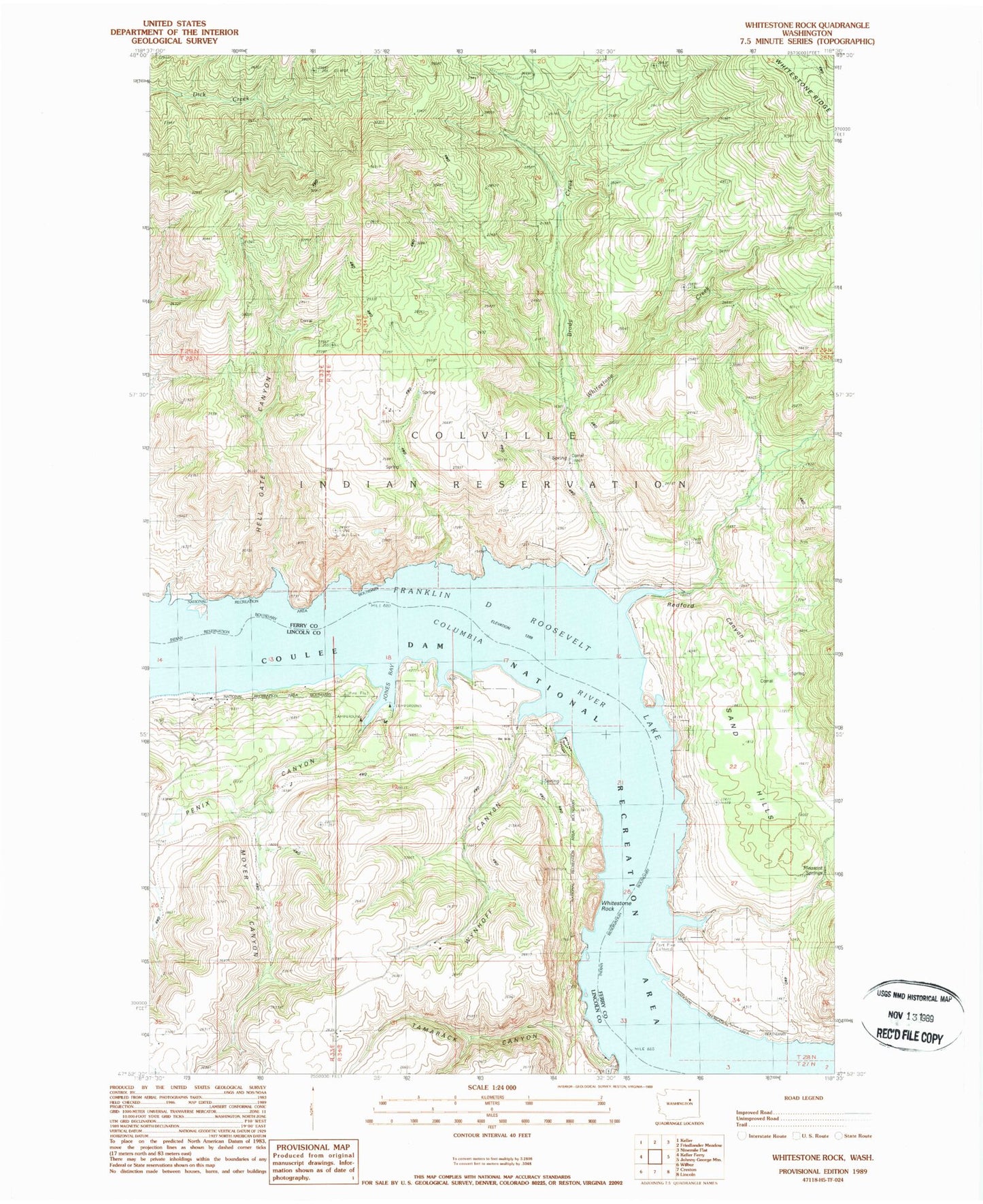
Historical USGS topographic quad map of Whitestone Rock in the state of Washington. Map scale may vary for some years, but is generally around 1:24,000. Print size is approximately 24" x 27"
This quadrangle is in the following counties: Ferry, Lincoln.
The map contains contour lines, roads, rivers, towns, and lakes. Printed on high-quality waterproof paper with UV fade-resistant inks, and shipped rolled.
Contains the following named places: Brody Creek, Hell Gate Canyon, Hellgate Island, Jones Bay, Lundstrom Bay, Moyer Canyon, Penix Canyon, Pheasant Springs, Redford Canyon, Sand Hills, Tamarack Canyon, Whitestone Creek, Whitestone Rock, Wynhoff Canyon