MyTopo
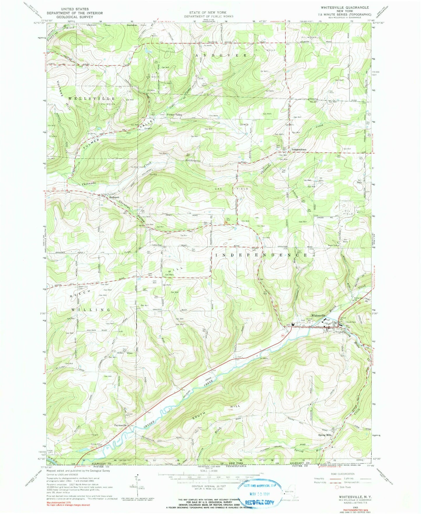
Classic USGS Whitesville New York 7.5'x7.5' Topo Map
Couldn't load pickup availability
Historical USGS topographic quad map of Whitesville in the state of New York. Map scale may vary for some years, but is generally around 1:24,000. Print size is approximately 24" x 27"
This quadrangle is in the following counties: Allegany.
The map contains contour lines, roads, rivers, towns, and lakes. Printed on high-quality waterproof paper with UV fade-resistant inks, and shipped rolled.
Contains the following named places: Beech Hill, Beech Hill Cemetery, Briggs Cemetery, Chenunda Creek Fellowship, Christian Hollow, Fulmer Valley, Fulmer Valley Cemetery, Hallsport, Hallsport Union Cemetery, Hillside Cemetery, Independence, Independence Cemetery, Independence Emergency Squad, Kenyon Road Cemetery, Marsh Creek, North Hill School, Paynesville, Pioneer Cemetery, Roundtop, School Number 3, School Number 4, School Number 5, School Number 6, School Number 7, South Hill, Spring Mills, Spring Mills Cemetery, Spring Mills Creek, Town of Independence, United States Cemetery, Vorhees Hill, Whitesville, Whitesville Central School, Whitesville Fire Department, Whitesville Post Office, Whitesville Public Library, Whitesville Rural Cemetery, Wileyville Creek, ZIP Code: 14897