MyTopo
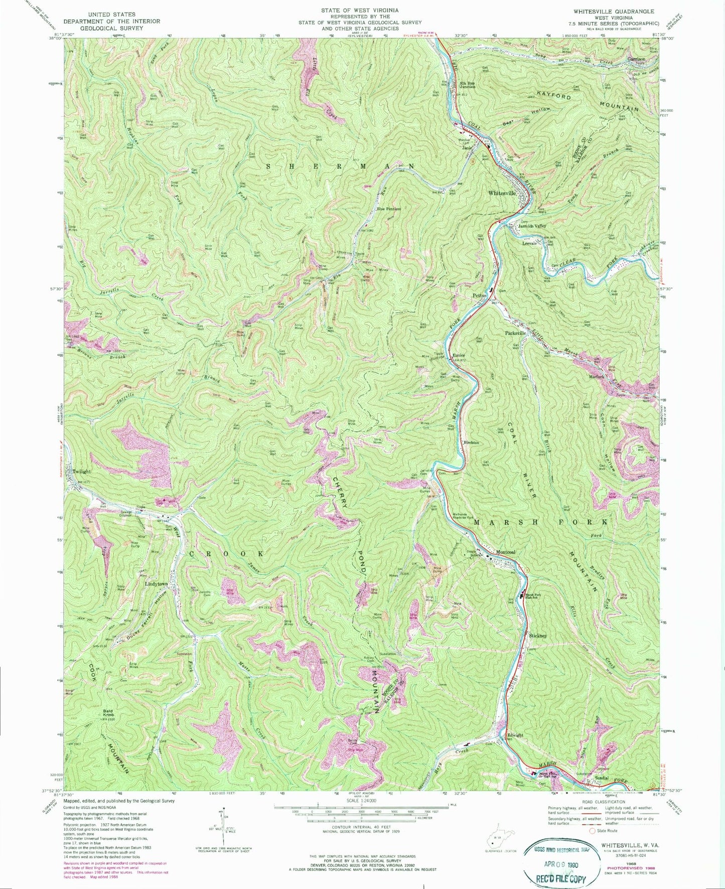
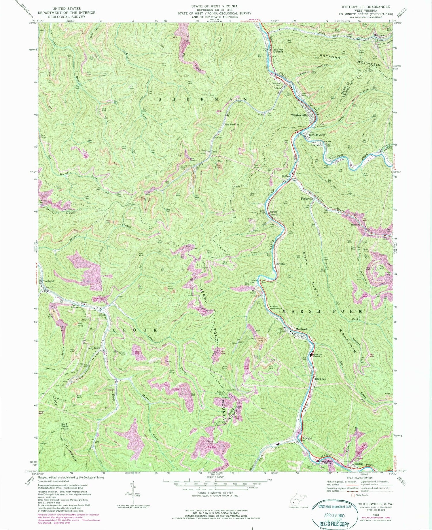
Classic USGS Whitesville West Virginia 7.5'x7.5' Topo Map
Couldn't load pickup availability
Historical USGS topographic quad map of Whitesville in the state of West Virginia. Map scale may vary for some years, but is generally around 1:24,000. Print size is approximately 24" x 27"
This quadrangle is in the following counties: Boone, Raleigh.
The map contains contour lines, roads, rivers, towns, and lakes. Printed on high-quality waterproof paper with UV fade-resistant inks, and shipped rolled.
Contains the following named places: Asbury Cemetery, Bailey Cemetery, Bald Knob, Bear Hollow, Birch Fork, Birchton, Blue Pennant, Bradley Fork, Clear Fork, Coon Hollow, Ducky Ferrell Hollow, Edwight, Elk Run, Elk Run Junction, Ellis Creek, Eunice, Garrison, Hazy Creek, James Creek, Janie, Jarrells Cemetery, Jarrolds Valley, Leevale, Lindytown, Little Marsh Fork, Little Ugly Branch, Low Gap Branch, Lower Big Branch Refuse Impoundment, Marfork, Marsh Fork, Marsh Fork Elementary School, Marsh Fork High School, Marsh Fork Public Library, Matts Creek, Montcoal, Montcoal Post Office, Mooney School, Mordue Cemetery, Packsville, Packsville Post Office, Pettus, Pettus Elementary School, Raleigh - Boone Technical Center, Robinhood Impoundment, Rockhouse Creek, Seng Creek, Shumate Chapel, Shumate Creek, Spruce Lick Fork, Stickney, Stink Run, Sundial, Sundial Post Office, Toms Branch, Town of Whitesville, Twilight, Twilight Census Designated Place, Twilight Post Office, Walhonde Roadside Park, West Virginia State Police Troop 6 - Whitesville Detachment, Whitesville, Whitesville Elementary School, Whitesville Police Department, Whitesville Post Office, Whitesville Public Library, Whitesville Volunteer Fire Department, Whitesville Volunteer Fire Department Pettus Substation, ZIP Codes: 25204, 25209


