MyTopo
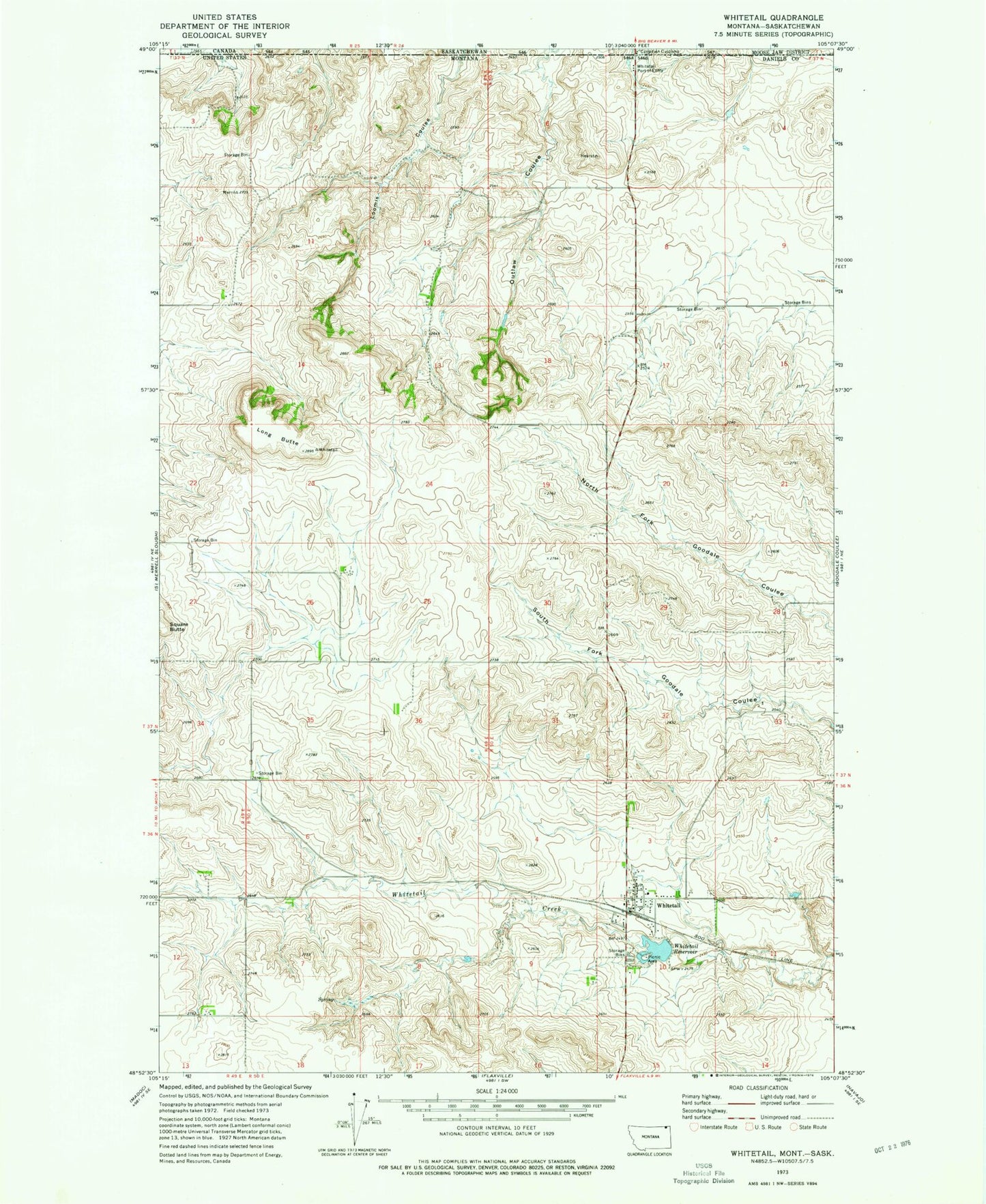
Classic USGS Whitetail Montana 7.5'x7.5' Topo Map
Couldn't load pickup availability
Historical USGS topographic quad map of Whitetail in the state of Montana. Map scale may vary for some years, but is generally around 1:24,000. Print size is approximately 24" x 27"
This quadrangle is in the following counties: Daniels.
The map contains contour lines, roads, rivers, towns, and lakes. Printed on high-quality waterproof paper with UV fade-resistant inks, and shipped rolled.
Contains the following named places: 36N49E01DCAC01 Well, 36N49E01DCAC02 Well, 36N49E12DCDC01 Well, 36N49E12DCDD01 Well, 36N50E03CBDD01 Well, 36N50E03CDDC01 Well, 36N50E03DDCC01 Well, 36N50E10BACA01 Well, 36N50E15BBAD01 Well, 37N49E01CADB01 Well, 37N49E01CCCC01 Well, 37N49E01CCCC02 Well, 37N49E03AADC01 Well, 37N49E11DCDA01 Well, 37N49E12AABB01 Well, 37N49E12ABAA01 Well, 37N49E13DBCB01 Well, 37N50E05BBAA01 Well, 37N50E17BABA01 Well, 37N50E18ADAA01 Well, 37N50E19DDDB01 Well, 59276, Hansen-Barzen Elevator, Hediger Dam, Long Butte, Outlaw Coulee, Port of Whitetail, Saint Thomas Catholic Church, Whitetail, Whitetail Baptist Church, Whitetail Cemetery, Whitetail Census Designated Place, Whitetail Community Church, Whitetail Dam, Whitetail Fire Department, Whitetail Grain Company Elevator, Whitetail Post Office, Whitetail Reservoir, Whitetail Reservoir Fishing Access Site, Whitetail School


