MyTopo
Classic USGS Whitetop Mountain Virginia 7.5'x7.5' Topo Map
Couldn't load pickup availability
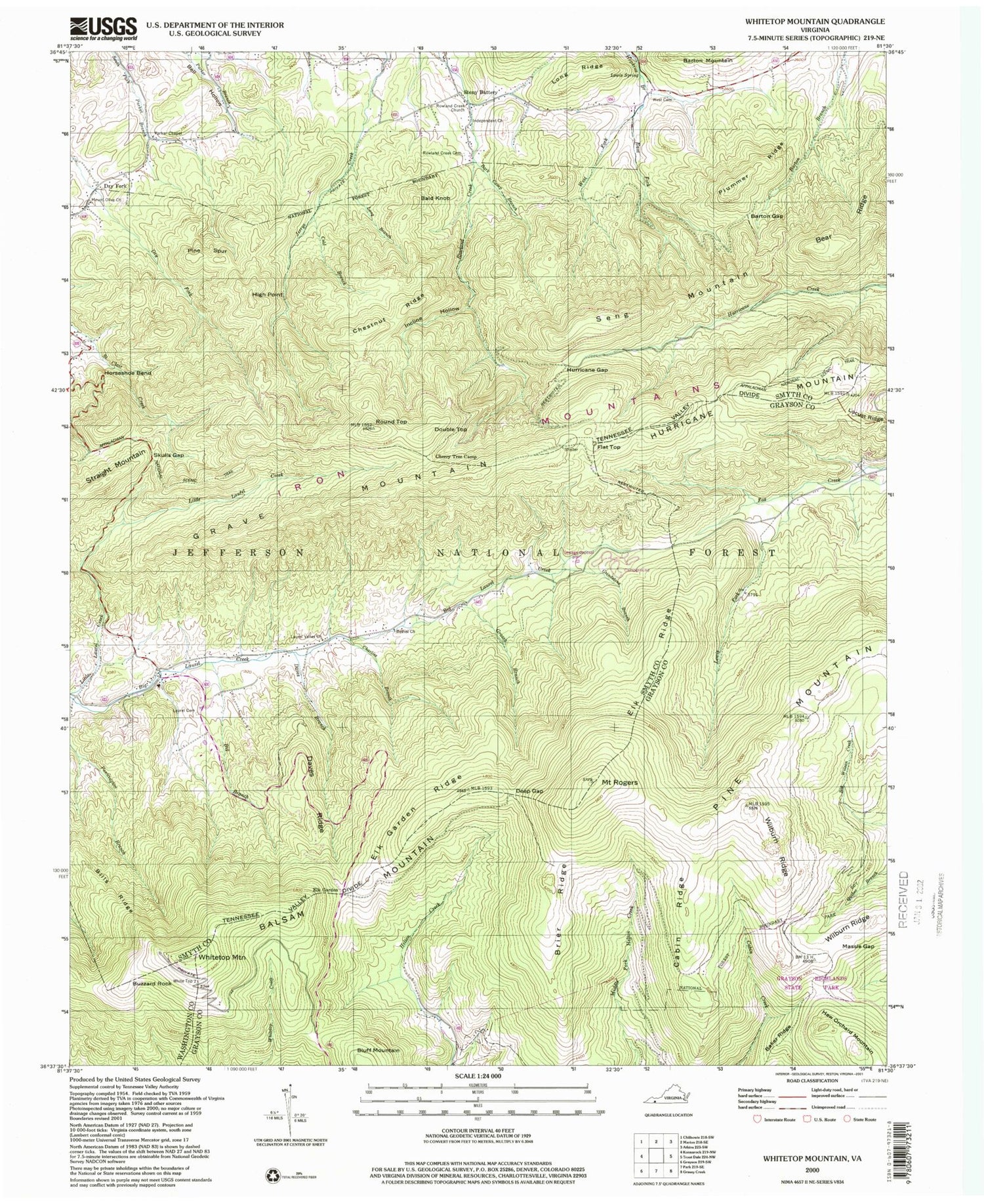
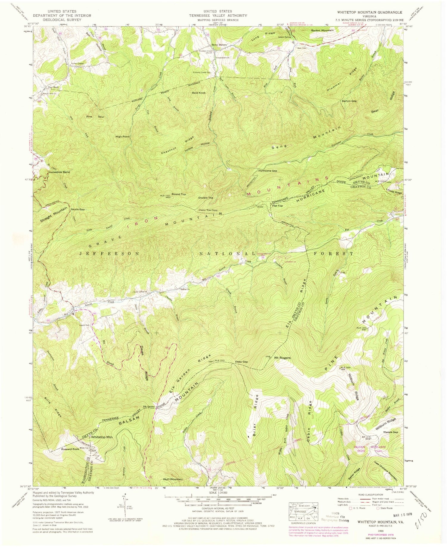
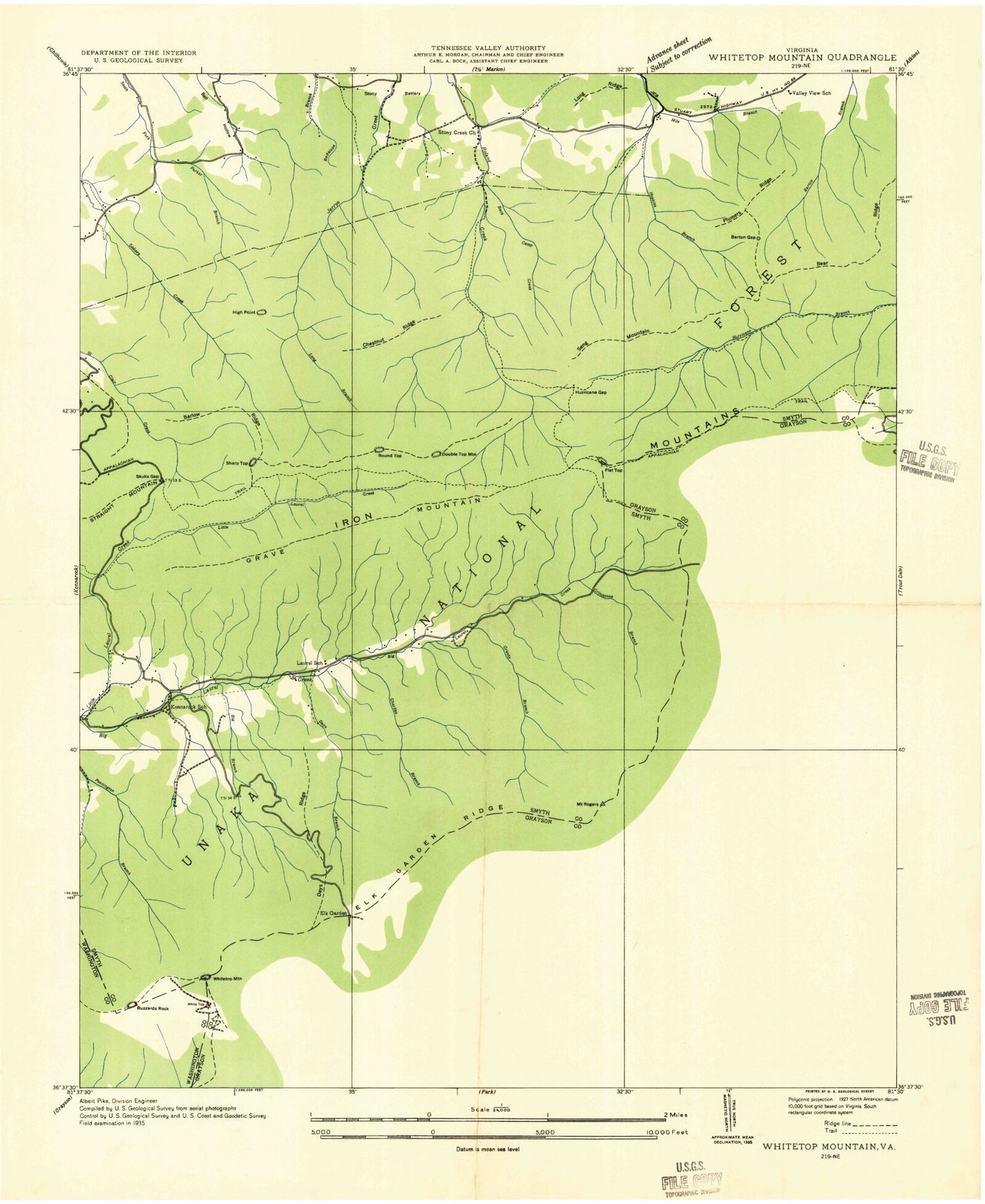
Historical USGS topographic quad map of Whitetop Mountain in the state of Virginia. Typical map scale is 1:24,000, but may vary for certain years, if available. Print size: 24" x 27"
This quadrangle is in the following counties: Grayson, Smyth, Washington.
The map contains contour lines, roads, rivers, towns, and lakes. Printed on high-quality waterproof paper with UV fade-resistant inks, and shipped rolled.
Contains the following named places: Baker Ridge, Bark Camp Branch, Barton Gap, Bear Ridge, Bell Hollow, Bethel Church, Big Branch, Bills Ridge, Brier Ridge, Cabin Ridge, Charles Branch, Cherry Tree Camp, Chestnut Ridge, Cold Branch, Daves Branch, Daves Ridge, Deep Gap, East Fork Hopkins Branch, Elk Garden, Elk Garden Ridge, Elk Ridge, Grassy Branch, Grindstone Branch, Horseshoe Bend, Hurricane Gap, Incline Hollow, Independent Church, Laurel Cemetery, Laurel Valley Church, Lewis Fork, Lewis Spring, Locust Ridge, Long Ridge, Massie Gap, Mount Olive Church, Mount Rogers, Parker Chapel, Pine Mountain, Pine Spur, Plummer Ridge, Round Top, Rowland Creek Cemetery, Rowland Creek Church, Skulls Gap, West Cemetery, West Fork Hopkins Branch, Wilburn Ridge, Old Orchard Trail, Old Orchard Shelter, Skulls Gap Picnic Area, Elk Garden Trail, Helton Creek Trail, Sugar Maple Trail, Mount Rogers Spur, Grassy Branch Trail, Grindstone Campground, Mount Rogers Trail, Cliffside Trail, Lewis Fork Trail, Mount Rogers Trail Head, Fox Creek Horse Camp, Whitetop Mountain Recreation Site, Fox Creek Appalachian Trail Head, Bald Knob, Balsam Mountain, Buzzard Rock, Double Top, Dry Fork, Flat Top, Grave Mountain, Haw Orchard Mountain, High Point, Hurricane Mountain, Seng Mountain, Stony Battery, Whitetop Mountain, Barlow Ridge, Dry Fork School (historical), Konnarock School (historical), Laurel School (historical), Mile Branch, Sharp Top, Lewis Fork Wilderness, Baker Ridge, Bark Camp Branch, Barton Gap, Bear Ridge, Bell Hollow, Bethel Church, Big Branch, Bills Ridge, Brier Ridge, Cabin Ridge, Charles Branch, Cherry Tree Camp, Chestnut Ridge, Cold Branch, Daves Branch, Daves Ridge, Deep Gap, East Fork Hopkins Branch, Elk Garden, Elk Garden Ridge, Elk Ridge, Grassy Branch, Grindstone Branch, Horseshoe Bend, Hurricane Gap, Incline Hollow, Independent Church, Laurel Cemetery, Laurel Valley Church, Lewis Fork, Lewis Spring, Locust Ridge, Long Ridge, Massie Gap, Mount Olive Church, Mount Rogers, Parker Chapel, Pine Mountain, Pine Spur, Plummer Ridge, Round Top, Rowland Creek Cemetery, Rowland Creek Church, Skulls Gap, West Cemetery, West Fork Hopkins Branch, Wilburn Ridge, Old Orchard Trail, Old Orchard Shelter, Skulls Gap Picnic Area, Elk Garden Trail, Helton Creek Trail, Sugar Maple Trail, Mount Rogers Spur, Grassy Branch Trail, Grindstone Campground, Mount Rogers Trail, Cliffside Trail, Lewis Fork Trail, Mount Rogers Trail Head, Fox Creek Horse Camp, Whitetop Mountain Recreation Site, Fox Creek Appalachian Trail Head, Bald Knob, Balsam Mountain, Buzzard Rock, Double Top, Dry Fork, Flat Top, Grave Mountain, Haw Orchard Mountain, High Point, Hurricane Mountain, Seng Mountain, Stony Battery, Whitetop Mountain, Barlow Ridge, Dry Fork School (historical), Konnarock School (historical), Laurel School (historical), Mile Branch, Sharp Top, Lewis Fork Wilderness


