MyTopo
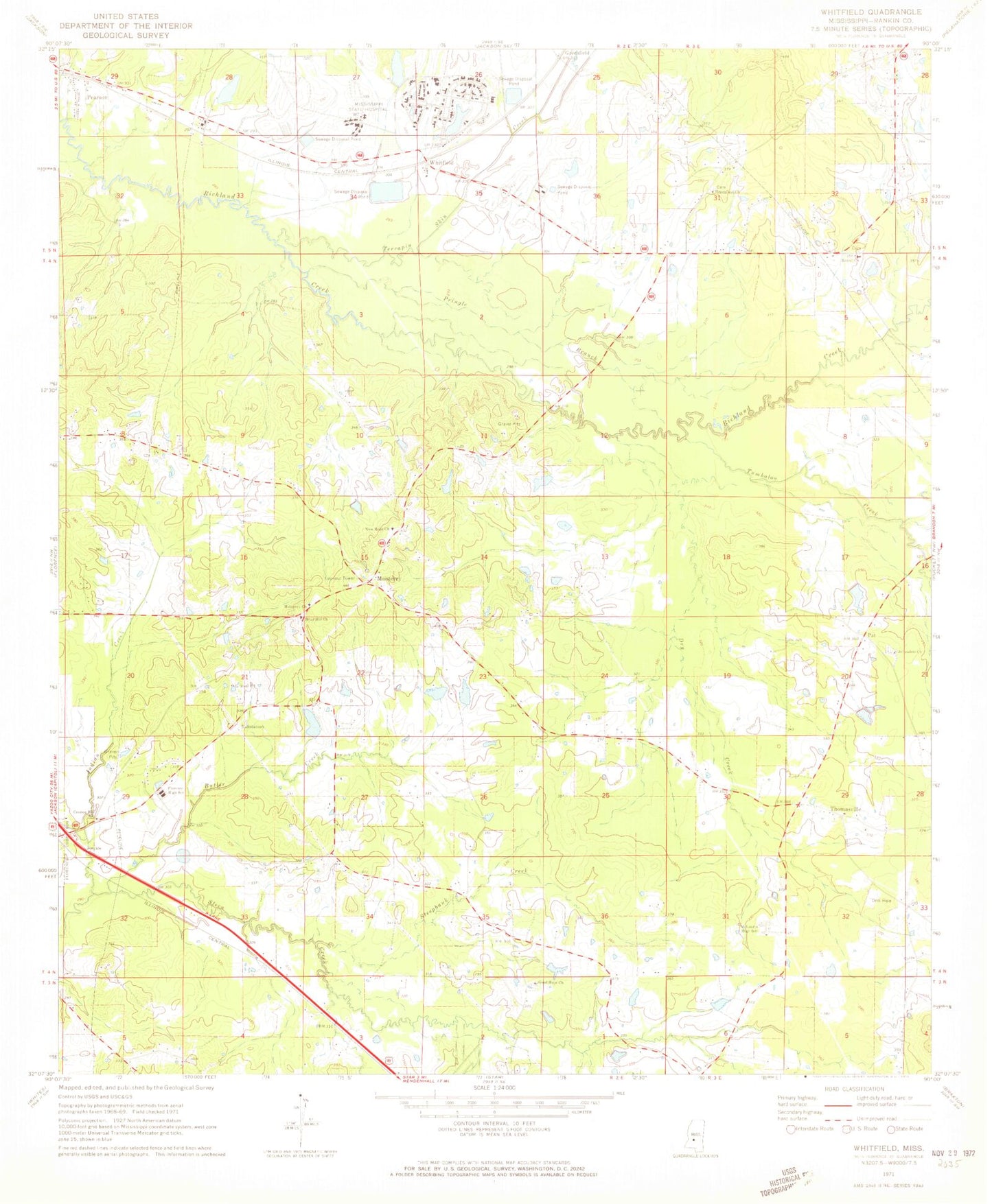
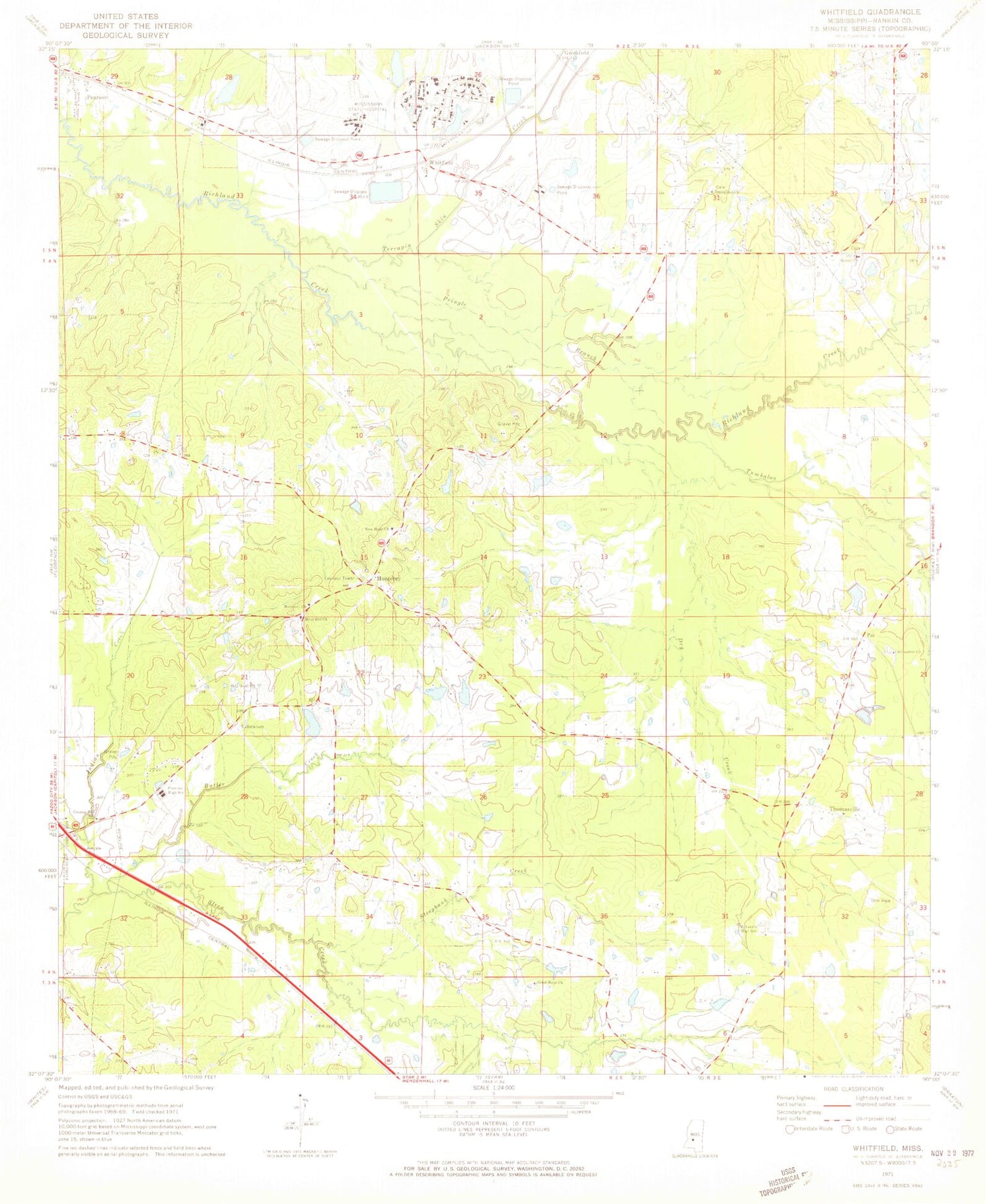
Classic USGS Whitfield Mississippi 7.5'x7.5' Topo Map
Couldn't load pickup availability
Historical USGS topographic quad map of Whitfield in the state of Mississippi. Map scale may vary for some years, but is generally around 1:24,000. Print size is approximately 24" x 27"
This quadrangle is in the following counties: Rankin.
The map contains contour lines, roads, rivers, towns, and lakes. Printed on high-quality waterproof paper with UV fade-resistant inks, and shipped rolled.
Contains the following named places: Bethel Cemetery, Bethel Church, Boteler Lake, Briar Hill Cemetery, Briar Hill Church, Butler Creek, Central Mississippi Correctional Facility, Central Mississippi Correctional Facility Fire Department, City of Florence, Compers Lake Dam, Creston Hill Church, Dry Creek, Dry Creek Cemetery, Ebeneezer Church, Florence Fire Department Station 2, Florence High School, Good Hope Church, Goodhope Cemetery, Greenfield, Greenfield Cemetery, Greenfield Church, Greenfield School, Howell, Hudspeth Retardation Center, Indian Creek, Jerusalem Church, Jerusalem Missionary Baptist Church Cemetery, Lake Patterson, Linden, McLaurin High School, Mississippi Highway Patrol District 1 Troop C, Mississippi State Hospital, Mississippi State Hospital Fire Department, Monterey, Monterey Church, Monterey Volunteer Fire Department, New Hope Cemetery, New Hope Church, Norrell Plantation, Pat, Patterson Lake Dam, Pearson, Pringle Branch, Sand Hill School, Sandhill Church, Sandhill Missionary Baptist Church Cemetery, Smith Lake Dam, Steens Creek Church, Steepbank Creek, Steepbank School, Terrapin Skin Creek, Thomasville, Thomasville Oil and Gas Field, Tullos Field, Tumbaloo Creek, Wesley College, Whitfield, Whitfield Lake Dam, Whitfield Post Office, WMPR-FM (Jackson), ZIP Code: 39193


