MyTopo
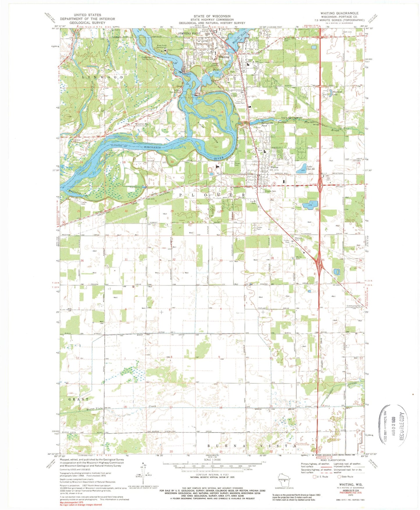
Classic USGS Whiting Wisconsin 7.5'x7.5' Topo Map
Couldn't load pickup availability
Historical USGS topographic quad map of Whiting in the state of Wisconsin. Map scale may vary for some years, but is generally around 1:24,000. Print size is approximately 24" x 27"
This quadrangle is in the following counties: Portage.
The map contains contour lines, roads, rivers, towns, and lakes. Printed on high-quality waterproof paper with UV fade-resistant inks, and shipped rolled.
Contains the following named places: Al Tech County Park, Assembly of God Church, Beautiful Savior Lutheran Church, Ben Franklin Junior High School, Bluebird Lake, Care School, Consolidated County Park, Ditch Number One, Ditch Number Two, Easlan-Waslan Park, Fields Island, Halladay Creek, Isherwood Lateral, J H Morgan House, Lake Clar-Re, Lake Pacawa, Little Plover River, Little Plover River Park, Maine Cemetery, Maine School, Manufacturers Direct Mall Shopping Center, McDill 2-WP-1579 Dam, McDill Cemetery, McDill Elementary School, McDill Pond, McDill Pond 163, Memorial Park, Pacawa Park, Plover, Plover - Whiting Elementary School, Plover Cemetery, Plover Police Department, Plover Post Office, Plover River, Plover United Methodist Church, Plover Wastewater Treatment Plant, Point 4 the Future School, Portage County, River Pines Sanatorium, River Valley School, Roosevelt I D E A School, Royal Wood Park, Runway Leasing Inc Number 2 Airport, Saint Bronislava Church, Saint Bronislava Elementary School, Seventh Day Adventist Church, Seventh Day Adventist School, Springville Dam, Springville Pond, Springville Pond Park, Town of Plover, Upper Paper Mill WP235 Dam, Village of Plover, Village of Plover Fire Department Station 1, Village of Plover Fire Department Station 2, Village of Whiting, Whiting, Whiting Park, Whiting Plover 2WP843 Dam, Wisconsin River Country Club, Wisconsin River Flowage Number 1 51, Wisconsin River Flowage Number 2 49, WTLI-AM (Village of Plover), Yellow Banks, ZIP Code: 54467


