MyTopo
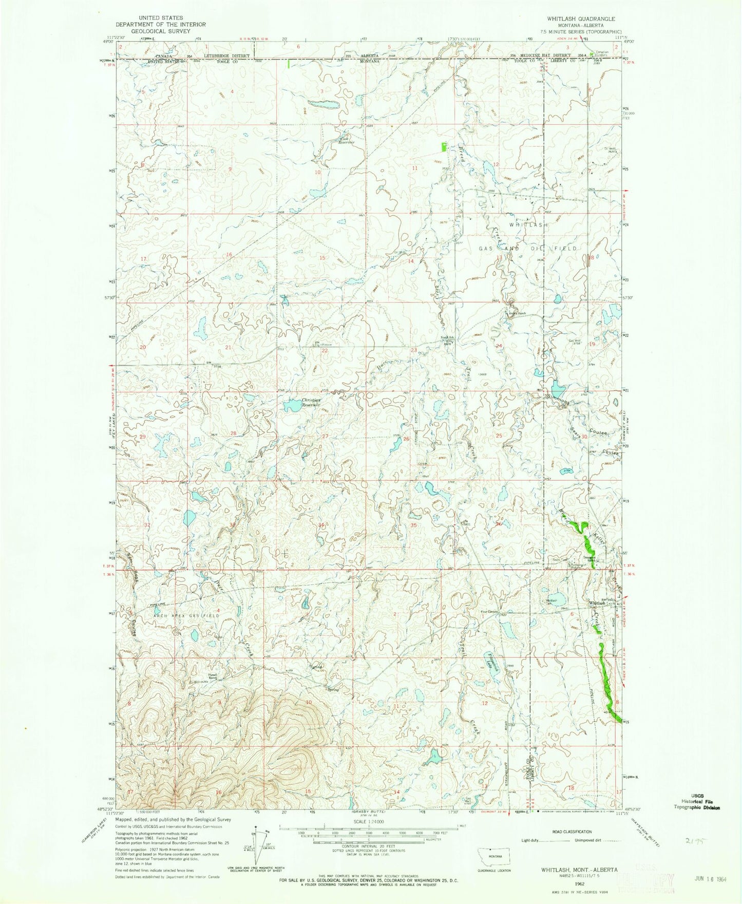
Classic USGS Whitlash Montana 7.5'x7.5' Topo Map
Couldn't load pickup availability
Historical USGS topographic quad map of Whitlash in the state of Montana. Map scale may vary for some years, but is generally around 1:24,000. Print size is approximately 24" x 27"
This quadrangle is in the following counties: Liberty, Toole.
The map contains contour lines, roads, rivers, towns, and lakes. Printed on high-quality waterproof paper with UV fade-resistant inks, and shipped rolled.
Contains the following named places: 36N03E03CACB01 Spring, 36N03E05DACA01 Spring, 36N03E09ACCD01 Spring, 36N03E10DCAA01 Well, 36N03E12DDAA01 Well, 36N03E14ACDC01 Well, 36N04E05BCBC01 Well, 36N04E06ADDA01 Well, 36N04E06ADDB01 Well, 36N04E06ADDB02 Well, 36N04E06DACD01 Well, 36N04E06DACD02 Well, 36N04E07ADDD01 Well, 36N04E07DBAD01 Well, 37N03E01CBCB01 Well, 37N03E05CABC01 Well, 37N03E11ADAA01 Well, 37N03E12BCDC01 Well, 37N03E12CBDD01 Well, 37N03E15DADD01 Well, 37N03E24ABBB01 Well, 37N03E24ABBD01 Well, 37N03E24ABBD02 Well, 37N03E25AACA01 Well, 37N03E26DABD01 Well, 37N03E26DCCA01 Well, 37N03E28DCCC01 Well, 37N04E06BDAA01 Well, 37N04E07CDDD01 Well, 37N04E31CAAB01 Well, 37N04E31CDAD01 Well, 37N04E31CDCA01 Well, Arch Apex Gas Field, Belle Creek, Brown Dam, Brown Diversion Dam, Brown Ranch, Brown Reservoir, Camp Morris, Christian Dam, Christian Reservoir, Cook Reservoir, Demarest Ranch, Demerest Dam, Duce Creek, Fitzpatrick Lake, Four Corners, Hay Coulee, Italion Stallion Dam, Keller Creek, Kent Coulee, Morris Number 1 Dam, Morris Reservoir, Multiplier Dam, North School, Parsell Ranch, Port of Whitlash, Sears Coulee, Simmons Coulee, Spring Coulee, Trail Creek, Two Turtle Dam, United States Customs and Border Protection Whitlash Port of Entry, Whitlash, Whitlash Cemetery, Whitlash Census Designated Place, Whitlash Post Office, Whitlash Presbyterian Church, Whitlash School


