MyTopo
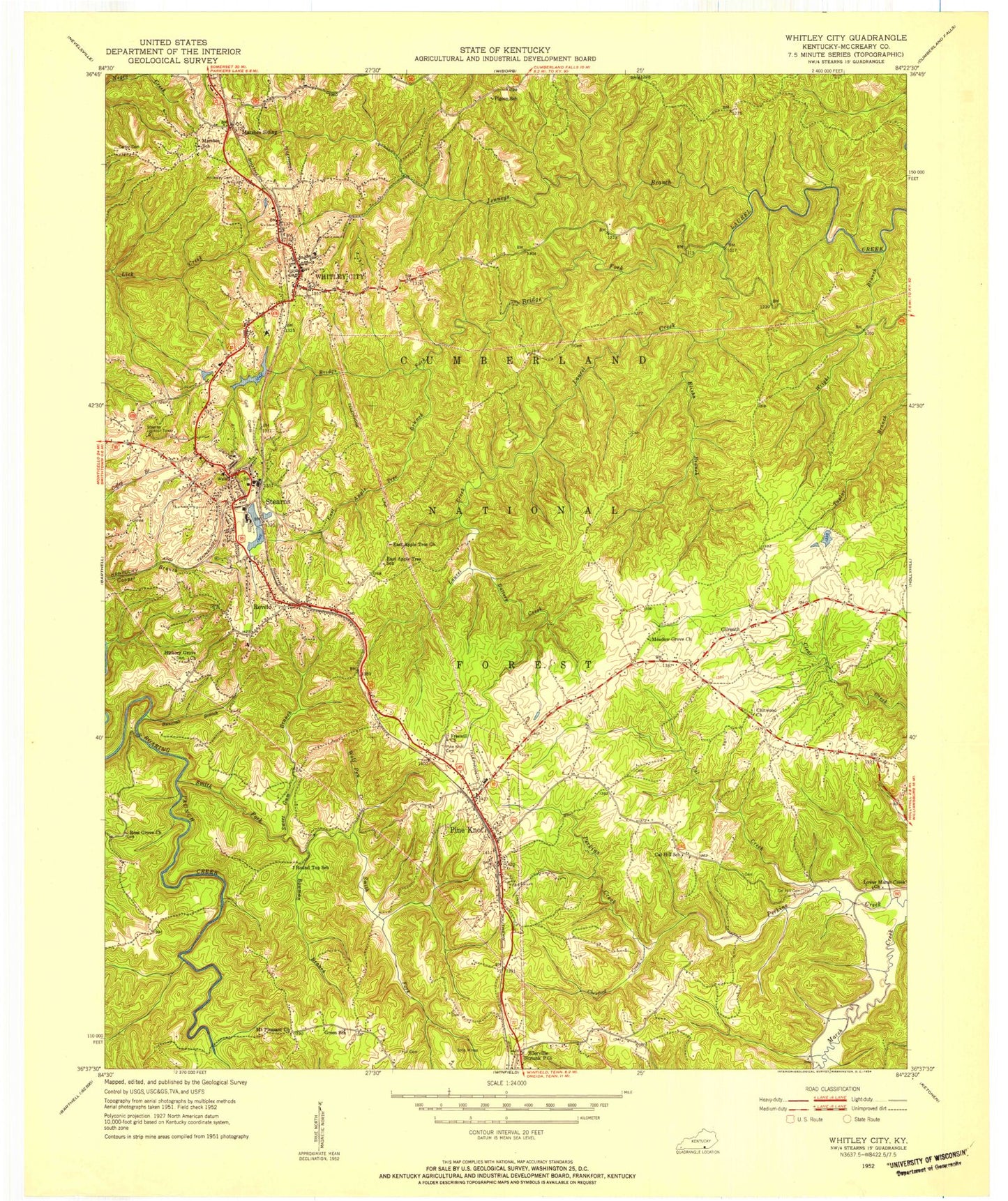
Classic USGS Whitley City Kentucky 7.5'x7.5' Topo Map
Couldn't load pickup availability
Historical USGS topographic quad map of Whitley City in the state of Kentucky. Map scale may vary for some years, but is generally around 1:24,000. Print size is approximately 24" x 27"
This quadrangle is in the following counties: McCreary.
The map contains contour lines, roads, rivers, towns, and lakes. Printed on high-quality waterproof paper with UV fade-resistant inks, and shipped rolled.
Contains the following named places: American Legion Knoll, Battery Creek, Bowman Branch, Bridge Fork, Buncomb Branch, Cal Creek, Cal Hill Cemetery, Cal Hill Church, Carter Cemetery, Chewford Creek, East Apple Tree Branch, East Apple Tree Church, East Pine Knot Church, Elisha Branch, Freewill Church, Gilreath, Gilreath Cemetery, Hickory Grove, Hill Cemetery, Hollaway Cemetery, Indian Knob, Jenneys Branch, Laurel Creek Reservoir, Laurel Creek Trail, Lower Marsh Creek Church, Marshes Siding, Marshes Siding Post Office, Mc Creary County Airport, McCreary County, McCreary County Ambulance Service, McCreary County Search and Rescue, McCreary County Sheriff's Offfice, Meadow Grove Church, Mount Pleasant Church, Otter Creek, Pine Knot, Pine Knot Cemetery, Pine Knot Census Designated Place, Pine Knot Division, Pine Knot Fire Station, Pine Knot Job Corps Center, Pine Knot Post Office, Revelo, Revelo Post Office, Ross Grove Church, Roundtop Church, Silerville, Silerville Church, Smith Fork, South McCreary Fire and Rescue Main Station, Stearns, Stearns Census Designated Place, Stearns Post Office, Stearns Ranger Station, Stearns State Lookout Tower, Stearns-Whitley City Division, Strunk Post Office, Sweet Gum Branch, United Sates Penitentiary McCreary, WEQO-AM (Whitley City), WHAY-FM (Whitley City), Whitley City, Whitley City Census Designated Place, Whitley City Fire Station, Whitley City Post Office, Wolf Pen Creek, Wright Branch, ZIP Codes: 42631, 42635, 42638


