MyTopo
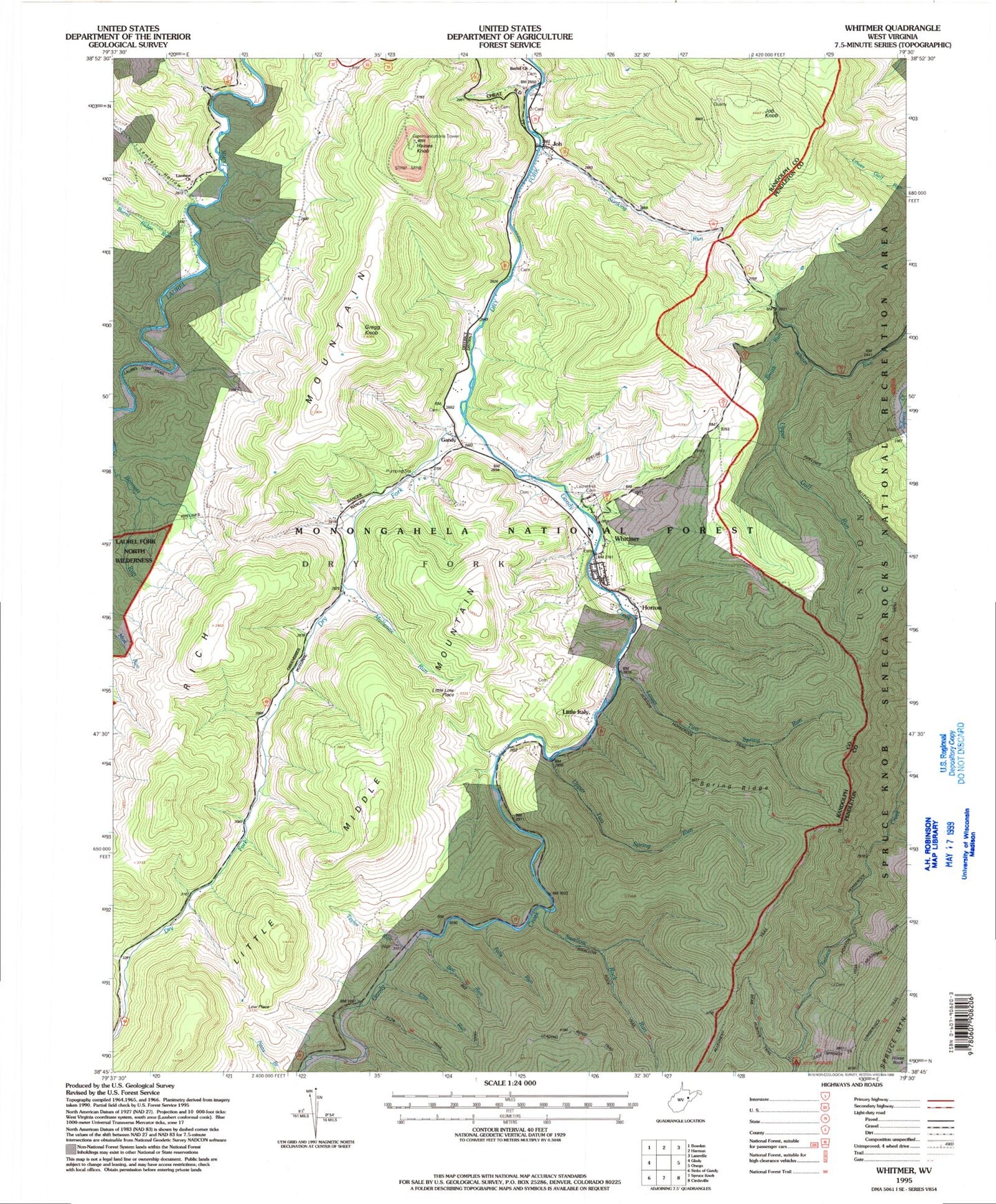
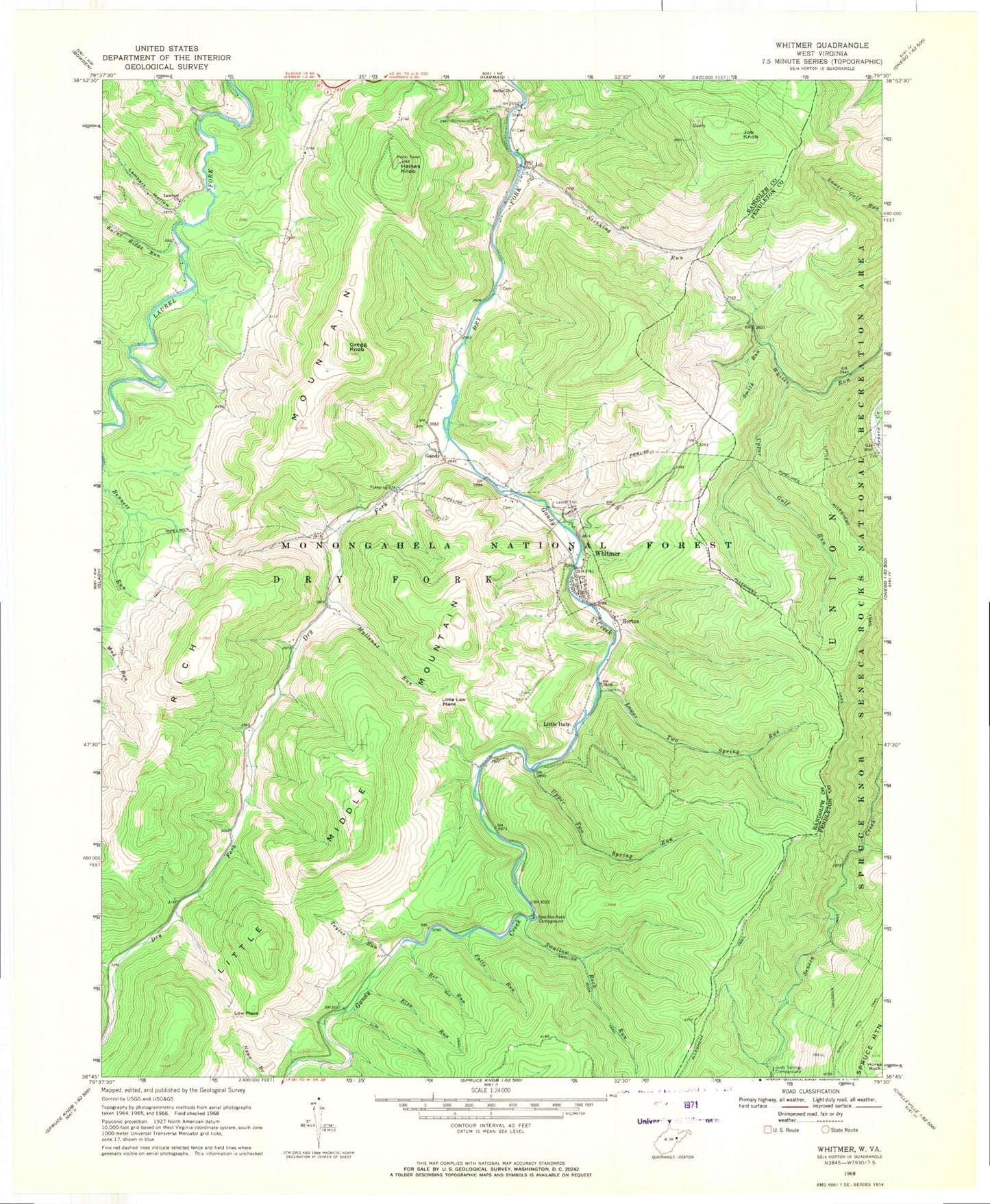
Classic USGS Whitmer West Virginia 7.5'x7.5' Topo Map
Couldn't load pickup availability
Historical USGS topographic quad map of Whitmer in the state of West Virginia. Typical map scale is 1:24,000, but may vary for certain years, if available. Print size: 24" x 27"
This quadrangle is in the following counties: Pendleton, Randolph.
The map contains contour lines, roads, rivers, towns, and lakes. Printed on high-quality waterproof paper with UV fade-resistant inks, and shipped rolled.
Contains the following named places: Allegheny Trail, Bee Run, Bee Trail, Bennett Run, Bethel Church, Burnt Ridge Run, Elza Run, Elza Trail, Falls Run, Gandy, Gandy Creek, Gregg Knob, Haines Knob, Horton Trail, Horse Rock, Job, Job Knob, Judy Springs Campground, Lambert Church, Lambert Hollow, Laurel Hill Cemetery, Lee Bennett Hollow, Little Allegheny Trail, Little Low Place, Low Place, Lower Two Spring Run, Mullenax Run, Smith Run, Lumberjack Trail, Stinking Run, Swallow Rock Campground, Swallow Rock Run, Swallow Rock Trail, Taylor Run, Upper Gulf Run, Upper Two Spring Run, Whitmer, Spring Ridge, Bear Hunter Trail, Judy Springs Trail, Horton, Little Italy, Mary Elza Spring, Ray Mullennex Spring, Sallys Cabin Spring, William Armentrout Spring, Snyder Spring, Dry Fork School (historical), Lambert School (historical), White (historical), Dry Fork District, Whitmer Volunteer Fire Department, Whitmer Census Designated Place