MyTopo
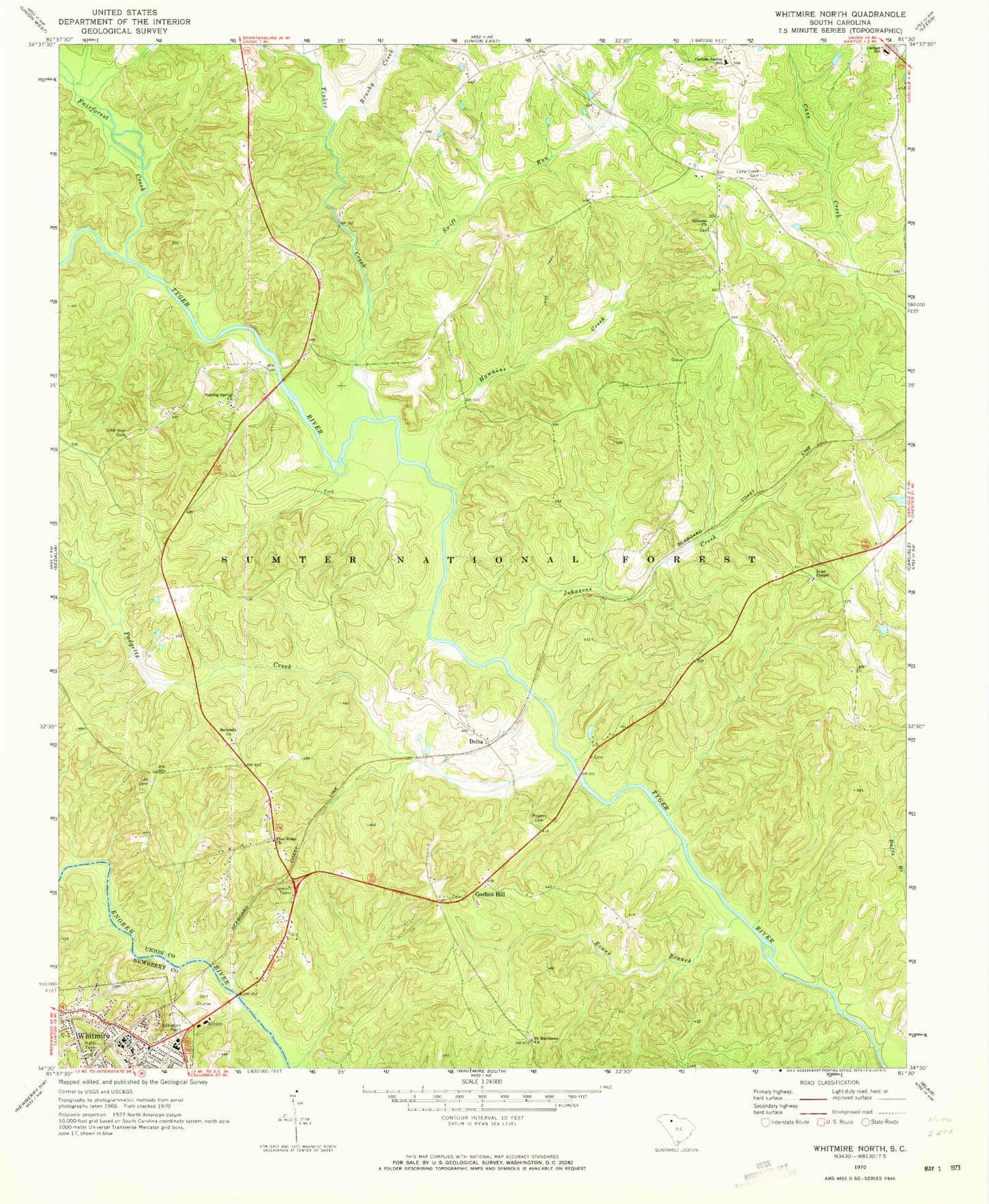
Classic USGS Whitmire North South Carolina 7.5'x7.5' Topo Map
Couldn't load pickup availability
Historical USGS topographic quad map of Whitmire North in the state of South Carolina. Map scale may vary for some years, but is generally around 1:24,000. Print size is approximately 24" x 27"
This quadrangle is in the following counties: Newberry, Union.
The map contains contour lines, roads, rivers, towns, and lakes. Printed on high-quality waterproof paper with UV fade-resistant inks, and shipped rolled.
Contains the following named places: Ada, Beattys Bridge Hunt Camp, Beaty Bridge, Beaty Bridge School, Beaver Dam, Bethesda Baptist Church, Black Rock Church, Black School, Briggs Cemetery, Brushy Creek, Canaan Church, Cane Creek Cemetery, Carlisle-Santuc School, Carlsan Elementary School, Cold Well Cemetery, Cold Well Church, Cold Well School, Delta, Doil Creek, Evans Branch, Fairforest Creek, Fant Cemetery, Gage School, Gilliam Chapel Methodist Church, Gilliams Cemetery, Goshen Hill, Greenbrier School, Hamiltons Ford, Hawkins Creek, Hawkins Shoals, Healing Spring Church, Hendricks Falls, Jeter Chapel African Methodist Episcopal Church, Johnsons Creek, Kennedys Ford, Lee Cemetery, Linams Mills, Masters Southern Baptist Church, McDaniel Cemetery, Newberry County Rural Fire Department Whitmire Station 3, Otterson Fort Cemetery, Padgetts Creek, Pine Ridge Baptist Church, Red Town, Rodgers Church, Rogers Cemetery, Rogers Ferry, Saint Mathews African Methodist Episcopal Church, Salters Creek, Sartor Town, Sims Cemetery, Swift Run, Thorp Bridge, Tinker Creek, Tinker Creek School, Town of Whitmire, White Oak Hunt Camp, Whitmire, Whitmire Cemetery, Whitmire High School, Whitmire Lookout, Whitmire Lookout Tower, Whitmire Police Department, Whitmire Rescue Squad


