MyTopo
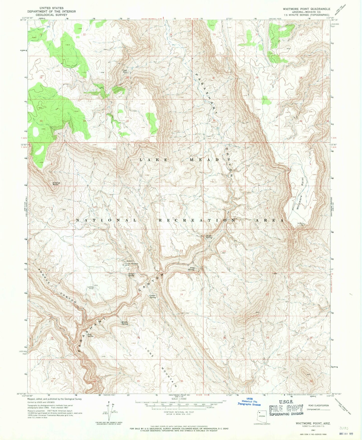
Classic USGS Whitmore Point Arizona 7.5'x7.5' Topo Map
Couldn't load pickup availability
Historical USGS topographic quad map of Whitmore Point in the state of Arizona. Map scale may vary for some years, but is generally around 1:24,000. Print size is approximately 24" x 27"
This quadrangle is in the following counties: Mohave.
The map contains contour lines, roads, rivers, towns, and lakes. Printed on high-quality waterproof paper with UV fade-resistant inks, and shipped rolled.
Contains the following named places: Andrus Canyon, Andrus Point, Cedar Spring, Chefs Pond, Copper Mountain Mine, Cupe Seep, End Spring, Frog Spring, George Spring, Georges Spring, Grassie Point Reservoir, Iverson Tank, Keyhole Dam, Lone Mountain, Middle Spring, Show Pockets Tank, Shults Spring, Slick Rock Tank, Whitmore Point