MyTopo
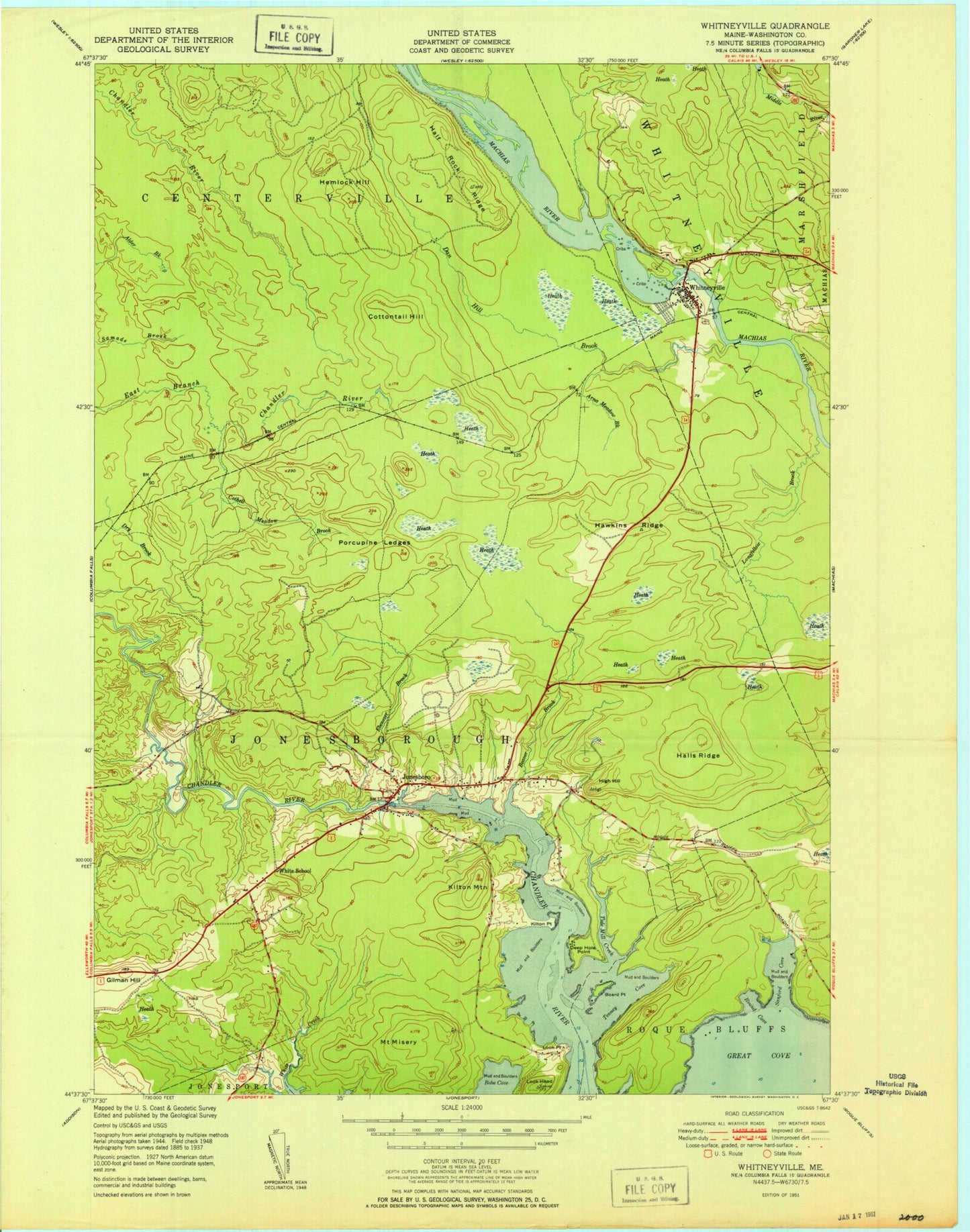
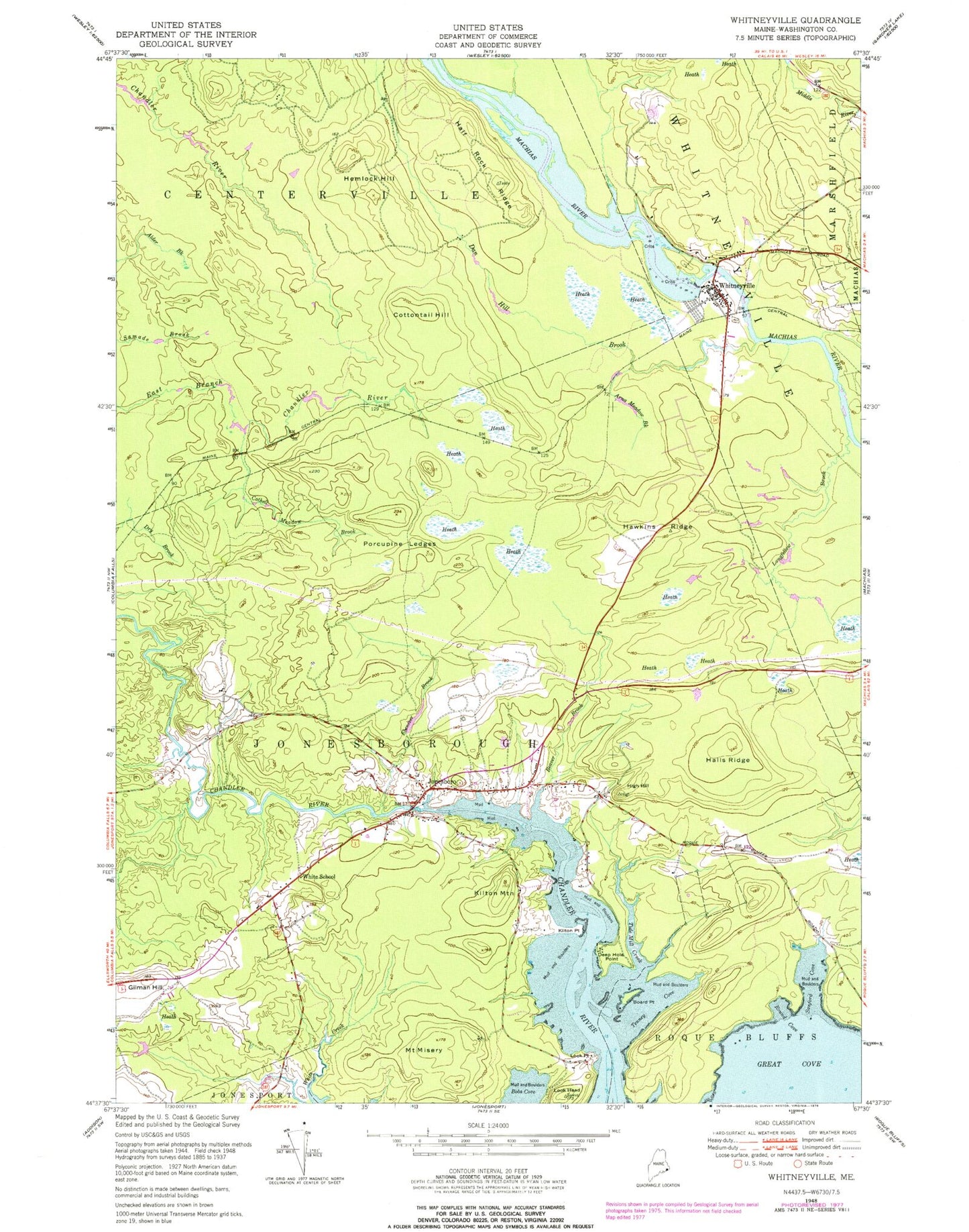
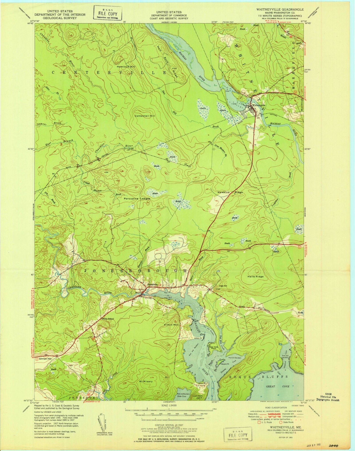
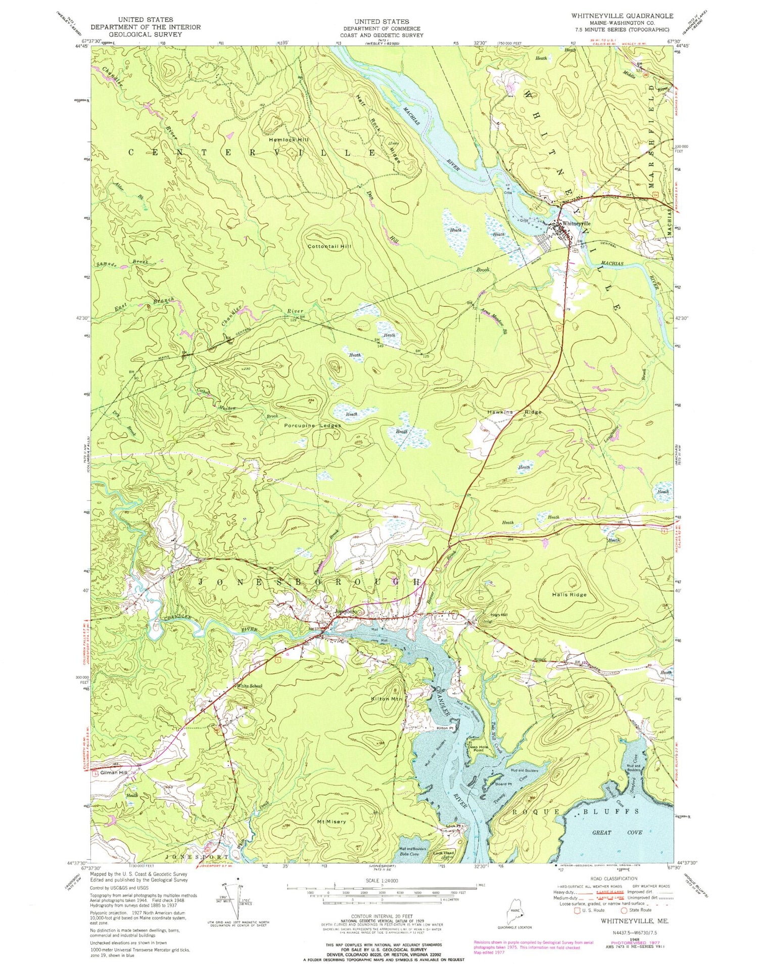
Classic USGS Whitneyville Maine 7.5'x7.5' Topo Map
Couldn't load pickup availability
Historical USGS topographic quad map of Whitneyville in the state of Maine. Map scale may vary for some years, but is generally around 1:24,000. Print size is approximately 24" x 27"
This quadrangle is in the following counties: Washington.
The map contains contour lines, roads, rivers, towns, and lakes. Printed on high-quality waterproof paper with UV fade-resistant inks, and shipped rolled.
Contains the following named places: Arna Meadow Brook, Beaver Brook, Board Point, Bobs Cove, Cothell Meadow Brook, Cottontail Hill, Dan Hill Brook, Deep Hole Point, Drisko Airport, Dry Brook, Ebenezer Brook, Gilman Hill, Great Cove, Half Rock Ridge, Halls Ridge, Hawkins Ridge, Hemlock Hill, High Hill, Jonesboro, Jonesboro Elementary School, Jonesboro Fire Department, Jonesboro Post Office, Kilton Mountain, Kilton Point, Longfellow Brook, Look Head, Look Point, Mount Misery, Porcupine Ledges, Round Cove, Sanford Cove, Sunkhaze Campground, Tenney Cove, Tide Mill Creek, Town of Jonesboro, Town of Whitneyville, WALZ-FM (Machias), White School, Whitneyville, Whitneyville Congregational Church, Whitneyville Public Library, ZIP Code: 04648


