MyTopo
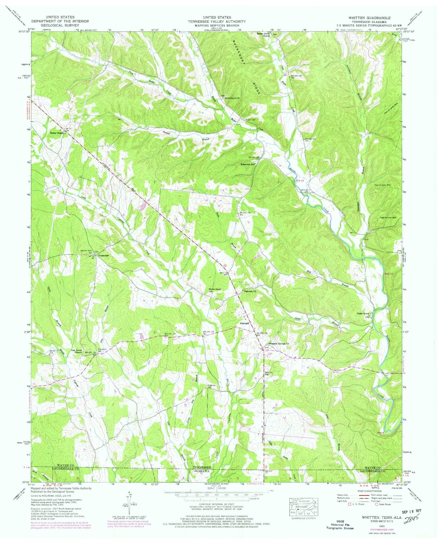
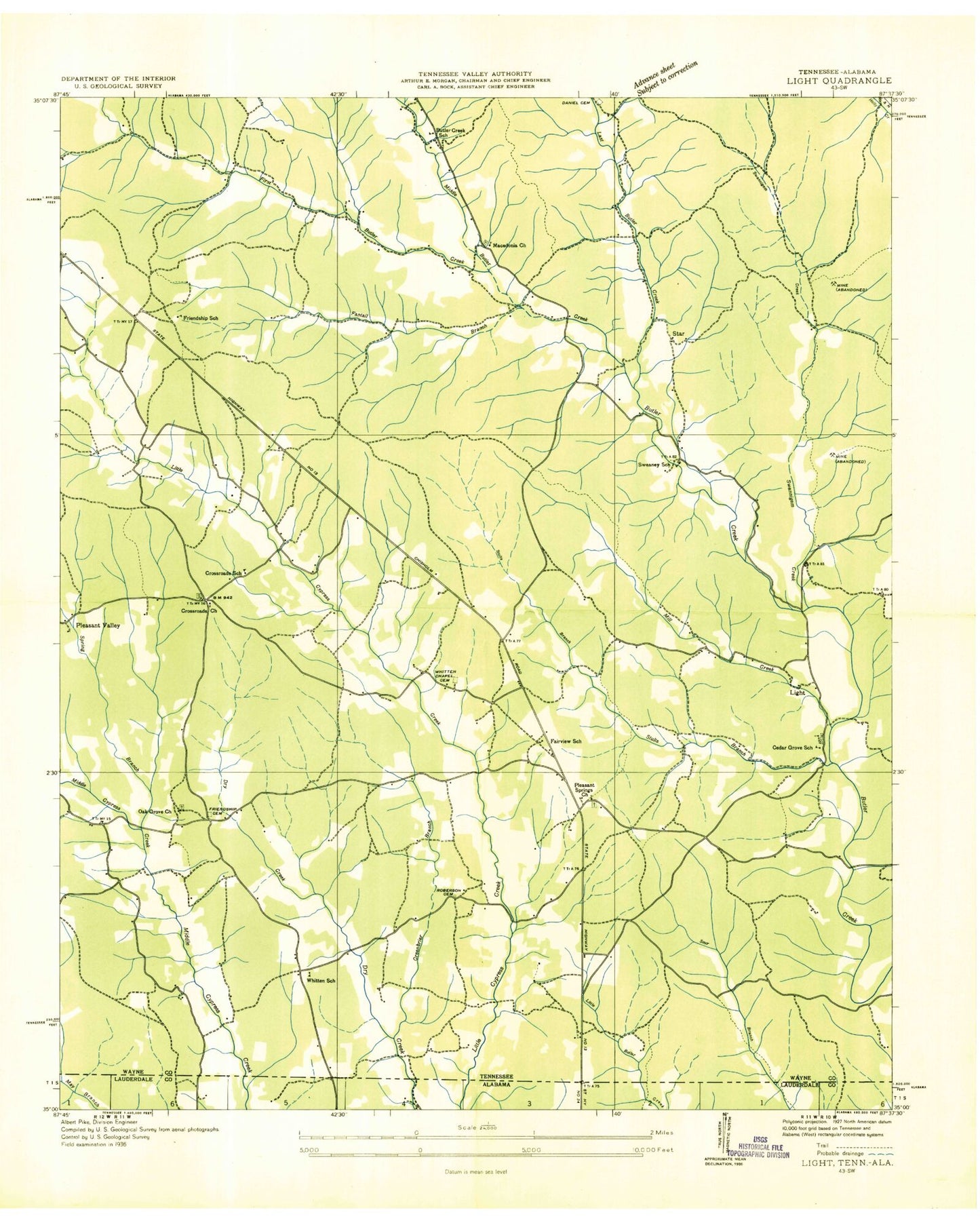
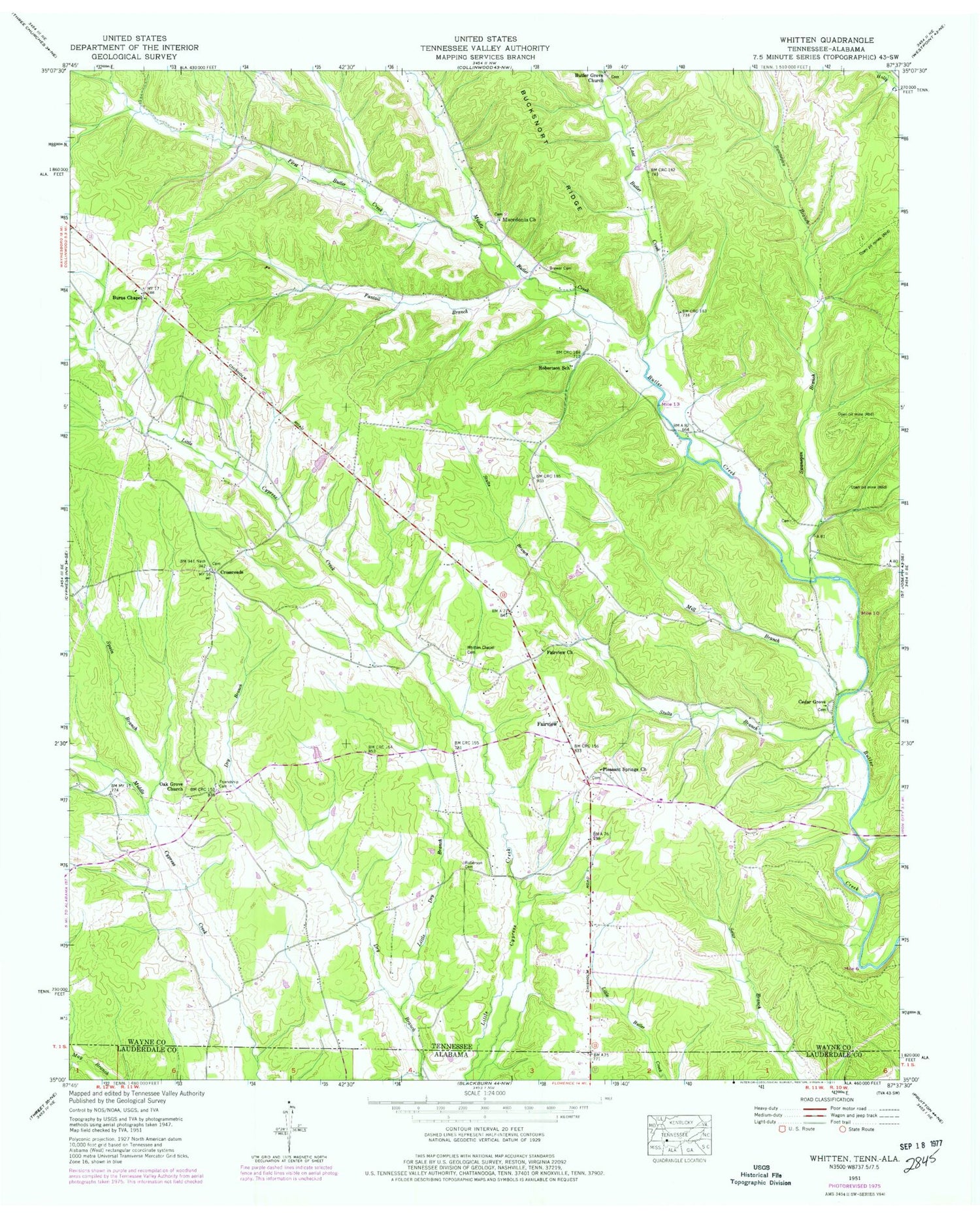
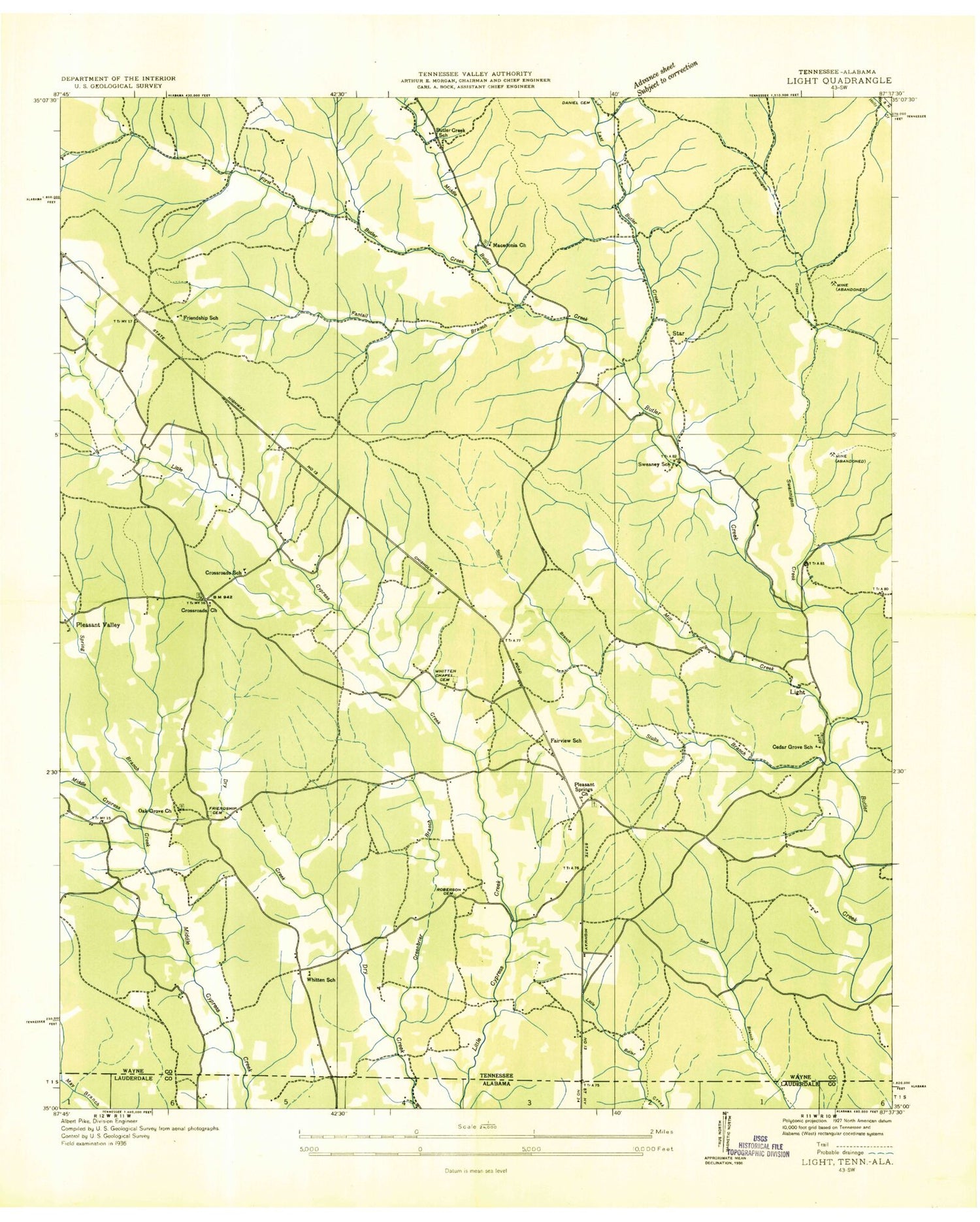
Classic USGS Whitten Tennessee 7.5'x7.5' Topo Map
Couldn't load pickup availability
Historical USGS topographic quad map of Whitten in the state of Tennessee. Map scale may vary for some years, but is generally around 1:24,000. Print size is approximately 24" x 27"
This quadrangle is in the following counties: Lauderdale, Wayne.
The map contains contour lines, roads, rivers, towns, and lakes. Printed on high-quality waterproof paper with UV fade-resistant inks, and shipped rolled.
Contains the following named places: Brewer Cemetery, Burns Chapel, Butler Grove Cemetery, Butler School, Cedar Grove Baptist Church, Cedar Grove Cemetery, Cedar Grove School, Commissioner District 6, Crossroads, Crossroads Church, Crossroads School, Fairview, Fairview Church, Fairview Church of Christ, Fairview School, Fantail Branch, First Butler Creek, Friendship Cemetery, Friendship School, Hardwick Cemetery, Hensley Cemetery, Last Butler Creek, Light, Little Dry Branch, Littrell-White Prospect, Lull Mine, Macedonia Cemetery, Macedonia Church, Middle Butler Creek, Mill Branch, Oak Grove Baptist Church, Oak Grove Cemetery, Old Mount Bethel Cemetery, Old Mount Bethel Methodist Church, Pleasant Springs Church, Pleasant Valley, Railroad Cemetery, Roberson Cemetery, Robertson School, Robinson Mine, Simmons Cemetery, Southgate Volunteer Fire Department, Spain Branch, Star, State Line Church, Stults Branch, Stults Prospect, Swanegan Branch, Sweaney School, Whitten Chapel Cemetery, Whitten Farms, Whitten School, Whittens Cross Roads Cemetery, ZIP Code: 38463


