MyTopo
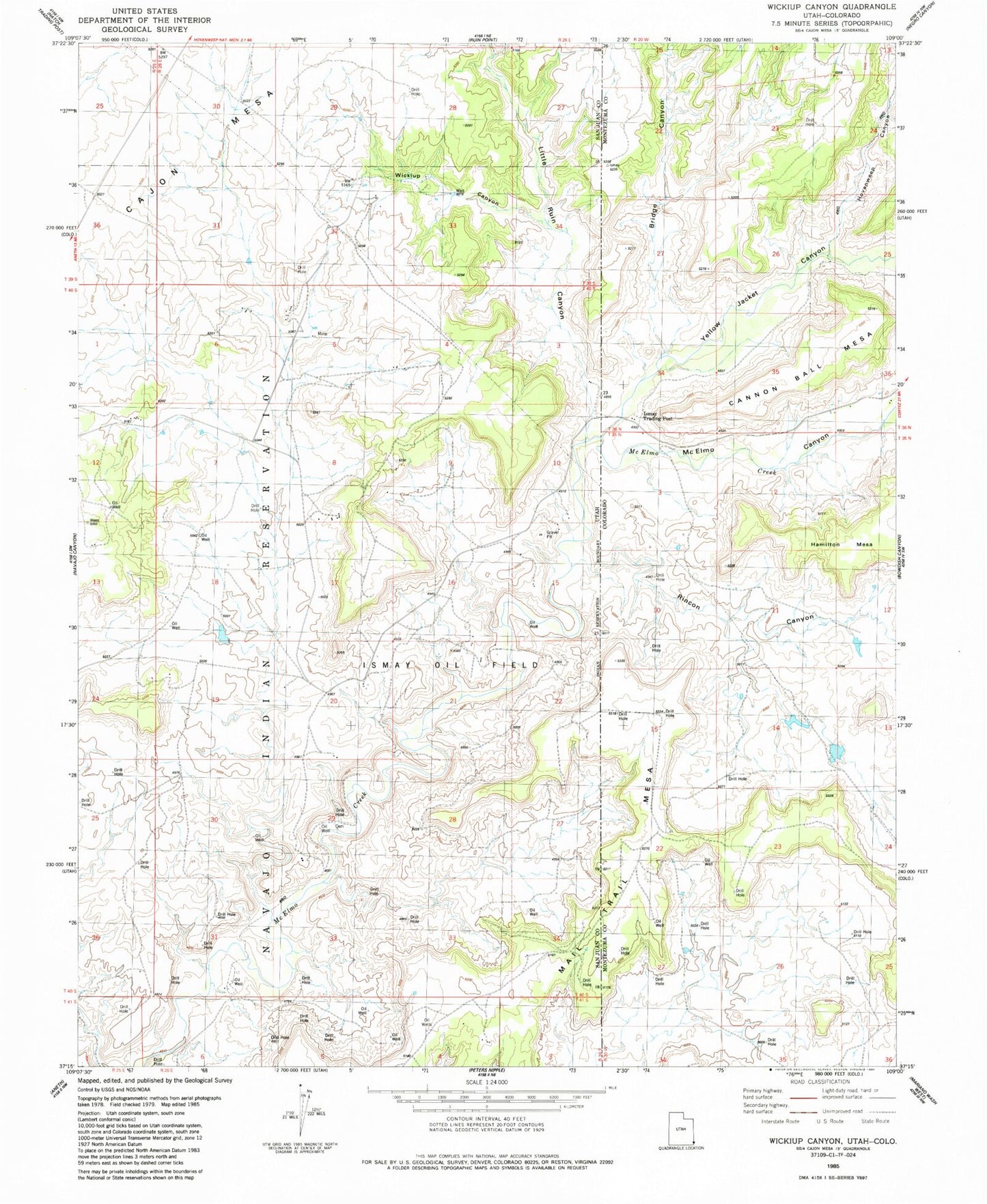
Classic USGS Wickiup Canyon Utah 7.5'x7.5' Topo Map
Regular price
$16.95
Regular price
Sale price
$16.95
Unit price
per
Couldn't load pickup availability
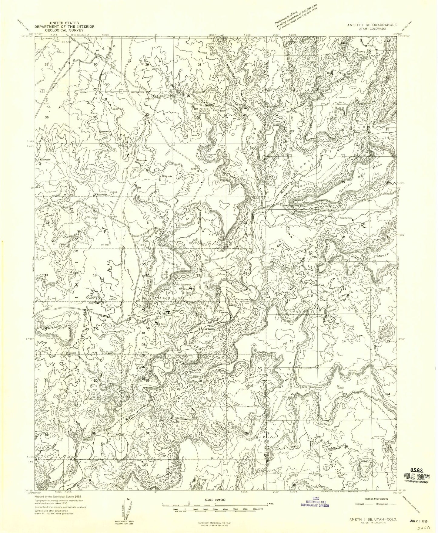
Historical USGS topographic quad map of Wickiup Canyon in the states of Utah, Colorado. Map scale may vary for some years, but is generally around 1:24,000. Print size is approximately 24" x 27"
This quadrangle is in the following counties: Montezuma, San Juan.
The map contains contour lines, roads, rivers, towns, and lakes. Printed on high-quality waterproof paper with UV fade-resistant inks, and shipped rolled.
Contains the following named places: Bridge Canyon, Cajon Mesa, Hovenweep Canyon, Ismay Oil Field, Ismay Trading Post, Keeley Canyon, Little Ruin Canyon, Mail Trail Mesa, McElmo Canyon, Rincon Canyon, Wickiup Canyon, Yellow Jacket Canyon