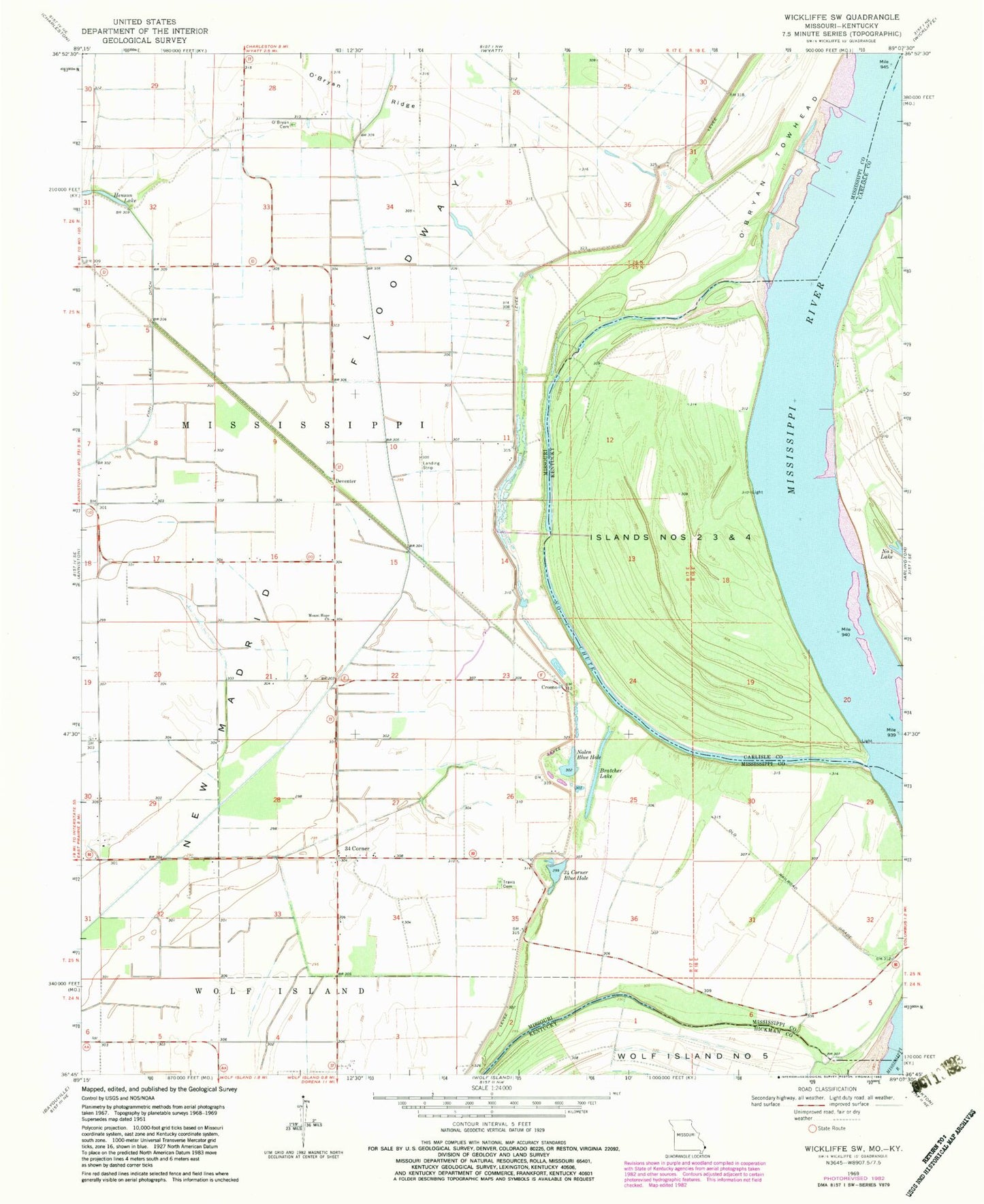
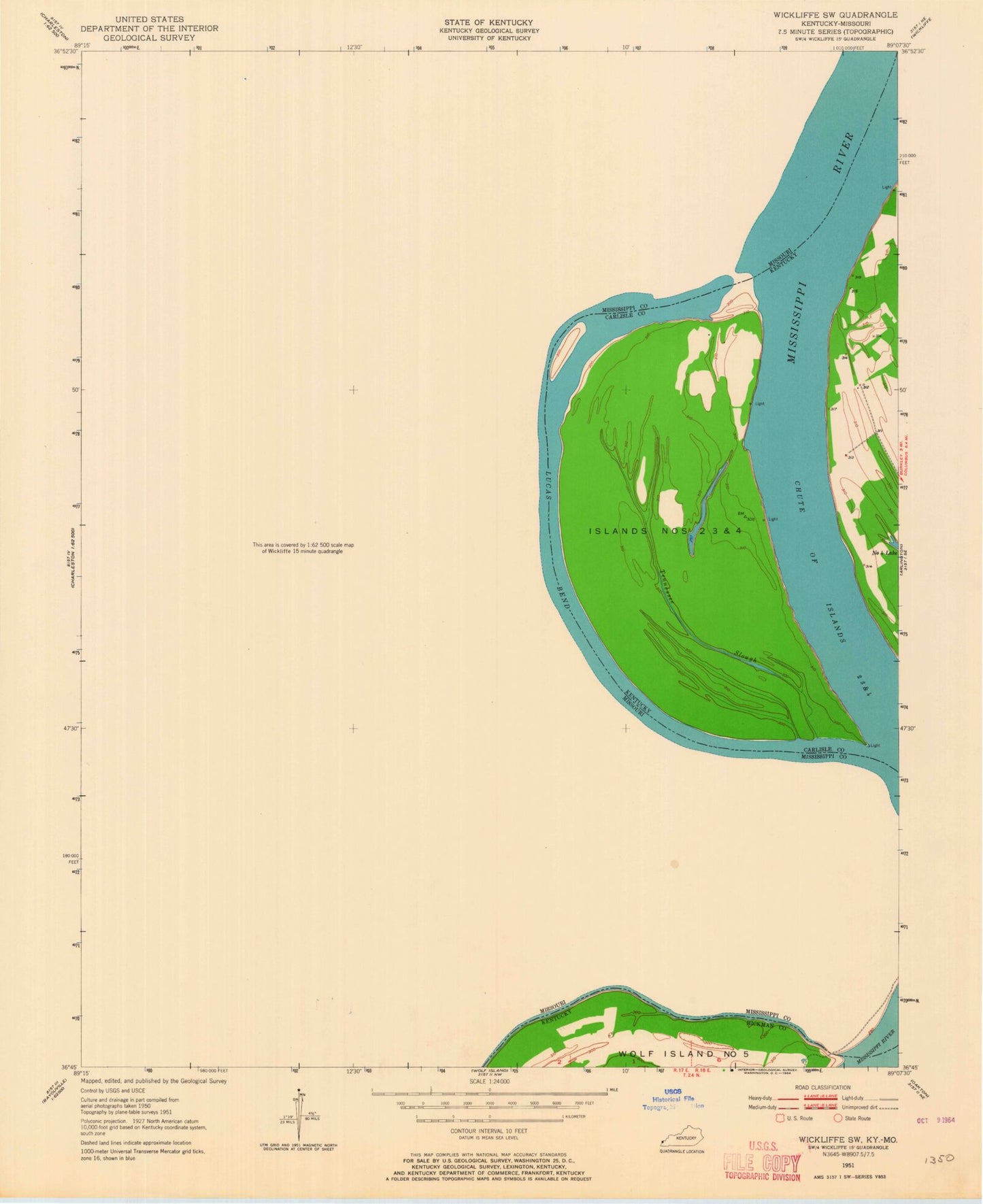
MyTopo
Classic USGS Wickliffe SW Missouri 7.5'x7.5' Topo Map
Couldn't load pickup availability
Historical USGS topographic quad map of Wickliffe SW in the states of Missouri, Kentucky. Map scale may vary for some years, but is generally around 1:24,000. Print size is approximately 24" x 27"
This quadrangle is in the following counties: Carlisle, Hickman, Mississippi.
The map contains contour lines, roads, rivers, towns, and lakes. Printed on high-quality waterproof paper with UV fade-resistant inks, and shipped rolled.
Contains the following named places: Barnell Lake, Belmont, Bratcher Lake, Cambells Landing, Crosno, Crosno School, Deventer, Deventer Church, Deventer School, Dirk Goodin School, Dirk School, Fuget, Glory Bayou, Halloway Church, Halloway School, Islands Nos 2 3 and 4, Lateral Number 1, Lateral Number 3, Lower Crosno Church, Lower Crosno School, Lucas Bend, Lucas Landing, McFadden Landing, Miller Landing, Mount Hope Church, New Madrid Floodway, Nolen Blue Hole, Number 3 Chute, O'Bryan Cemetery, O'Bryan Landing, O'Bryan Ridge, O'Bryan Towhead, Thirty Four Corner School, Thirtyfour Corner, Thirtyfour Corner Blue Hole, Township of Mississippi, Travis Cemetery