
MyTopo
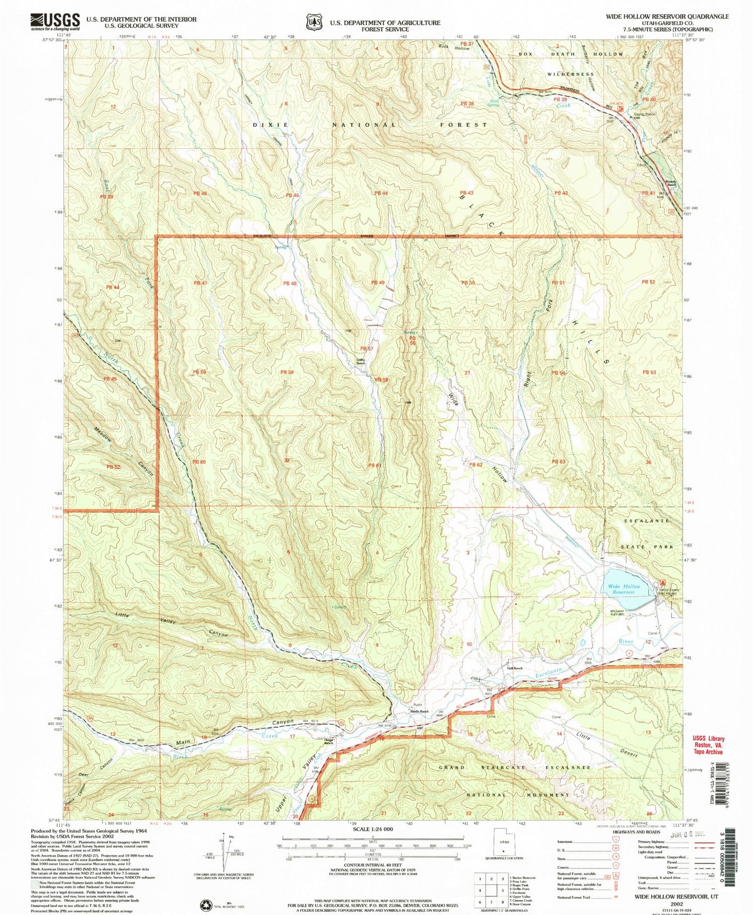
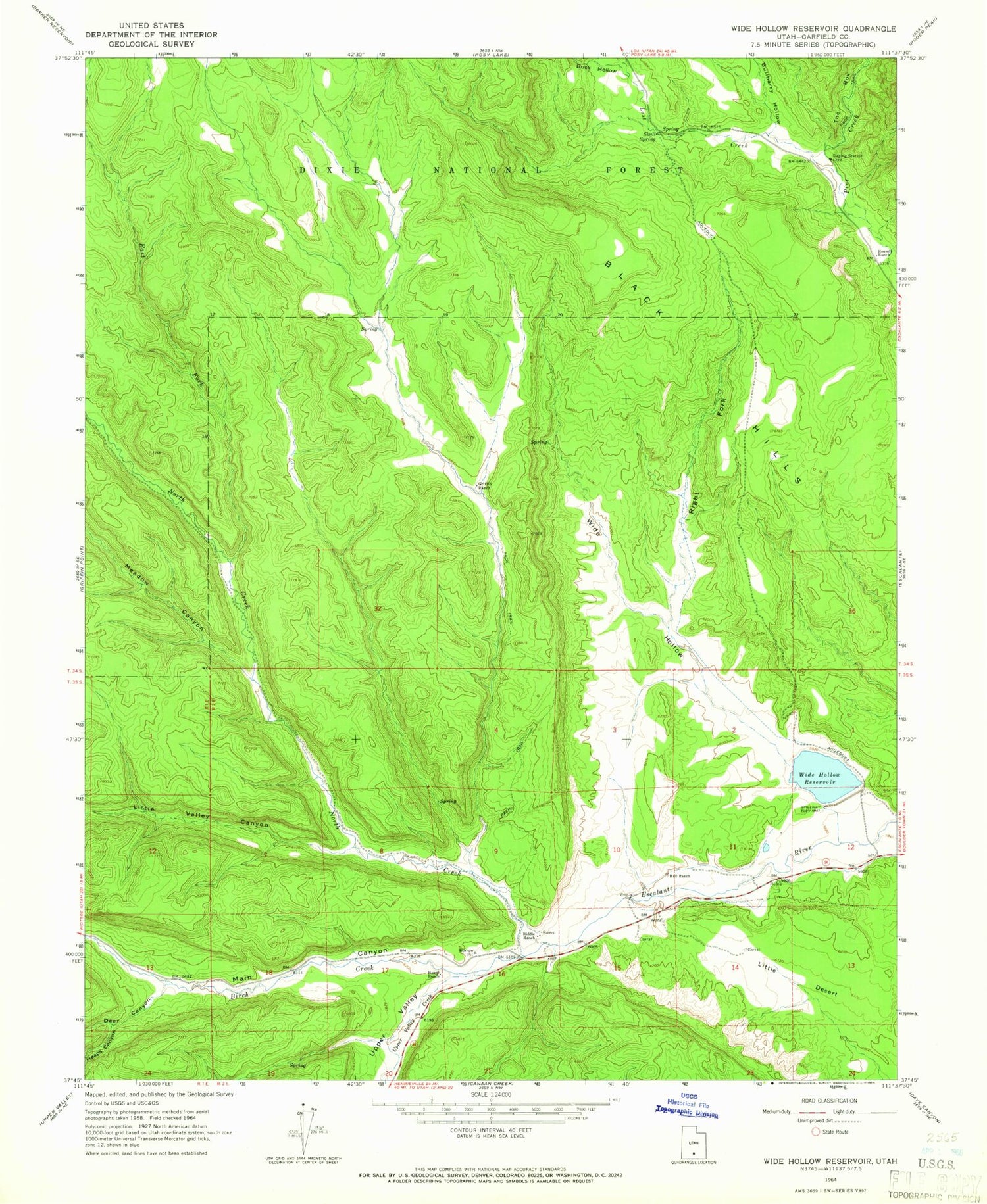
Classic USGS Wide Hollow Reservoir Utah 7.5'x7.5' Topo Map
Couldn't load pickup availability
Historical USGS topographic quad map of Wide Hollow Reservoir in the state of Utah. Map scale may vary for some years, but is generally around 1:24,000. Print size is approximately 24" x 27"
This quadrangle is in the following counties: Garfield.
The map contains contour lines, roads, rivers, towns, and lakes. Printed on high-quality waterproof paper with UV fade-resistant inks, and shipped rolled.
Contains the following named places: Birch Creek, Black Hills, Buck Hollow, Bullberry Hollow, Deer Canyon, East Fork North Creek, Escalante Petrified Forest Campground, Escalante Petrified Forest State Park, Griffin Ranch, Hall Ranch, Heaps Canyon, Heaps Ranch, Little Desert, Little Valley Canyon, Lost Creek, Main Canyon, Meadow Canyon, North Creek, Riddle Ranch, Right Fork Wide Hollow, Roundy Ranch, Skull Spring, The Box, Upper Valley, Upper Valley Creek, Wide Hollow, Wide Hollow Dam, Wide Hollow Reservoir


