MyTopo
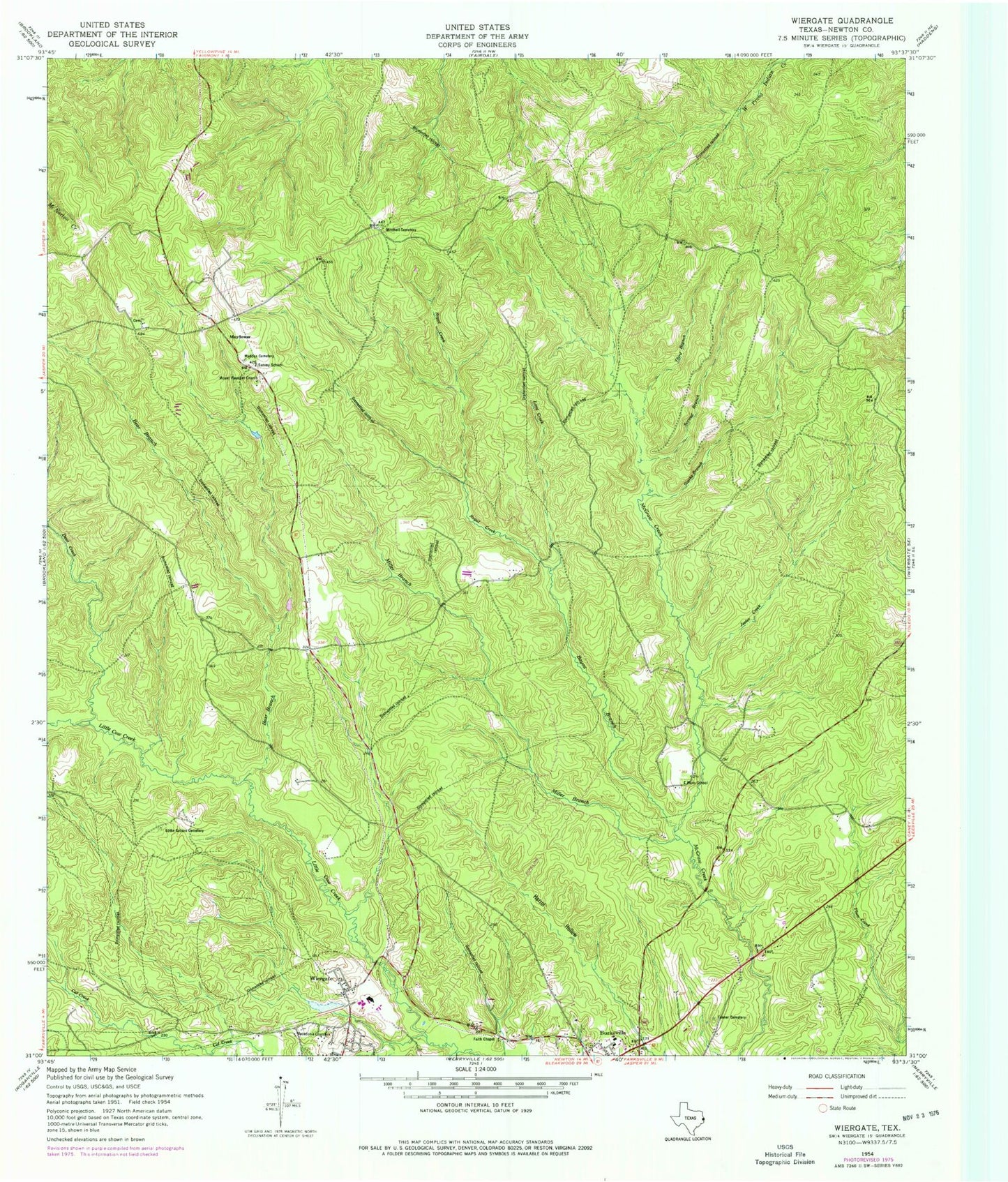
Classic USGS Wiergate Texas 7.5'x7.5' Topo Map
Couldn't load pickup availability
Historical USGS topographic quad map of Wiergate in the state of Texas. Typical map scale is 1:24,000, but may vary for certain years, if available. Print size: 24" x 27"
This quadrangle is in the following counties: Newton.
The map contains contour lines, roads, rivers, towns, and lakes. Printed on high-quality waterproof paper with UV fade-resistant inks, and shipped rolled.
Contains the following named places: Bayou Branch, Bear Branch, Deer Creek, Eddie Gatson Cemetery, Faith Chapel, Jeeter Creek, Long Creek, Macedonia Church, Mattox Cemetery, Miller Branch, Mitchell Cemetery, Mount Pleasant Church, Plum School, Royal Creek, Second Branch McGraw Creek, Starks Branch, Survey School, Tanner Cemetery, Third Branch McGraw Creek, Mayflower, Smith Lake Dam, Smith Lake, Burkeville Division, Wiergate Post Office


