MyTopo
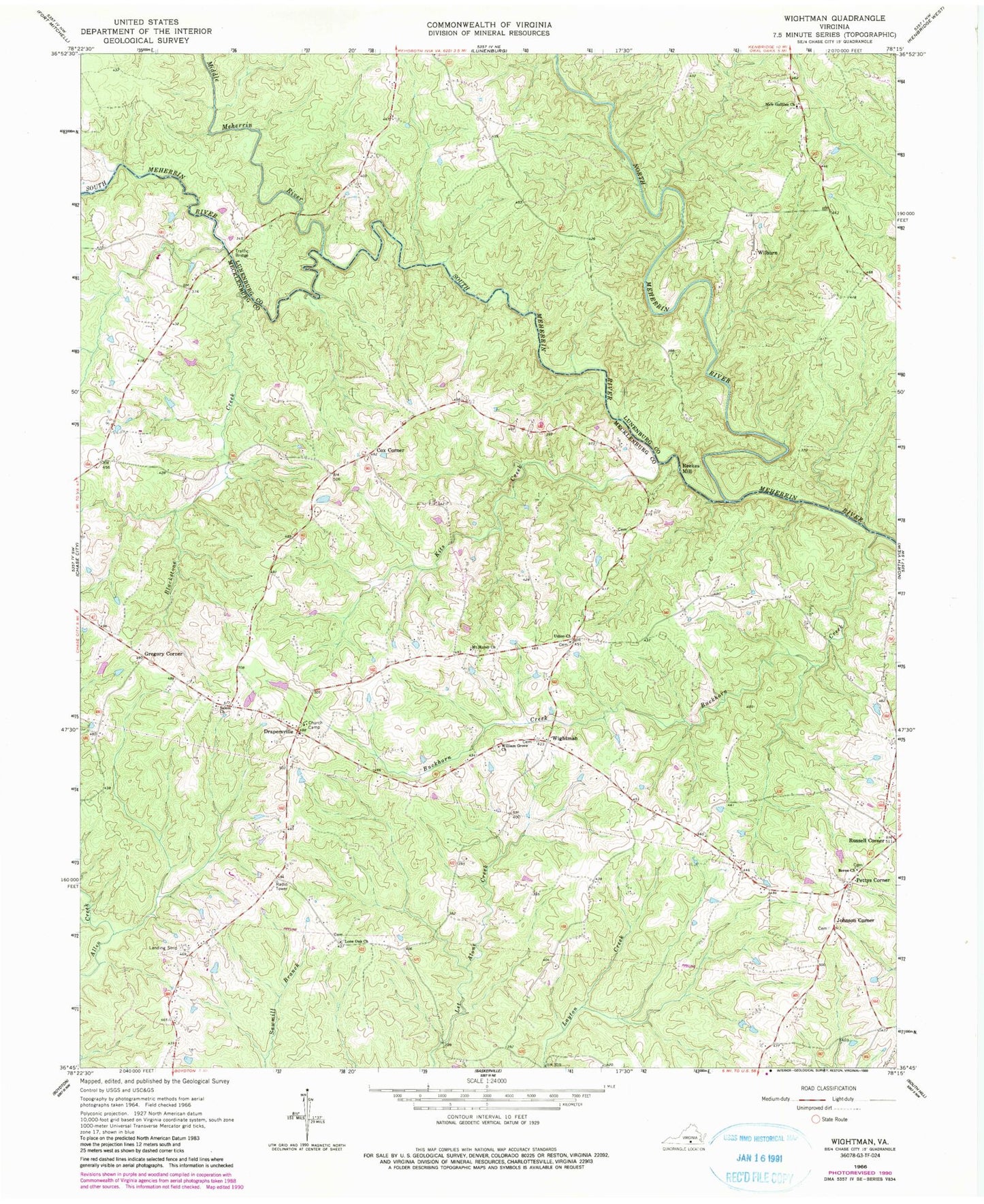
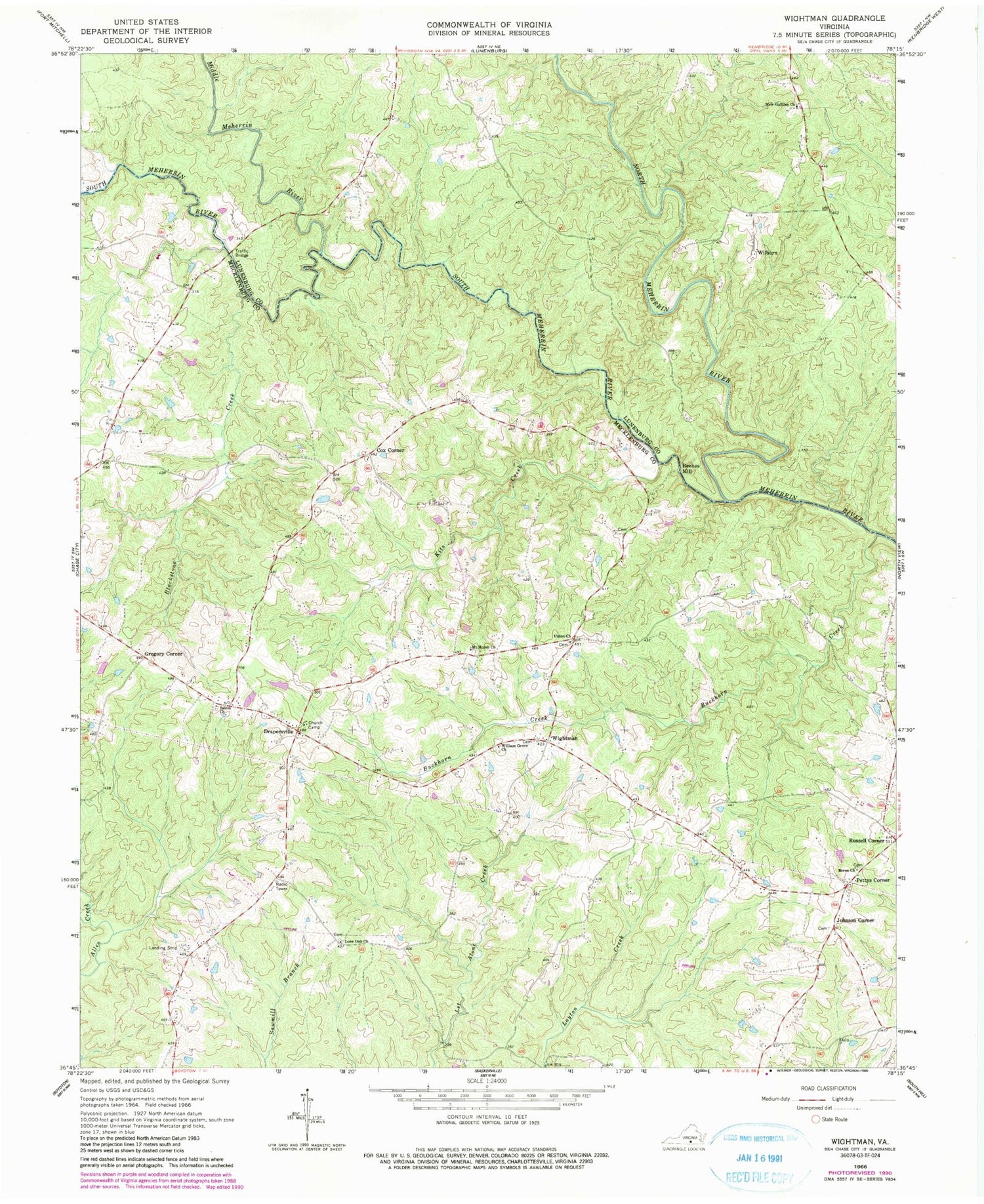
Classic USGS Wightman Virginia 7.5'x7.5' Topo Map
Couldn't load pickup availability
Historical USGS topographic quad map of Wightman in the state of Virginia. Map scale may vary for some years, but is generally around 1:24,000. Print size is approximately 24" x 27"
This quadrangle is in the following counties: Lunenburg, Mecklenburg.
The map contains contour lines, roads, rivers, towns, and lakes. Printed on high-quality waterproof paper with UV fade-resistant inks, and shipped rolled.
Contains the following named places: Berea Cemetery, Berea Church, Blackstone Creek, Buckhorn Creek, Church Camp, Cox Corner, District 7, Drapersville, Dry Creek, Gregory Corner, Johnson Cemetery, Johnson Corner, Kits Creek, Lone Oak Church, Middle Meherrin River, Mount Horeb Cemetery, Mount Horeb Church, New Galilee Church, North Meherrin River, Pettys Corner, Reekes Mill, Salem Cemetery, Salem Church, South Meherrin River, Traffic Bridge, Twin Towers Airport, Union Church, WFXQ-FM (Chase City), Wightman, Wightman School, Wilburn, William Grove Church, Yatesville


