MyTopo
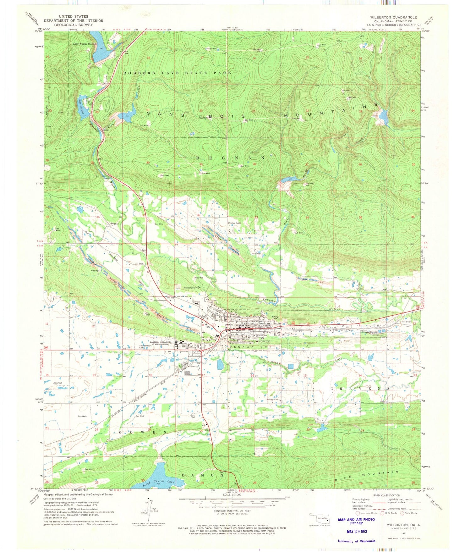
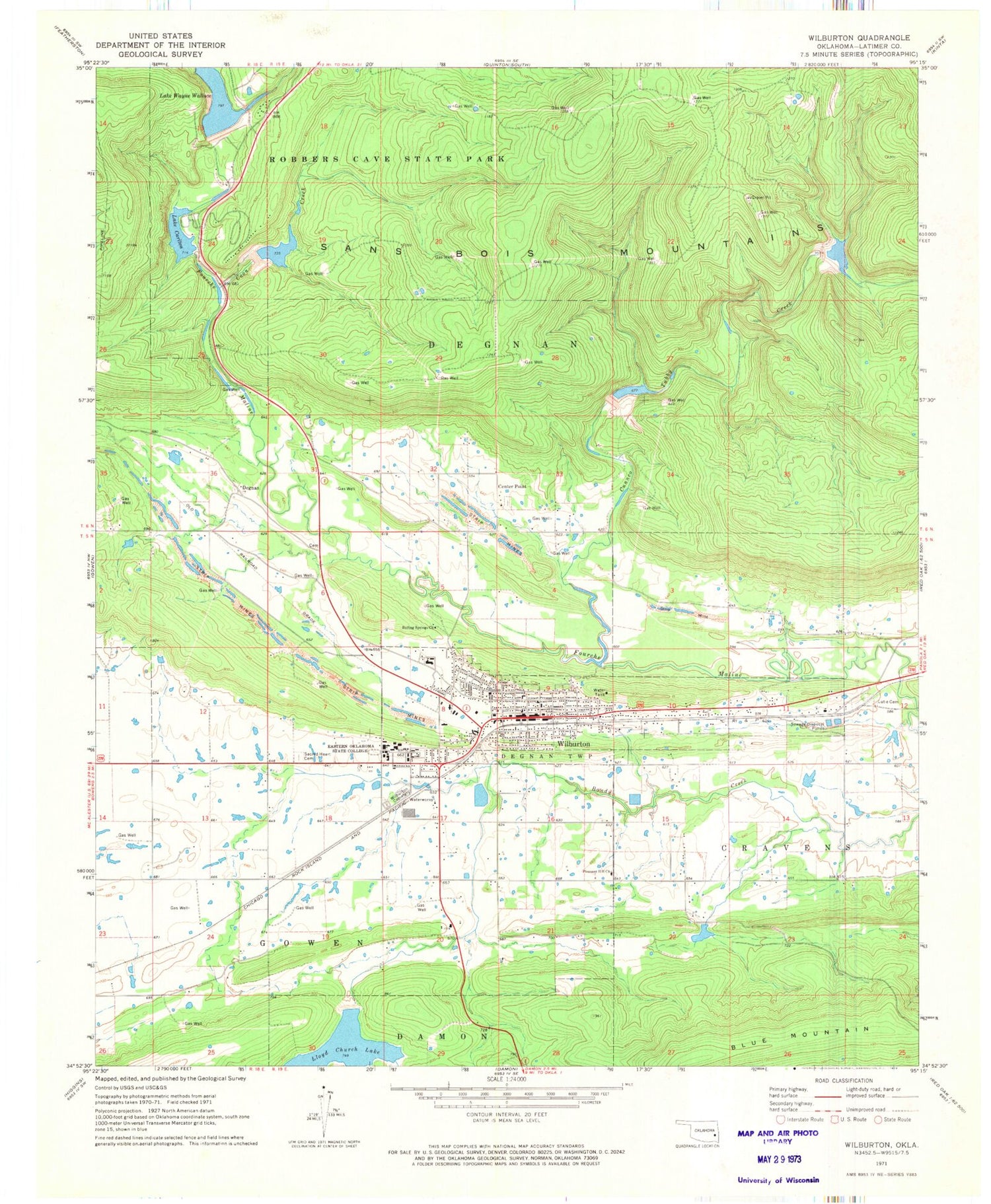
Classic USGS Wilburton Oklahoma 7.5'x7.5' Topo Map
Couldn't load pickup availability
Historical USGS topographic quad map of Wilburton in the state of Oklahoma. Typical map scale is 1:24,000, but may vary for certain years, if available. Print size: 24" x 27"
This quadrangle is in the following counties: Latimer.
The map contains contour lines, roads, rivers, towns, and lakes. Printed on high-quality waterproof paper with UV fade-resistant inks, and shipped rolled.
Contains the following named places: Boiling Springs Church, Coon Creek, Cunneo Tubby Creek, Eastern Oklahoma State College, Lloyd Church Lake, Lutie Cemetery, Pleasant Hill Church, Sacred Heart Cemetery, Lake Wayne Wallace, Wilburton, Wilburton Cemetery, Center Point, Degnan, Lutie, Latimer County, Austin Airport (historical), Fourche Maline Creek Site 2 Dam, Fourche Maline Creek Site 2 Reservoir, Fourche Maline Creek Site 3 Dam, Fourche Maline Creek Site 3 Reservoir, Fourche Maline Creek Site 4 Dam, Fourche Maline Creek Site 4 Reservoir, Fourche Maline Creek Site 7 Dam, Fourche Maline Creek Site 7 Reservoir, Fourche Maline Creek Site 8 Dam, Fourche Maline Creek Site 8 Reservoir, Fourche Maline Creek Site 5 Dam, Fourche Maline Creek Site 5 Reservoir, Carlton Dam, Lake Carlton, Oknoname 077004 Dam, Oknoname 077004 Reservoir, Oknoname 077005 Dam, Oknoname 077005 Reservoir, First Baptist Church, New Life Restoration Church, Seventh Day Adventist Church, Wilburton Post Office, Kiamichi Area Vocational College, Wilburton Middle School, Wilburton Elementary School, Wilburton Adventist Elementary School, Township of Degnan, Township of Cravens, City of Wilburton, County District 6, Wilburton Fire Department, Oklahoma Forestry Wilburton, Parks Airport, Latimer County General Hospital, Southwest Emergency Medical Services Wilburton Substation, Centerpoint Cemetery, Degnan Cemetery, Masonic Cemetery, Patterson Cemetery, Wilburton High School, Wilburton Police Department, Latimer County Sheriff's Office, Latimer County Jail, Degnan North West Cemetery


