MyTopo
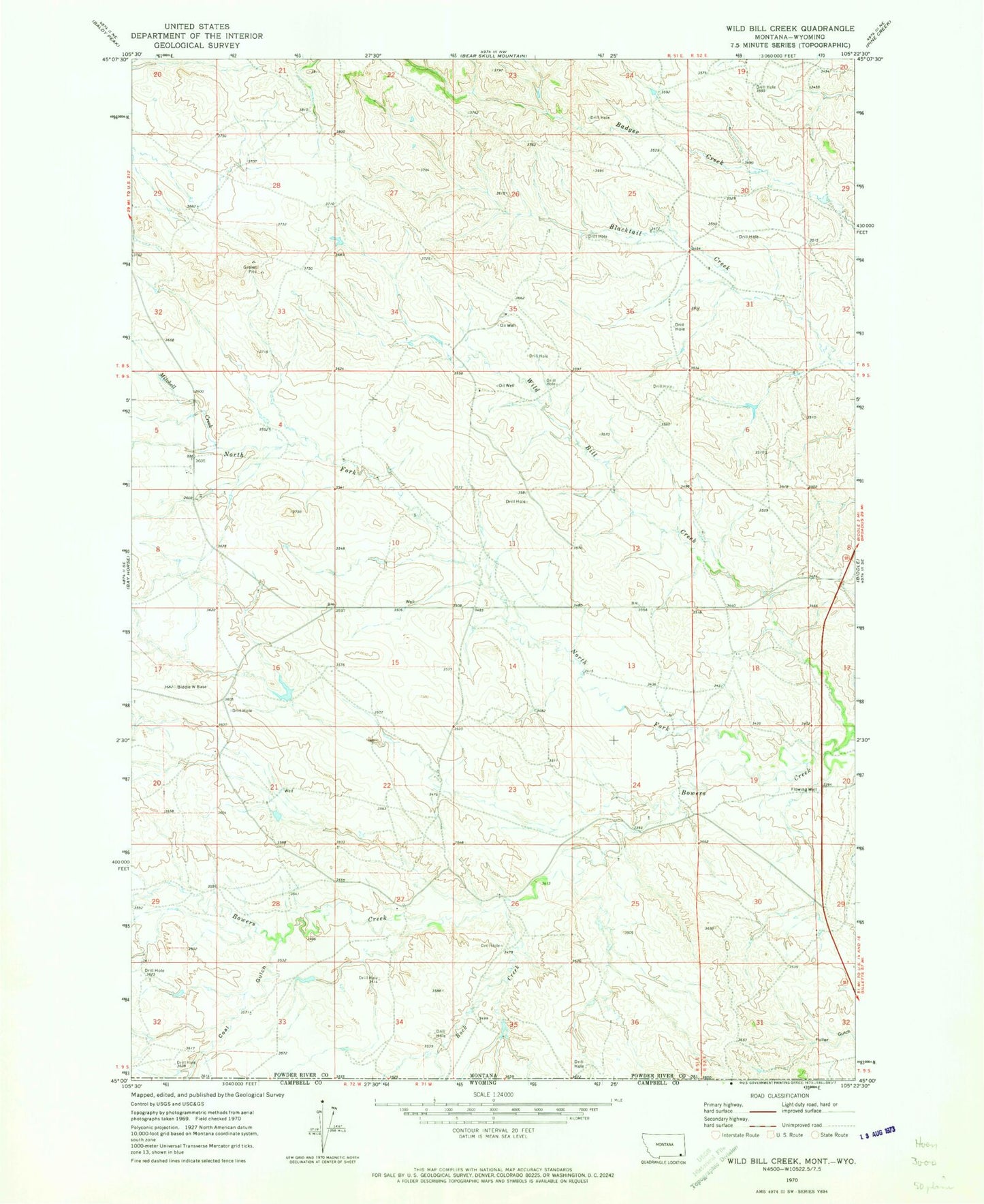
Classic USGS Wild Bill Creek Montana 7.5'x7.5' Topo Map
Couldn't load pickup availability
Historical USGS topographic quad map of Wild Bill Creek in the state of Montana. Map scale may vary for some years, but is generally around 1:24,000. Print size is approximately 24" x 27"
This quadrangle is in the following counties: Campbell, Powder River.
The map contains contour lines, roads, rivers, towns, and lakes. Printed on high-quality waterproof paper with UV fade-resistant inks, and shipped rolled.
Contains the following named places: 05S51E35CA__01 Well, 09S51E20AADD01 Well, 09S51E21DBBB01 Well, 09S51E22AD__01 Well, 09S51E22ADDB01 Well, 09S52E18BDBD01 Well, 09S52E21CADB01 Well, Allison Creek, Bowers Number 1 Dam, Coal Gulch, Little Bowers Creek, Mitchell Creek, North Fork Bowers Creek, Rock Creek