MyTopo
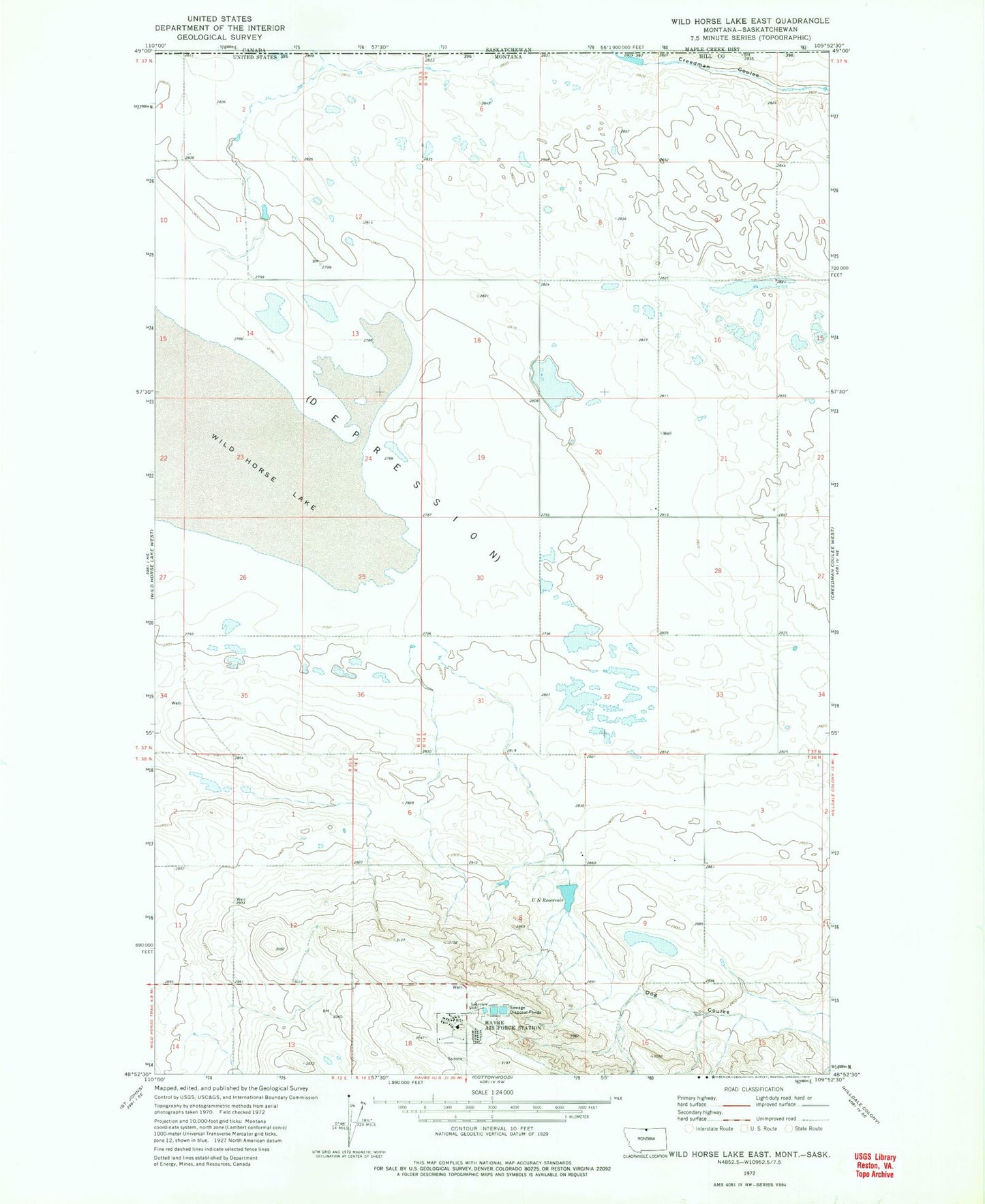
Classic USGS Wild Horse Lake East Montana 7.5'x7.5' Topo Map
Regular price
$16.95
Regular price
Sale price
$16.95
Unit price
per
Couldn't load pickup availability
Historical USGS topographic quad map of Wild Horse Lake East in the state of Montana. Map scale may vary for some years, but is generally around 1:24,000. Print size is approximately 24" x 27"
This quadrangle is in the following counties: Hill.
The map contains contour lines, roads, rivers, towns, and lakes. Printed on high-quality waterproof paper with UV fade-resistant inks, and shipped rolled.
Contains the following named places: 37N14E20DDDA01 Well, 37N14E20DDDD01 Well, Brown Paper Bag Dam, Havre Air Force Station, Lakeview School, U N Reservoir, U N Reservoir Dam