MyTopo
Classic USGS Wild Horse Lake Montana 7.5'x7.5' Topo Map
Couldn't load pickup availability
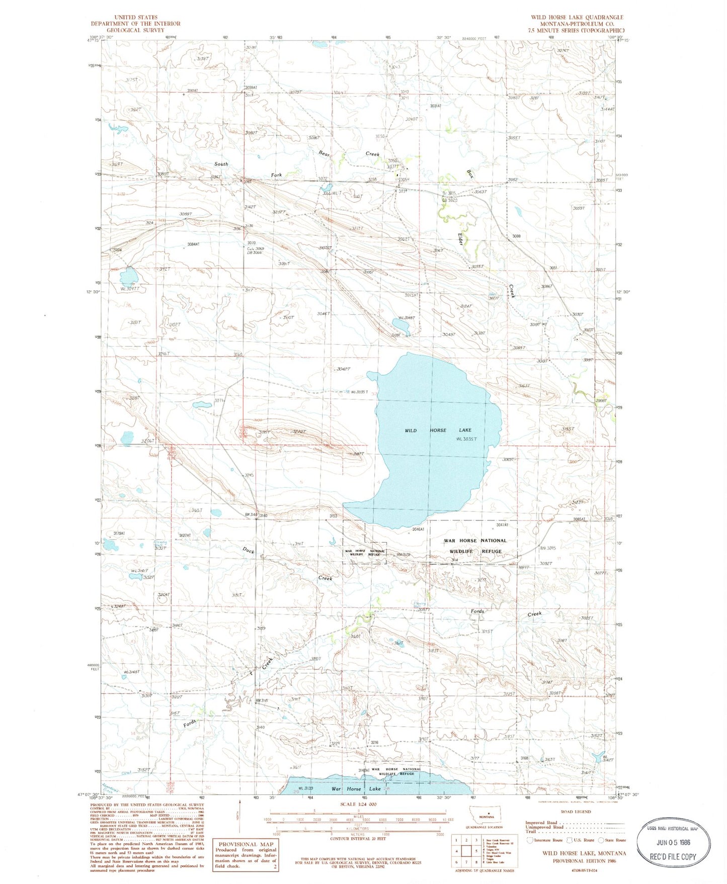
Historical USGS topographic quad map of Wild Horse Lake in the state of Montana. Map scale may vary for some years, but is generally around 1:24,000. Print size is approximately 24" x 27"
This quadrangle is in the following counties: Petroleum.
The map contains contour lines, roads, rivers, towns, and lakes. Printed on high-quality waterproof paper with UV fade-resistant inks, and shipped rolled.
Contains the following named places: 15N25E04CCD_01 Well, 16N25E01BAA_01 Well, 16N25E09DDD_01 Well, 16N25E18DDD_01 Well, 16N25E20BAC_01 Well, 16N25E20BAC_02 Well, Beedie School, Davis School, Duck Creek, Duck Creek School, Skibby School, South Fork Bear Creek, Staff Post Office, Staff School, Sunnyside School, Warhorse West Dike, Wild Horse Lake