MyTopo
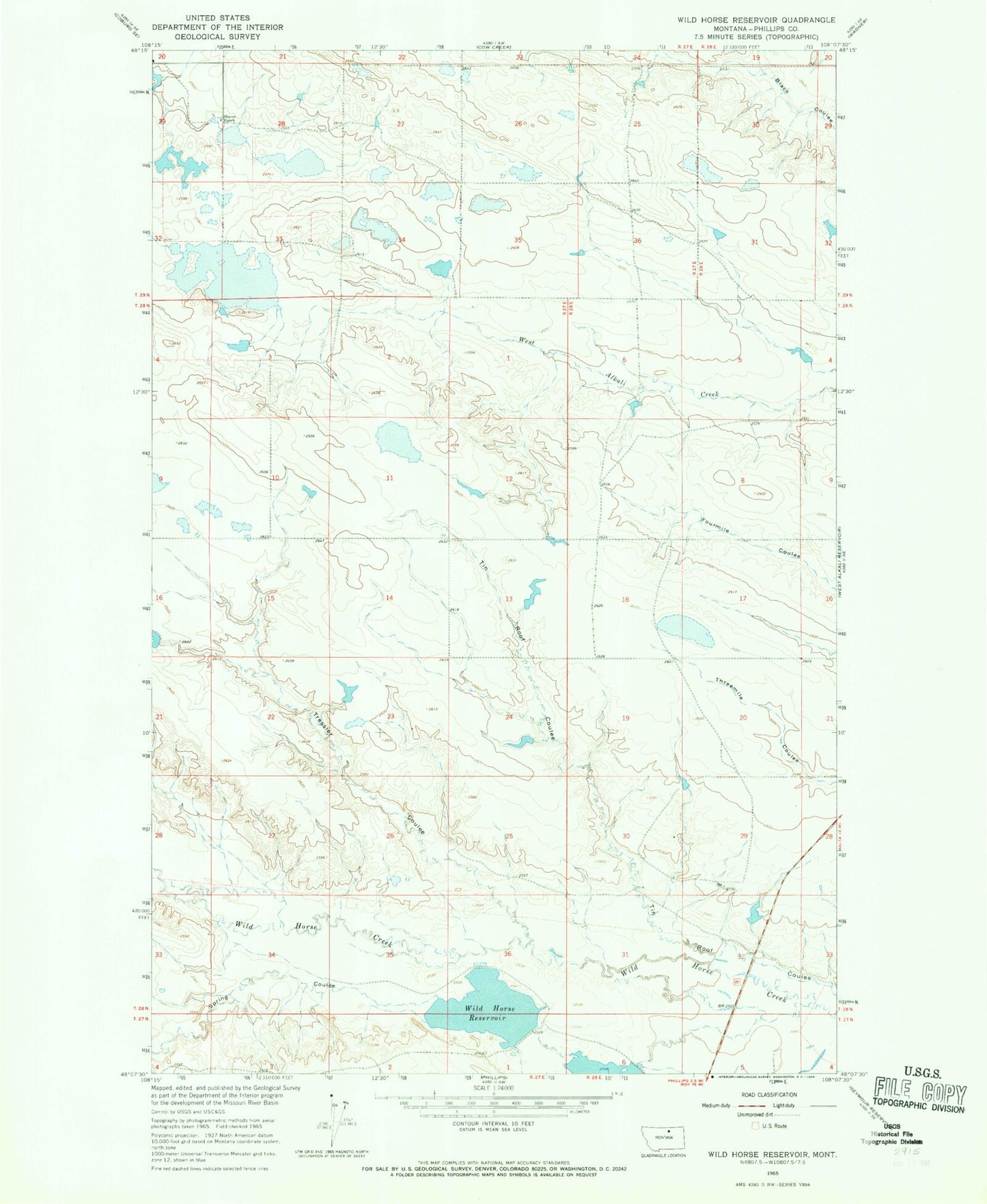
Classic USGS Wild Horse Reservoir Montana 7.5'x7.5' Topo Map
Couldn't load pickup availability
Historical USGS topographic quad map of Wild Horse Reservoir in the state of Montana. Map scale may vary for some years, but is generally around 1:24,000. Print size is approximately 24" x 27"
This quadrangle is in the following counties: Phillips.
The map contains contour lines, roads, rivers, towns, and lakes. Printed on high-quality waterproof paper with UV fade-resistant inks, and shipped rolled.
Contains the following named places: MRCLA Number 3 Dam, Rustle School, Sambo Number 1 Dam, Schoolhouse Number 4 Dam, Schoolhouse Number 5 Dam, Schoolhouse Number 6 Dam, Schoolhouse Number 7 Dam, Shaver Ranch, Spring Coulee, Sunny Hillside School, Tin Roof Coulee, Tressler Coulee, Wild Horse Reservoir, Wild Horse Reservoir Dam