MyTopo
Classic USGS Wild River New Hampshire 7.5'x7.5' Topo Map
Couldn't load pickup availability
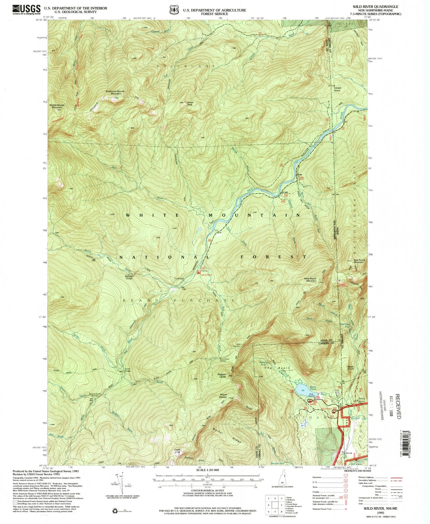
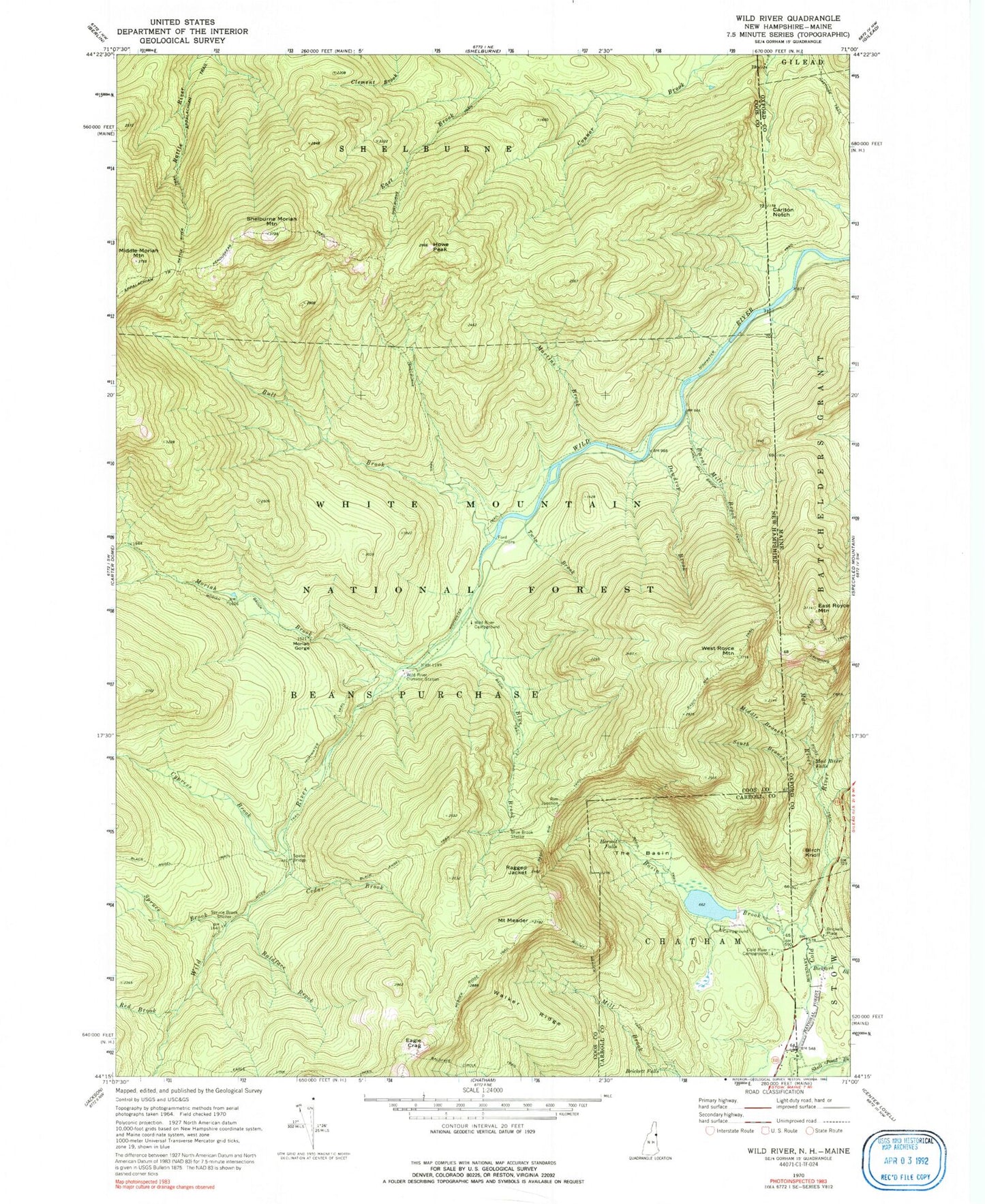
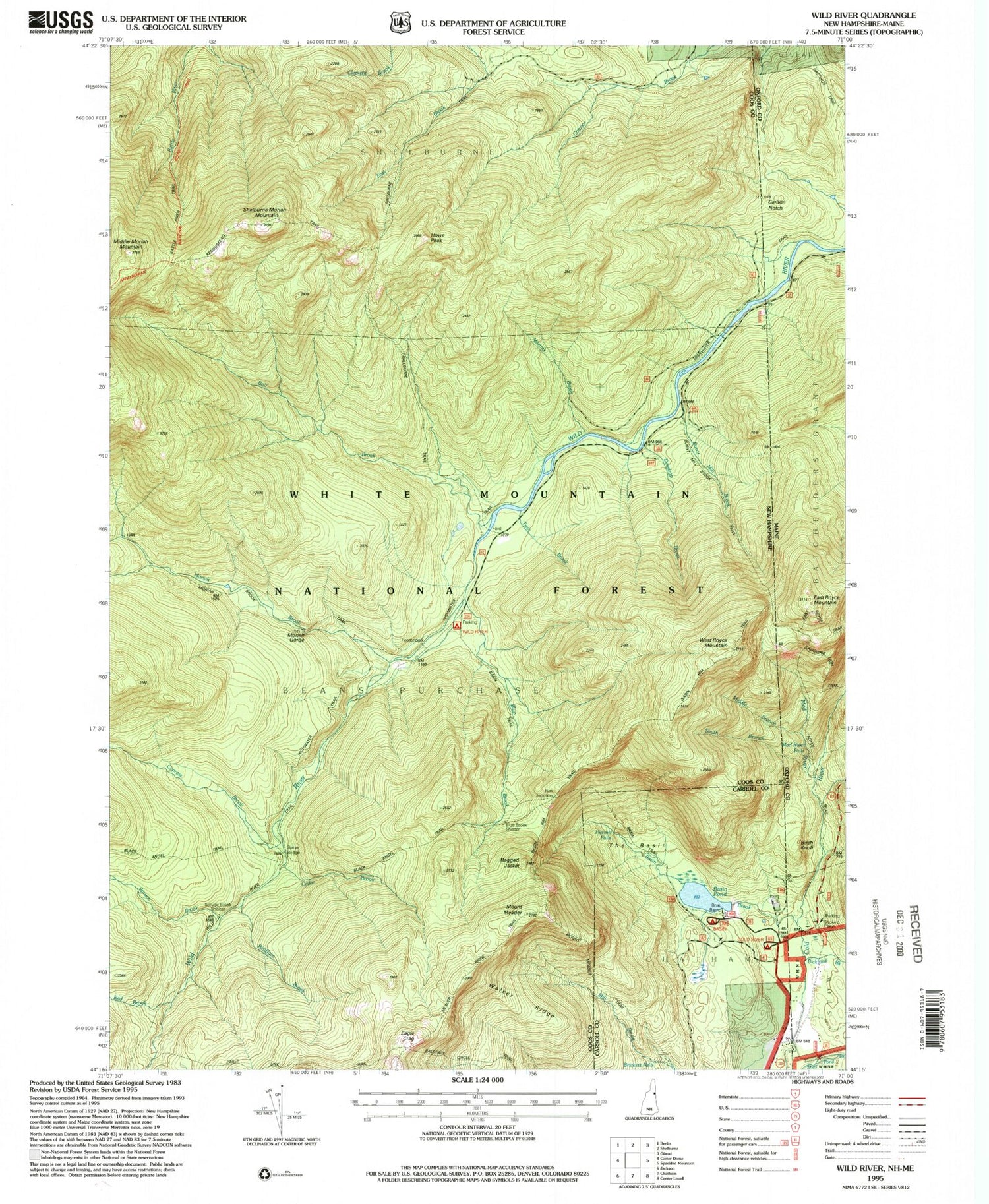
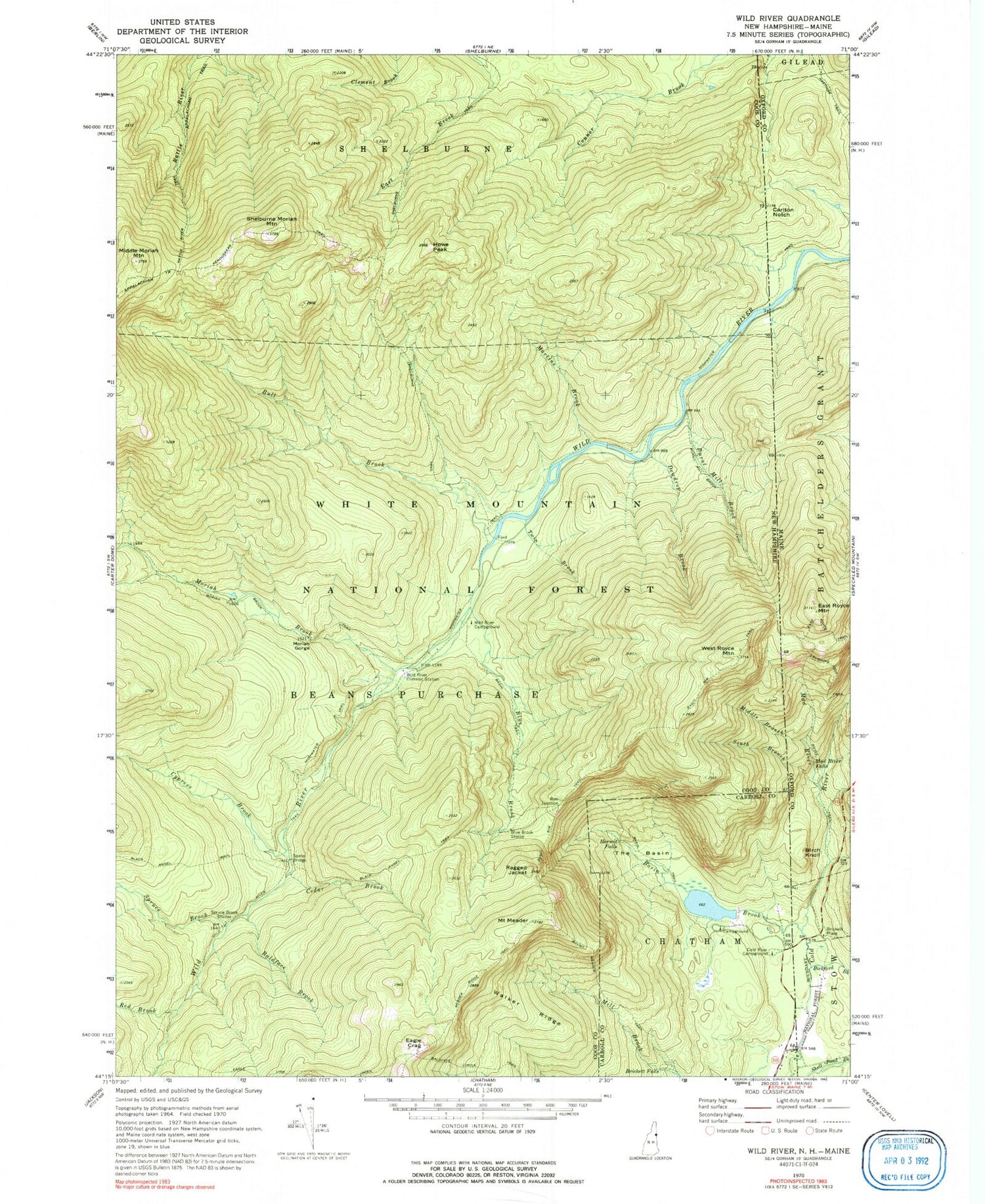
Historical USGS topographic quad map of Wild River in the states of New Hampshire, Maine. Typical map scale is 1:24,000, but may vary for certain years, if available. Print size: 24" x 27"
This quadrangle is in the following counties: Carroll, Coos, Oxford.
The map contains contour lines, roads, rivers, towns, and lakes. Printed on high-quality waterproof paper with UV fade-resistant inks, and shipped rolled.
Contains the following named places: Baldface Brook, Baldface Circle Trail, Basin Rim Trail, Basin Trail, Beans Purchase, Blue Brook, Blue Brook Shelter, Brickett Falls, Bull Brook, Burnt Mill Brook, Burnt Mill Brook Trail, Cedar Brook, Cold River Campground, Cypress Brook, Dewdrop Brook, Eagle Crag, Eagle Link Trail, Hermit Falls, Highwater Trail, Howe Peak, Kenduskeag Trail, Martins Brook, Mount Meader, Middle Moriah Mountain, Moriah Brook, Moriah Brook Trail, Moriah George, Mount Meader Trail, Ragged Jacket, Rattle River Trail, Red Brook, Rim Junction, Shelburne Moriah Mountain, Shelburne Trail, Spider Bridge, Spruce Brook, The Basin, Twin Brook, Walker Ridge, West Royce Mountain, Wild River Campground, Wild River Trail, Pine Brook, Spruce Brook Shelter, Meader Ridger Trail, Brickett Place Organization Camp, Basin Campground and Picnic Area, Wild River Climatic Station, Site 1 Basin Brook Dam, Basin Brook Reservoir, Basin Pond Campground, Wild River Wilderness, Basin Brook, Bickford Brook, Birch Knoll, Brickett Place, Carlton Notch, East Royce Mountain, East Royce Trail, Highwater Trail, Laughing Lion Trail, Mad River, Mad River Falls, Middle Branch Mad River, Royce Trail, South Branch Mad River


