MyTopo
Classic USGS Wild Rose Wisconsin 7.5'x7.5' Topo Map
Couldn't load pickup availability
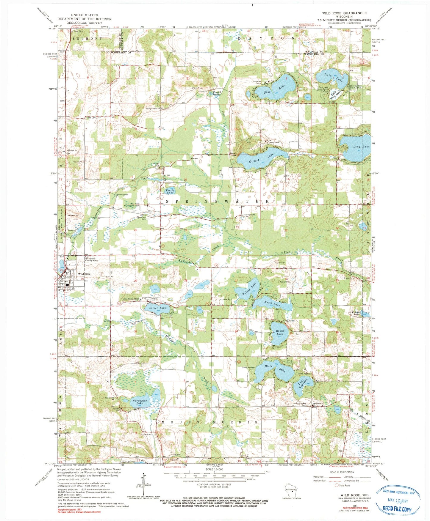
Historical USGS topographic quad map of Wild Rose in the state of Wisconsin. Typical map scale is 1:24,000, but may vary for certain years, if available. Print size: 24" x 27"
This quadrangle is in the following counties: Portage, Waupaca, Waushara.
The map contains contour lines, roads, rivers, towns, and lakes. Printed on high-quality waterproof paper with UV fade-resistant inks, and shipped rolled.
Contains the following named places: Camp Hiwela, Camp Napowan, Camp Talaki, Camp Windego, Greenvale Cemetery, Fenrich Springs, Caersalem Cemetery, Gilbert Lake, Hills Lake, Howes Corners Cemetery, Immanuel Church, Kaminski Creek, Kusel Lake, Ravine Cemetery, Little Mission Chapel, Little Twin Lake, Lutheran Camp, Lake Napowan, Norwegian Lake, Pine Lake, Pretty Lake, Round Lake, Shin-Go-Beek Scout Camp, Silver Lake, Springwater Cemetery, Springwater Cemetery, Springwater Nursing Home, Timan Lake, Twin Lake, Twin Lake Scout Camp, Wild Rose, Wild Rose Pond, Wilson Lake, Davies Creek, Humphrey Creek, Wild Rose Idlewild Airport, Town of Springwater, Village of Wild Rose, Wild Rose WP117 Dam, Wild Rose Baptist Church, Wild Rose Middle / High School, Wild Rose Presbyterian Church, Bonneville Lake, Karner Blue Meadow State Natural Area, ThedaCare Medical Center - Wild Rose, Wild Rose Elementary School, Wild Rose Police Department, Brownlow Lake, Echo Lake, Lost Lake, Mud Lake


