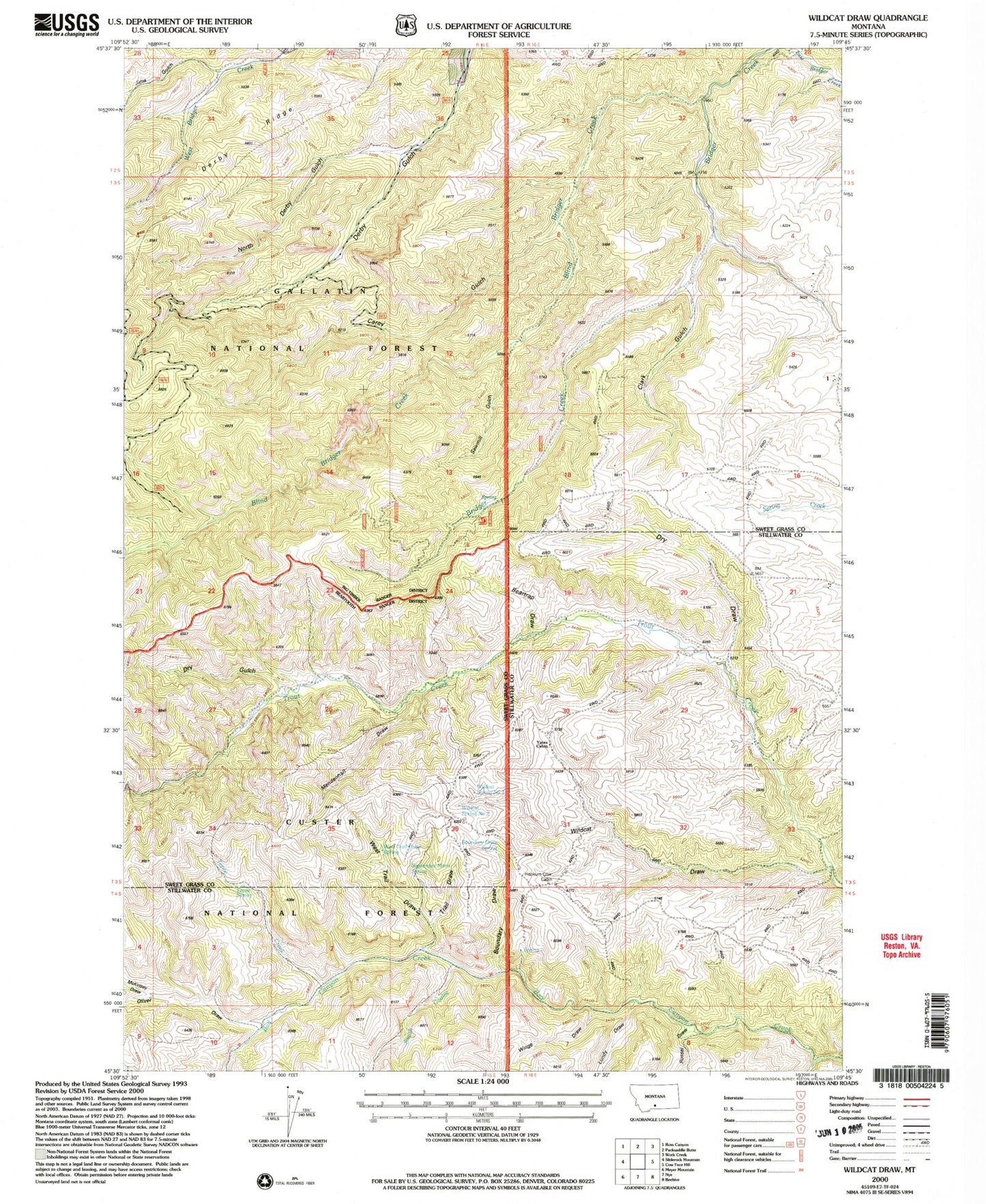
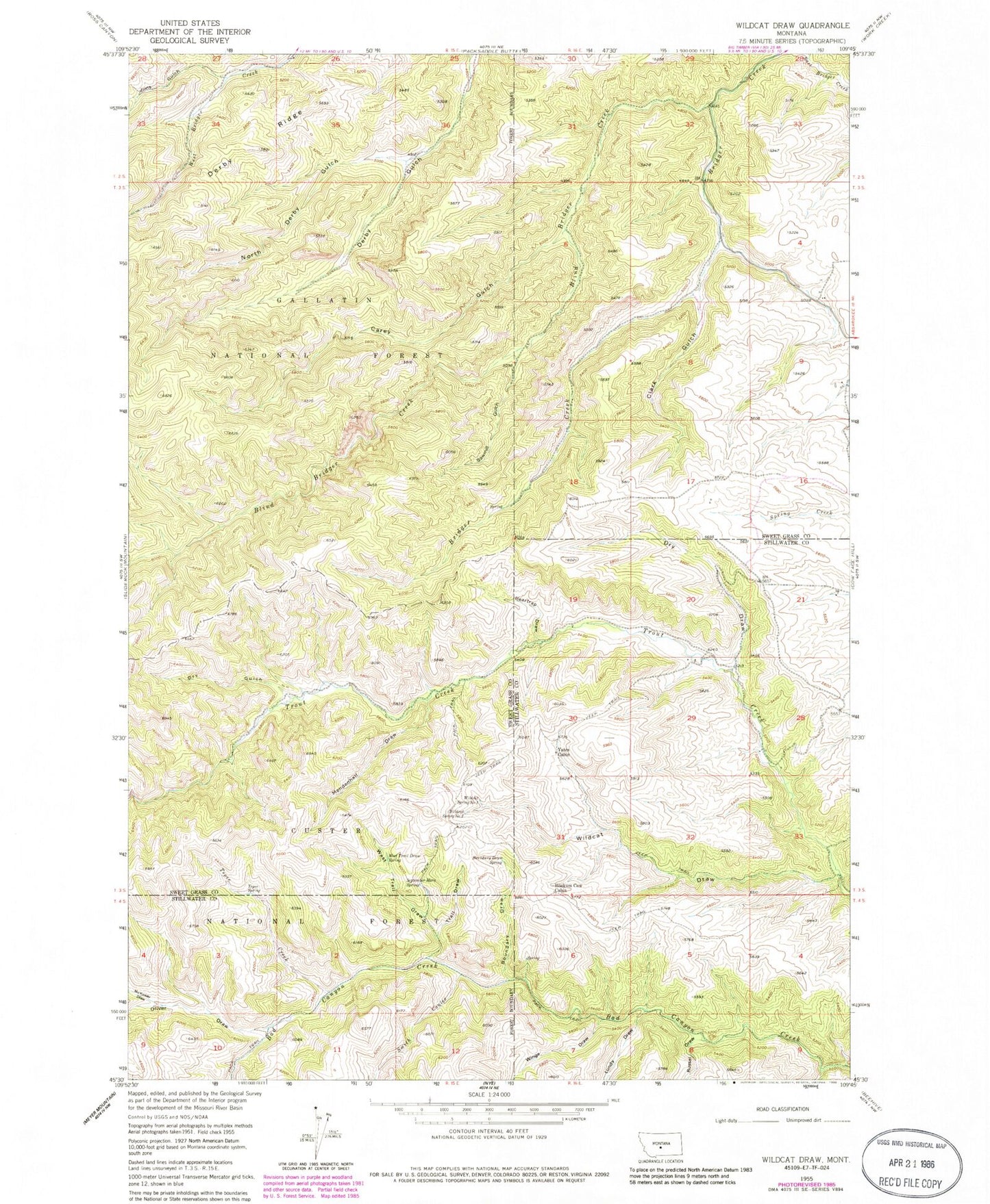
MyTopo
Classic USGS Wildcat Draw Montana 7.5'x7.5' Topo Map
Couldn't load pickup availability
Historical USGS topographic quad map of Wildcat Draw in the state of Montana. Typical map scale is 1:24,000, but may vary for certain years, if available. Print size: 24" x 27"
This quadrangle is in the following counties: Stillwater, Sweet Grass.
The map contains contour lines, roads, rivers, towns, and lakes. Printed on high-quality waterproof paper with UV fade-resistant inks, and shipped rolled.
Contains the following named places: Beartrap Draw, Blind Bridger Creek, Boundary Draw, Boundary Draw Spring, Carey Gulch, Clark Gulch, Dry Draw, Dry Gulch, Hookum Cow Cabin, Jims Gulch, McKinsey Draw, Mendenhall Draw, North Derby Gulch, Oliver Draw, Sawmill Gulch, September Morn Spring, Smith Coulee, Tepee Creek, Tepee Spring, Trail Draw, West Trail Draw, West Trail Draw Spring, White Draw, Wildcat Draw, Wildcat Spring Number One, Wildcat Spring Number Two, Winge Draw, Yates Cabin, Lundy Draw, White Spring, Porcupine Spring, McKinsey Spring, Russel Draw, Long Draw, 03S16E09DACC01 Well