MyTopo
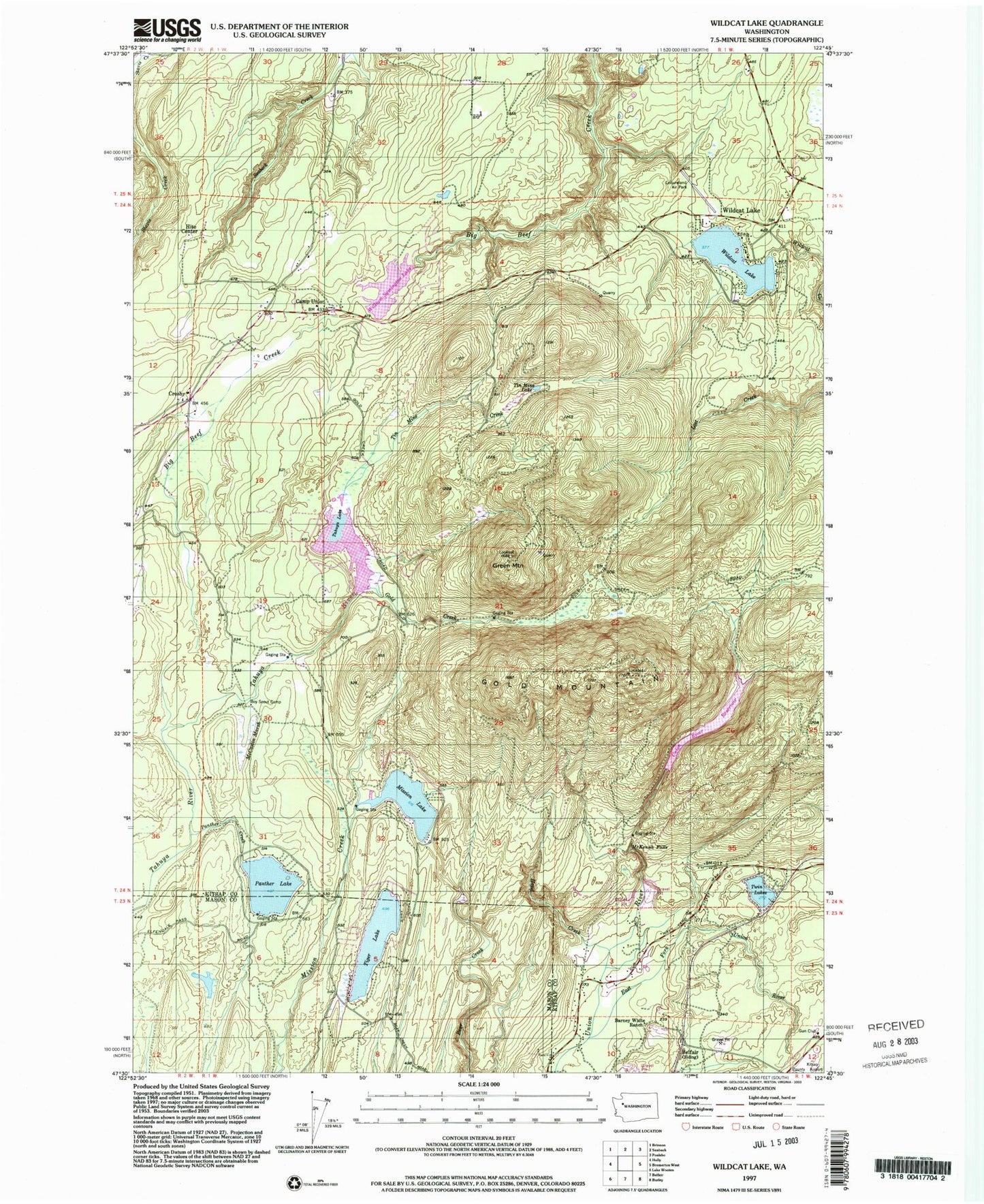
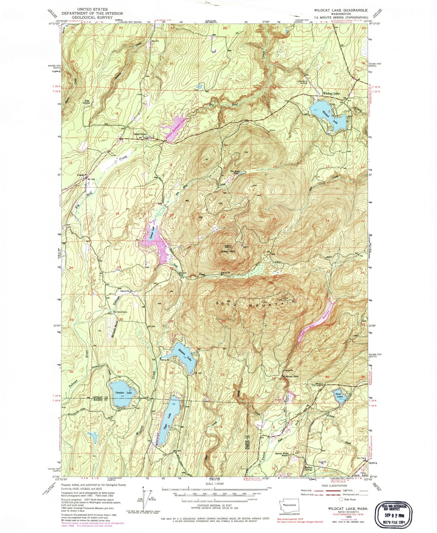
Classic USGS Wildcat Lake Washington 7.5'x7.5' Topo Map
Couldn't load pickup availability
Historical USGS topographic quad map of Wildcat Lake in the state of Washington. Typical map scale is 1:24,000, but may vary for certain years, if available. Print size: 24" x 27"
This quadrangle is in the following counties: Kitsap, Mason.
The map contains contour lines, roads, rivers, towns, and lakes. Printed on high-quality waterproof paper with UV fade-resistant inks, and shipped rolled.
Contains the following named places: Barney White Ranch, Belfair, Camp Union, Crosby, East Fork Union River, Gold Creek, Gold Mountain, Green Mountain, Hazel Creek, Hite Center, McCaslin Marsh, McKenna Falls, Mission Lake, Panther Creek, Panther Lake, Stavis Creek, Tiger Lake, Tin Mine Creek, Tin Mine Lake, Twin Lakes, Wildcat Lake, Wildcat Lake, Lake William Symington, Great Peninsula, Gold Mountain Lookout, Green Mountain Lookout, Olympic View Industrial Park, Sprague Pond, Wildcat Acres, Casad Dam, Union River Reservoir, Tahuya River Dam, Tahuya Lake, Lewis Dam, William Symington Dam, Leisureland Airpark, KTBW-TV (Tacoma), KCPQ-TV (Tacoma), Bremerton Division, Olympic View Sanitary Landfill, Wildcat Quarry, Alpine Evergreen Quarry, Port of Bremerton Quarry, Seven Beavers Quarry, Evergreen Lutheran Preschool, Green Mountain Elementary School, Seabeck Post Office, Gold Mountain Golf Club, Christian Worship Center, Crosby Chapel, Evergreen Lutheran Church, Olympic View Landfill Leachate Lagoon, Central Kitsap Fire and Rescue Station 56 Seabeck / Nicholas, Central Kitsap Fire and Rescue Station 65 - Wildcat Lake, Central Kitsap Fire and Rescue Station 55 - Lake Tahuyeh, North Mason Regional Fire Authority Station 24


