MyTopo
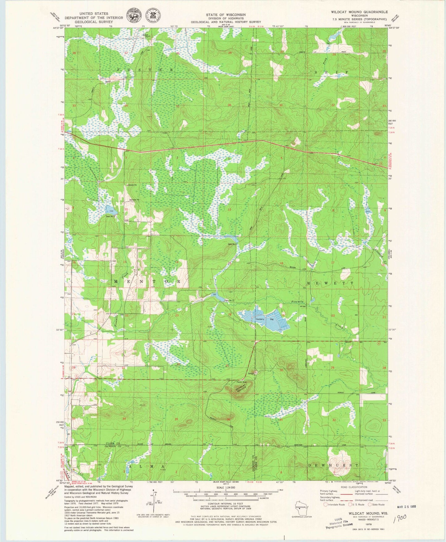
Classic USGS Wildcat Mound Wisconsin 7.5'x7.5' Topo Map
Regular price
$16.95
Regular price
Sale price
$16.95
Unit price
per
Couldn't load pickup availability
Historical USGS topographic quad map of Wildcat Mound in the state of Wisconsin. Map scale may vary for some years, but is generally around 1:24,000. Print size is approximately 24" x 27"
This quadrangle is in the following counties: Clark, Jackson.
The map contains contour lines, roads, rivers, towns, and lakes. Printed on high-quality waterproof paper with UV fade-resistant inks, and shipped rolled.
Contains the following named places: Clark County 1 Dam, Clark County 5 2WP202 Dam, Dam Number Five, Dam Number Three, Dam Number Two, Lake 10-7 4, Lake 24 6 SWR 17, Silver Mound Trail, Town of Mentor, Wildcat Mound