MyTopo
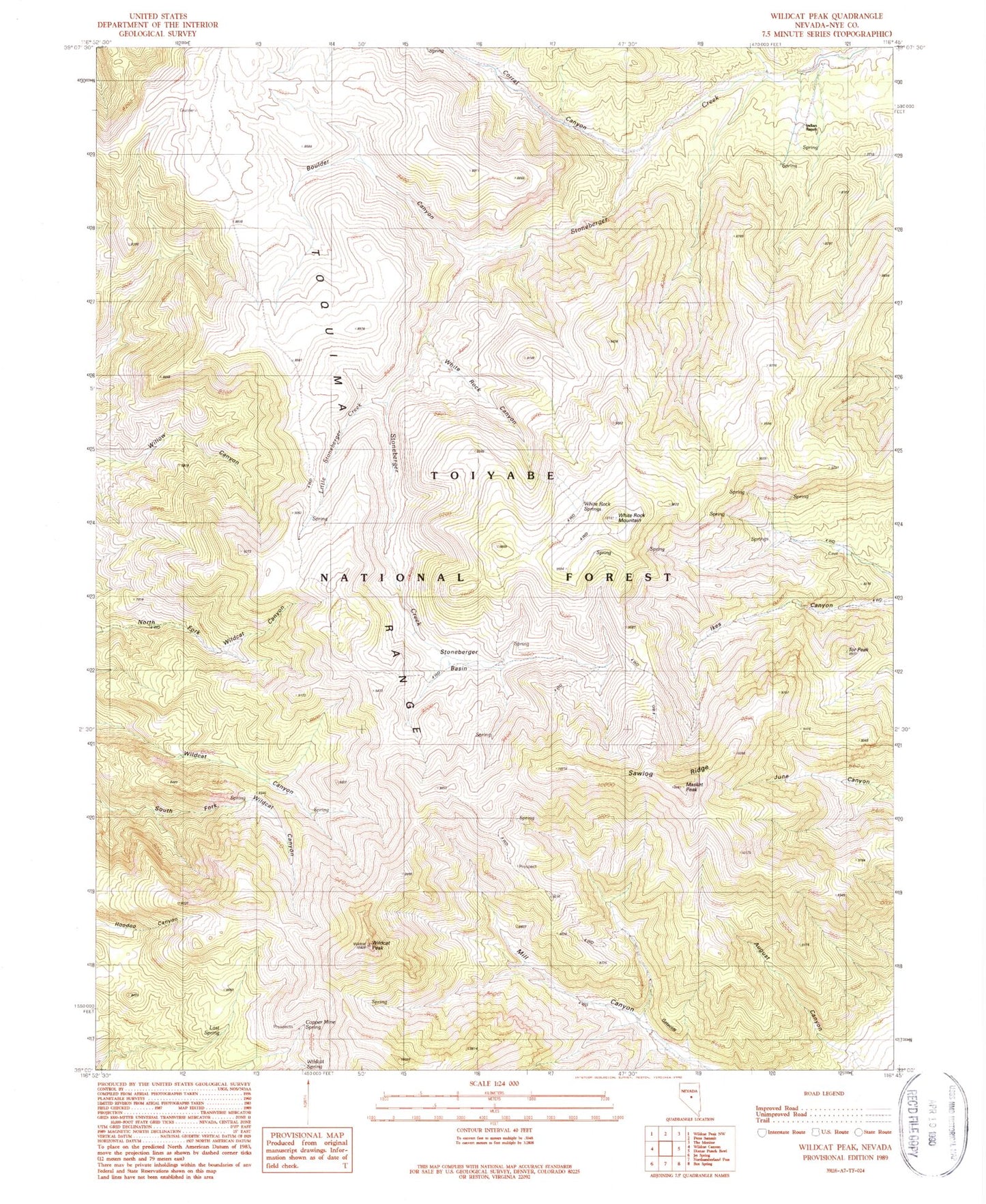
Classic USGS Wildcat Peak Nevada 7.5'x7.5' Topo Map
Couldn't load pickup availability
Historical USGS topographic quad map of Wildcat Peak in the state of Nevada. Map scale may vary for some years, but is generally around 1:24,000. Print size is approximately 24" x 27"
This quadrangle is in the following counties: Nye.
The map contains contour lines, roads, rivers, towns, and lakes. Printed on high-quality waterproof paper with UV fade-resistant inks, and shipped rolled.
Contains the following named places: August Canyon, Boulder Canyon, Copper Mine Spring, Corral Canyon, Diana Peak, Gatecliff, Indian Ranch, Little Stoneberger Creek, Lost Spring, Masket Peak, Sawlog Ridge, Stoneberger Basin, Tor Peak, West Knob, White Rock Canyon, White Rock Mountain, White Rock Spring, Wildcat Peak, Wildcat Spring