MyTopo
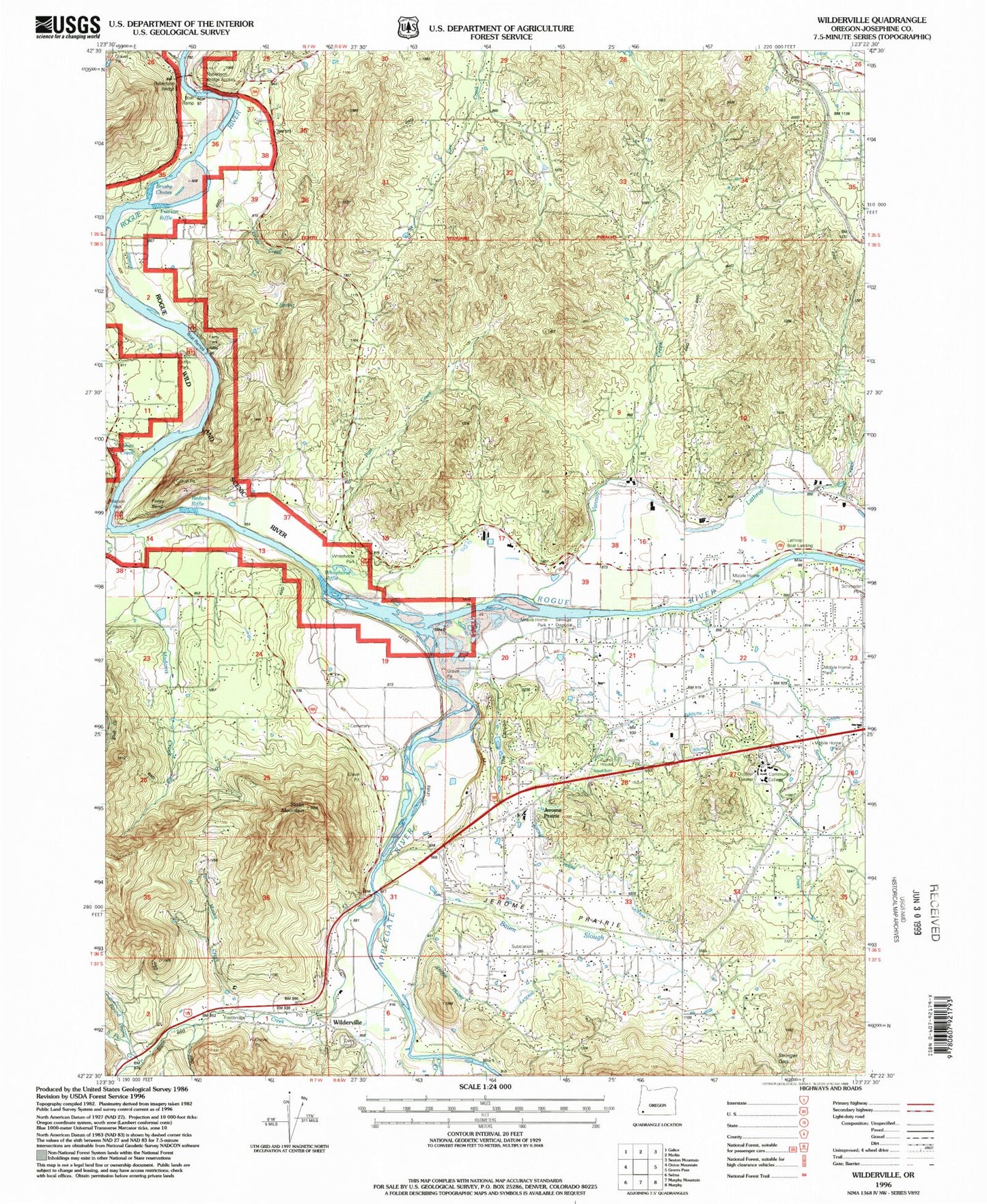
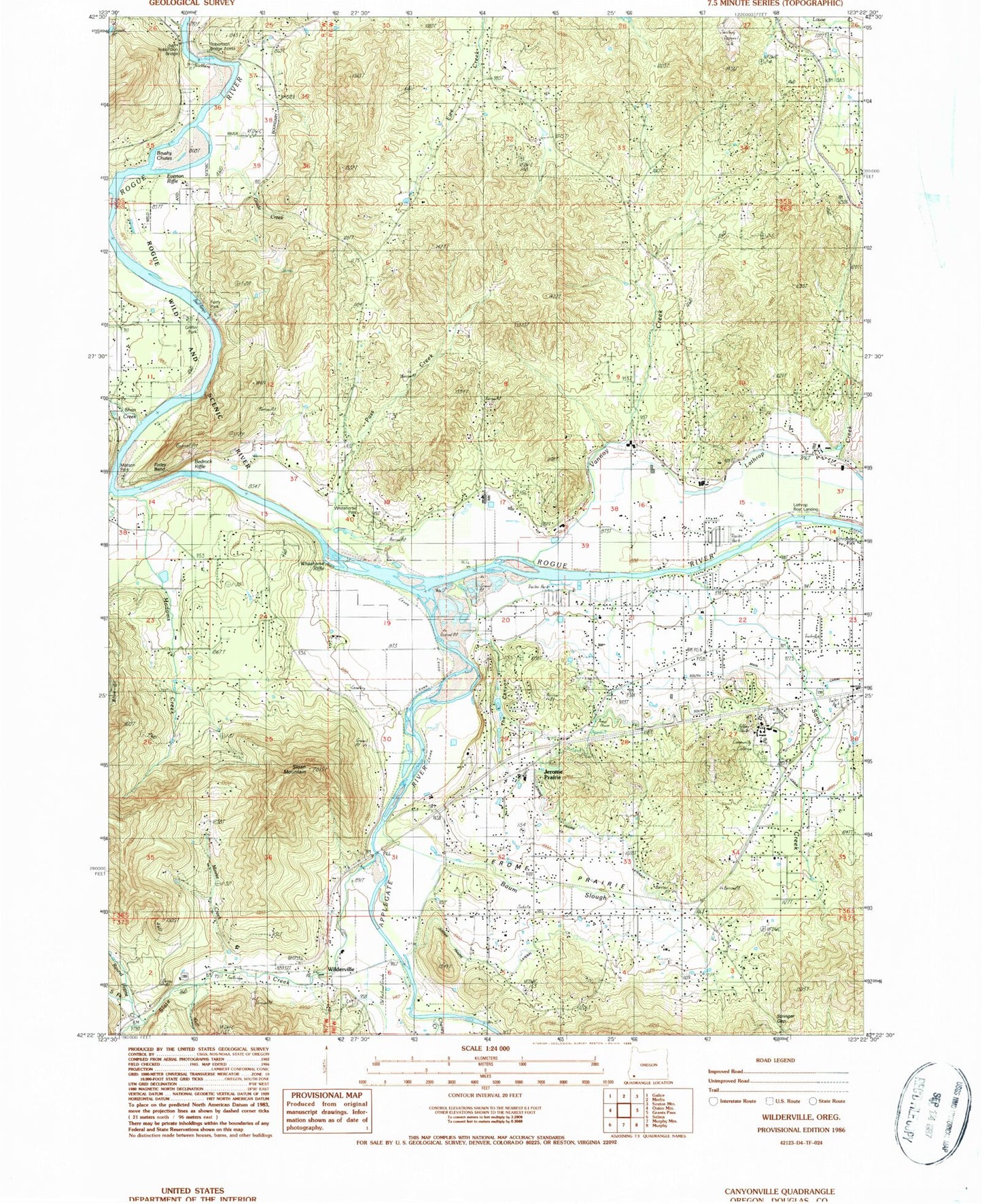
Classic USGS Wilderville Oregon 7.5'x7.5' Topo Map
Couldn't load pickup availability
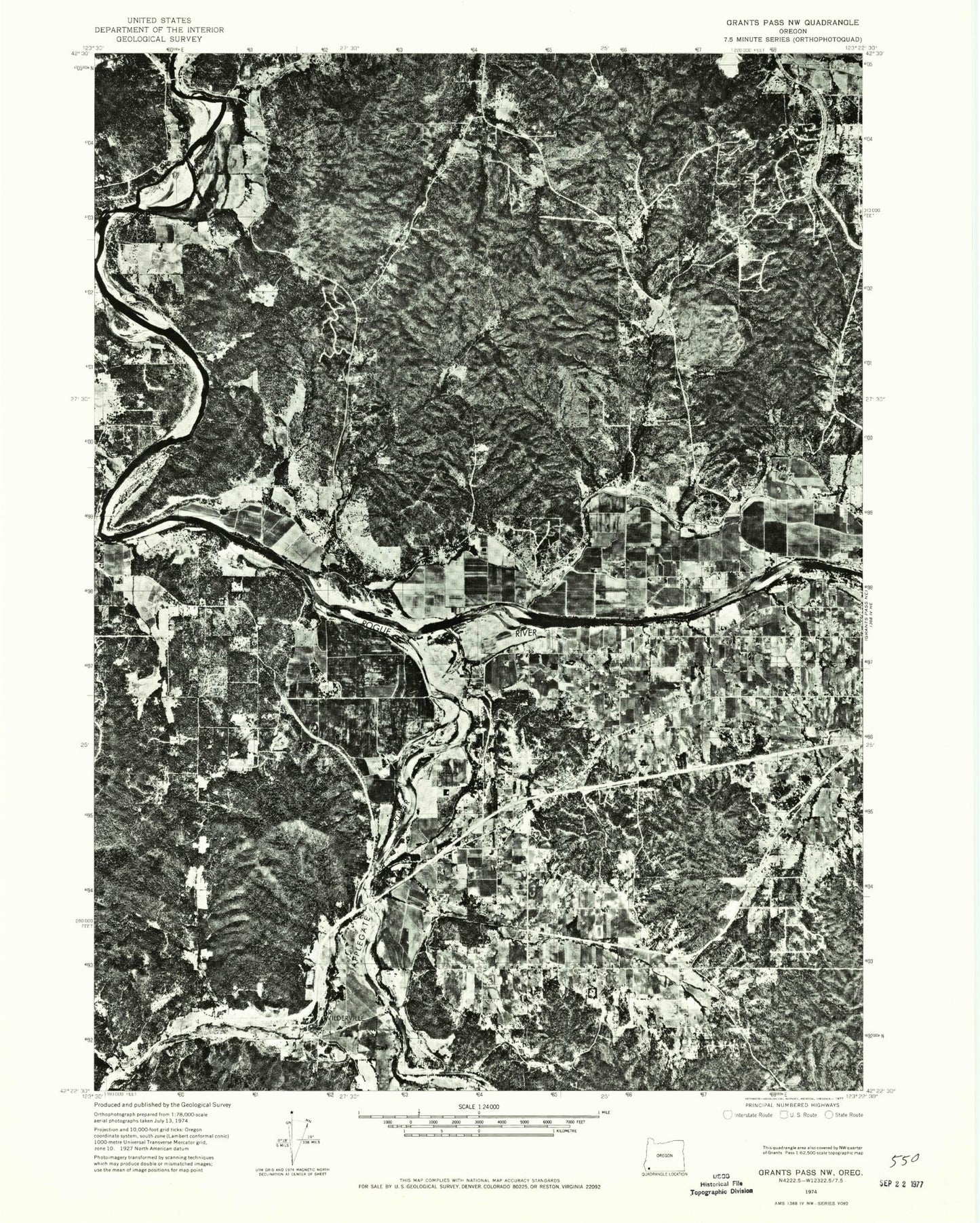
Historical USGS topographic quad map of Wilderville in the state of Oregon. Map scale may vary for some years, but is generally around 1:24,000. Print size is approximately 24" x 27"
This quadrangle is in the following counties: Josephine.
The map contains contour lines, roads, rivers, towns, and lakes. Printed on high-quality waterproof paper with UV fade-resistant inks, and shipped rolled.
Contains the following named places: Apple Rogue Reservoir, Applegate River, Aqua Fria Reservoir, Arden Craig, Baum Slough, Bedrock Riffle, Booth, Booth Post Office, Britton Creek, Brushy Chutes, Carter Creek, Chapin Creek, Daily Reservoir, Dimmick, Everton Riffle, Ferry County Park, Ferry Hole Park Boat Ramp, Ferrydale Cemetery, Finley Bend, Fort Vannoy, Fort Vannoy Elementary School, Frosty Canyon, Grade Creek, Griffin County Park, Griffin Park Boat Ramp, Griffin Picnic Area, Haven Creek, Jerome Prairie, Jerome Prairie Elementary School, Jerome Prairie Lateral, Klose Pond, Knights Gulch, Lathrop County Park, Lathrop Creek, Lathrop Landing Boat Ramp, Madams Creek, Matson County Park, Matson Park Boat Launch, Minnie Creek, Pass Creek, Pickett Creek, Prairie Creek, Rail Canyon, Redwood, Redwood Census Designated Place, Redwood Elementary School, Rich Creek, Robertson Bridge, Robertson Bridge Boat Ramp, Robertson Bridge County Park, Robertson Creek, Rogue Community College, Rogue Community College Outdoor Concert Bowl, Rogue Community College Rogue Theatre Building, Round Prairie Creek, Rural / Metro Fire Department Station 4, Rural / Metro Fire Department Station 6, Sand Creek, Schroeder County Park, Schroeder Park Boat Ramp, Shan Creek, Simmons, Slate Creek, Sloan Cemetery, Sloan Mountain, South Fork Round Prairie Creek, Sparrowhawk Creek, Steppe Reservoir, Stringer Gap, The Canyon, The Drain, Vannoy Creek, Vannoy Post Office, Wee Bonnie Loch Glen Reservoir, Werner Dam, Whitehorse County Park, Whitehorse Park Boat Ramp, Whitehorse Riffle, Wilderville, Wilderville Cemetery, Wilderville Post Office


