MyTopo
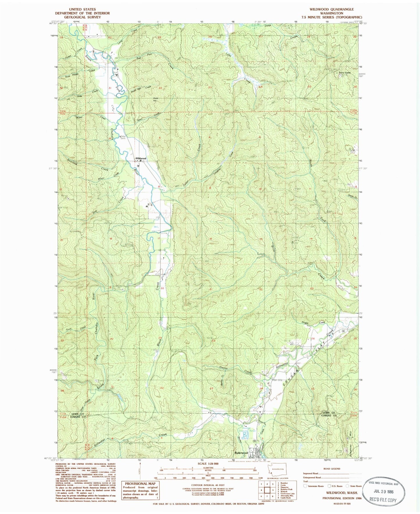
Classic USGS Wildwood Washington 7.5'x7.5' Topo Map
Couldn't load pickup availability
Historical USGS topographic quad map of Wildwood in the state of Washington. Map scale may vary for some years, but is generally around 1:24,000. Print size is approximately 24" x 27"
This quadrangle is in the following counties: Cowlitz, Lewis.
The map contains contour lines, roads, rivers, towns, and lakes. Printed on high-quality waterproof paper with UV fade-resistant inks, and shipped rolled.
Contains the following named places: Banks Creek, Becker Creek, Black Creek, Bull Pen Creek, Campbell Creek, Cedar Creek, Cougar Flat, Deer Creek, Foster Creek, Hogan Creek, Laughlin Creek, Lentz Creek, Lewis County Fire District 13 Station 3, Newland Creek, North Fork Brim Creek, Owens Creek, Point Hill, Point Hill Creek, Root House Creek, Ryderwood, Sears Creek, Sep Creek, Slide Creek, Snow Cemetery, Stony Grade, Trout Creek, Water Creek, Wildwood, Wilson Creek, ZIP Code: 98593