MyTopo
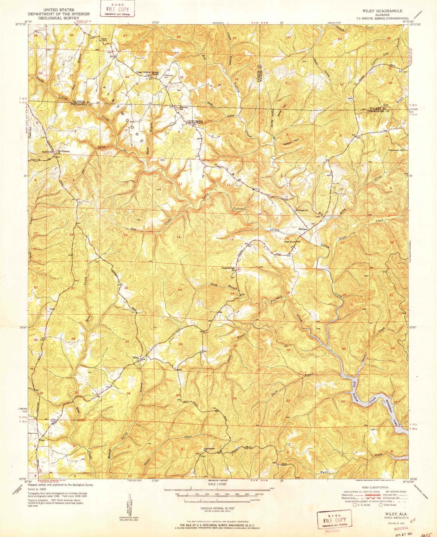
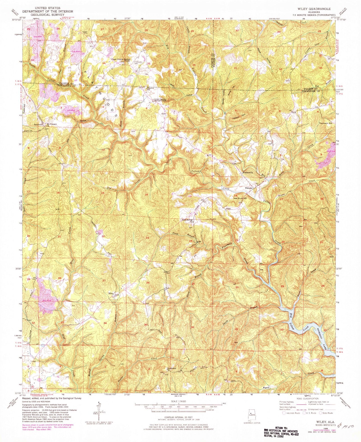
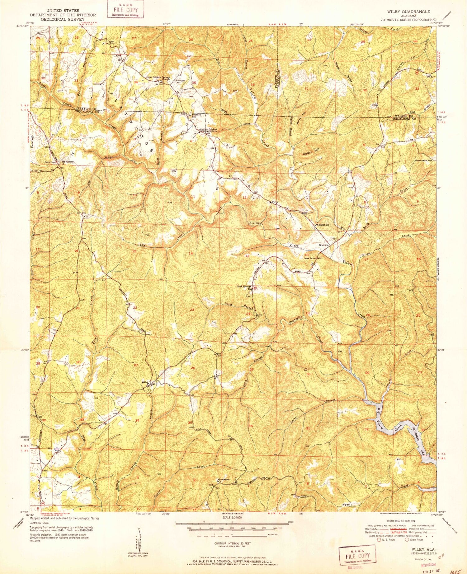
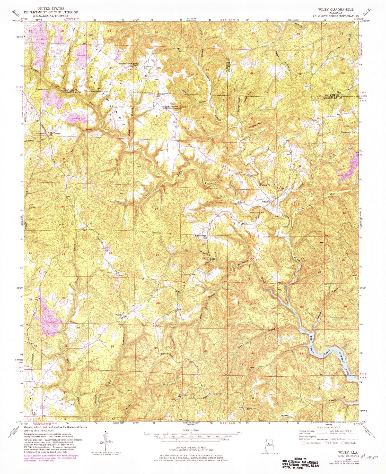
Classic USGS Wiley Alabama 7.5'x7.5' Topo Map
Couldn't load pickup availability
Historical USGS topographic quad map of Wiley in the state of Alabama. Map scale may vary for some years, but is generally around 1:24,000. Print size is approximately 24" x 27"
This quadrangle is in the following counties: Fayette, Tuscaloosa, Walker.
The map contains contour lines, roads, rivers, towns, and lakes. Printed on high-quality waterproof paper with UV fade-resistant inks, and shipped rolled.
Contains the following named places: Bad Branch, Blue Creek Mine, Boley Creek, Brandon School, Caney Branch, Davis Creek Mine, Dry Creek, Earnest Cemetery, Flatwoods, Flatwoods Cemetery, Fourmile Creek, Goodwater, Goodwater Cemetery, Goodwater Church, Goodwater School, Horse Creek, Jemison, Jess Dunn Hill, Keith Branch, Little Yellow Creek, Lower Sulpher Springs Cemetery, Lower Sulphur Springs Church, Morse Hill, Mount Pleasant Church, Nance Hollow, North Branch Fourmile Creek, Reeses Creek, Rob Hollow, Rock Springs Cemetery, Rock Springs Church, Sand Town Mine, Sandtown, Sandtown Cemetery, Sandtown School, Shop Hollow, Smith Branch, South Branch Fourmile Creek, Sulphur Church, Thompson Mountain, Upper Sulphur Springs Church, Upton Hill, Upton Spring Branch, Whitson, Whitson Church, Whitson Place Cemetery, Wiley, Wiley Cemetery, Wiley Dome Gas Field, Wiley Methodist Church, Williams Camp


