MyTopo
Classic USGS Wilhoit Arizona 7.5'x7.5' Topo Map
Couldn't load pickup availability
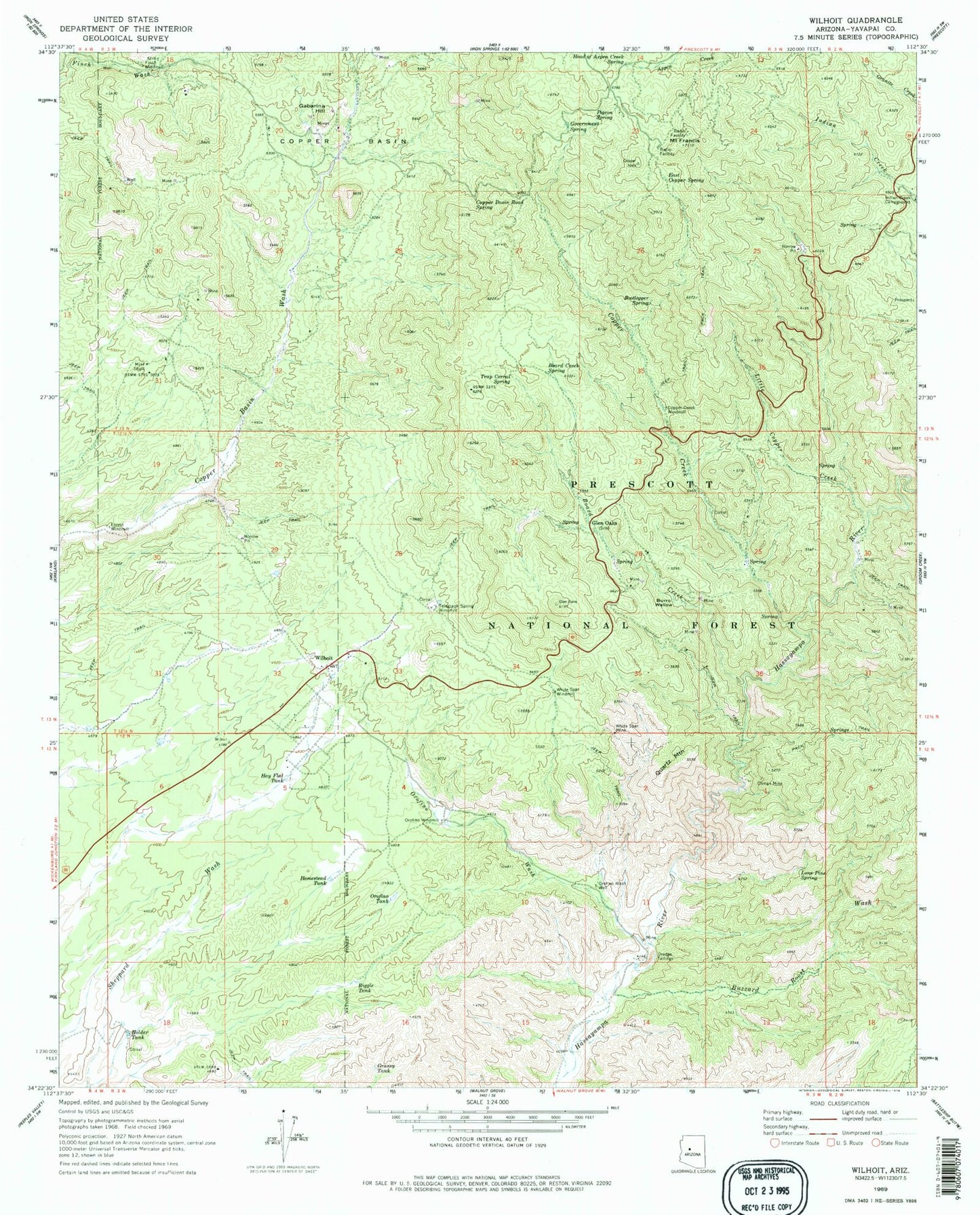
Historical USGS topographic quad map of Wilhoit in the state of Arizona. Map scale may vary for some years, but is generally around 1:24,000. Print size is approximately 24" x 27"
This quadrangle is in the following counties: Yavapai.
The map contains contour lines, roads, rivers, towns, and lakes. Printed on high-quality waterproof paper with UV fade-resistant inks, and shipped rolled.
Contains the following named places: Board Creek, Board Creek Spring, Bootlegger Spring, Burro Wallow, Buzzard Roost Wash, Buzzard Spring, Canfield Spring, Climax Mine, Continental Mine, Copper Basin, Copper Basin Road Spring, Copper Creek, Copper Creek Windmill, East Copper Spring, Finch Windmill, Forest Windmill, Gabarina Hill, Glen Oaks, Glen Oaks Spring, Government Spring, Grassy Tank, Hay Flat Tank, Head of Aspen Creek Spring, Holder Tank, Homestead Tank, Lee Spring, Little Copper Creek, Lone Pine Spring, McNary Siphon, Mint Shaft, Mount Francis, Mount Francis Trail Forty Eight, Oro Flame Mine, Orofino Tank, Orofino Wash, Orofino Wash Well, Orofino Windmill, Pigeon Spring, Quartz Mountain, Riggle Tank, Saint Agatha Campground, Southern Yavapai Fire Department, Telegraph Spring, Telegraph Spring Windmill, Top of Pines, Trap Corral Spring, White Rock Water, White Spar Mine, White Spar Windmill, Wilhoit, Wilhoit Census Designated Place, Wilhoit Southern Baptist Church, Wilhoit Spring, Wilhoit Tank


