MyTopo
Classic USGS Wilhoit Oregon 7.5'x7.5' Topo Map
Couldn't load pickup availability
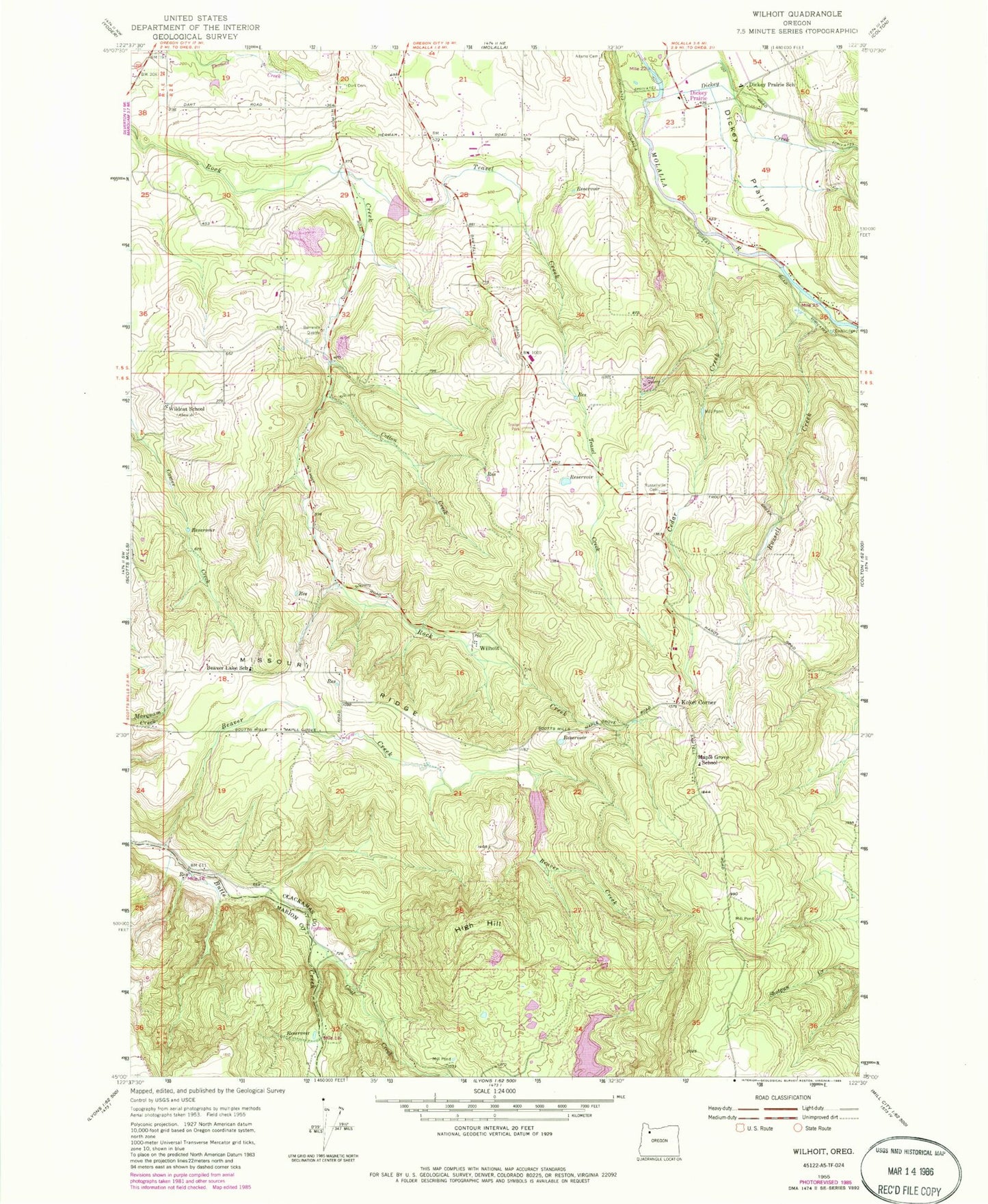
Historical USGS topographic quad map of Wilhoit in the state of Oregon. Map scale may vary for some years, but is generally around 1:24,000. Print size is approximately 24" x 27"
This quadrangle is in the following counties: Clackamas, Marion.
The map contains contour lines, roads, rivers, towns, and lakes. Printed on high-quality waterproof paper with UV fade-resistant inks, and shipped rolled.
Contains the following named places: Adams Cemetery, Beaver Creek, Beaver Lake School, Berrenth Quarry, Beyer Reservoir, Cedar Creek, Coal Creek, Cotton Creek, Dart Cemetery, Deardorf Ponds, Deardorff Reservoir, Dickey Creek, Dickey Prairie, Dickey Prairie Elementary School, Hermans, High Hill, Kokel Corner, Little Teasel Creek, Maple Grove Elementary School, Missouri Ridge, Molalla Rural Fire Protection District 73 Main Station, Neil Beyer Dam, Punchbowl, Russell Creek, Russellville, Russellville Community Cemetery, Sawtell Cemetery, Teasel Creek, Teasel Creek Dam, Teasel Creek Reservoir, Wildcat School, Wilhoit, Wilhoit Mineral Springs, Wilhoit Post Office, Wilhoit Springs County Park, Yoder Quarry, ZIP Code: 97038


