MyTopo
Classic USGS Wilkesboro North Carolina 7.5'x7.5' Topo Map
Couldn't load pickup availability
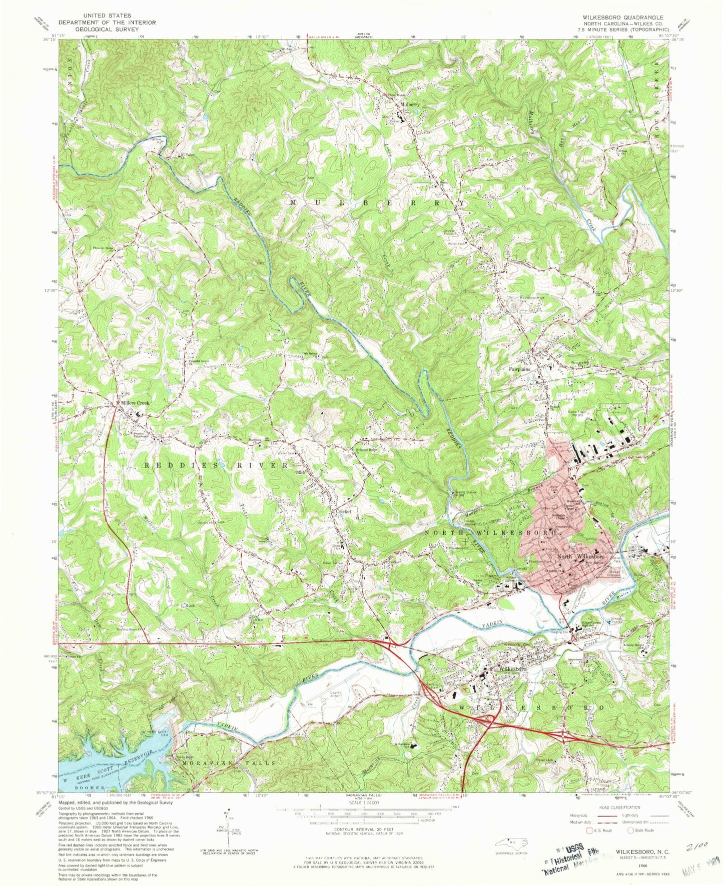
Historical USGS topographic quad map of Wilkesboro in the state of North Carolina. Map scale may vary for some years, but is generally around 1:24,000. Print size is approximately 24" x 27"
This quadrangle is in the following counties: Wilkes.
The map contains contour lines, roads, rivers, towns, and lakes. Printed on high-quality waterproof paper with UV fade-resistant inks, and shipped rolled.
Contains the following named places: Adley, Adley Church, Atonement Church, Bee Tree Branch, Bethel Church, Beulah Church, Blairs Island, Brookwood, Brown, Browns Ford, Buck, Calvary Church, Center Church, Congo Church, Cricket, Cricket Census Designated Place, Cricket Church, Cricket Fire Department, Cricket Park, Cross Roads Primitive Baptist Church, Cub Creek, Cub Creek Park, Dannel Chapel, Fairplains, Fairplains Census Designated Place, Fairplains School, Finley Park, First Baptist Church, Fish Dam Creek, Fletcher, Forest Hills, Friendly Grove Church, Friendship Church, Friendship Methodist Church, Gordon Church, Harmony Church, Hay Meadow Creek, Henderson, Highland Park, Hill Top Church, Hillcrest Church, Hilltop Acres, Hilorn, Hinshaw Street Church, Holly Farms Lagoon, Holly Farms Lagoon Dam, Home Church, Hoopers Branch, Kilby Branch, Kilby Store, Knollwood, Lincoln Height School, Little Cub Creek, Lousy Creek, Midtown Shopping Plaza, Millers Creek, Millers Creek Census Designated Place, Millers Creek High School, Millers Creek Post Office, Millers Creek Volunteer Fire Department Station 1, Moravian Creek, Mount Valley Church, Mount Zion Church, Mountain Manor, Mountain Park Cemetery, Mountain Valley School, Mountlawn Memorial Park, Mulberry, Mulberry - Fairplains Fire Department, Mulberry Census Designated Place, Mulberry School, North Carolina State Highway Patrol Troop F District 2, North Wilkesboro, North Wilkesboro Elementary School, North Wilkesboro Fire Department, North Wilkesboro Police Department, North Wilkesboro Post Office, North Wilkesboro Womens Club, Northside Chapel, Northview Plaza, Oak Grove Church, Optimist Park, Owens Knob, Pearson Store, Peoples Tabernacle, Pleasant Grove Church, Pleasant Hill Missionary Baptist Church, Pleasant Home Baptist Church, Reddies River, Robinet, Rolling Pine Acres, Saint Johns Church, Saint Pauls Cemetery, Saint Pauls Episcopal Church, Shady Grove Baptist Church, Sherwood Forest, Smoot Park, Stokes, Sulphur Springs Academy, Sunset Falls, Town of North Wilkesboro, Town of Wilkesboro, Township of North Wilkesboro, Township of Reddies River, Tucker Hole Creek, Tumbling Shoals Creek, Union Church, Union School, Union Tarheel Cemetery, W Kerr Scott Dam, Wallace Acres, Welcome Home Church, West Park Shopping Center, Westwood Hills, Westwood Park, Wildwood Park, Wilkes Area Poultry Association Laboratory, Wilkes Art Gallery, Wilkes Central High School, Wilkes Correctional Center, Wilkes County, Wilkes County Emergency Medical Services, Wilkes County Jaycees Clubhouse, Wilkes County Sheriff's Office, Wilkes Mall, Wilkes Regional Medical Center, Wilkes Rescue Squad, Wilkesboro, Wilkesboro Community College, Wilkesboro Elementary School, Wilkesboro Fire Department Station 1, Wilkesboro Fire Department Station 2, Wilkesboro Police Department, Wilkesboro Post Office, William K Newton Memorial Park, WKBC-AM (North Wilkesboro), Woodlawn Community Center, Woodlawn School, Woodward Junior High School, WSIF-FM (Wilkesboro), WWWC-AM (Wilkesboro), YMCA Park, Zion Hill Church, ZIP Codes: 28659, 28697


