MyTopo
Classic USGS Wilkinson Creek Wyoming 7.5'x7.5' Topo Map
Couldn't load pickup availability
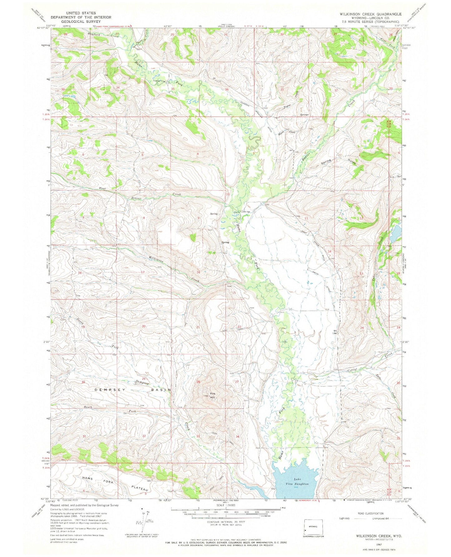
Historical USGS topographic quad map of Wilkinson Creek in the state of Wyoming. Map scale may vary for some years, but is generally around 1:24,000. Print size is approximately 24" x 27"
This quadrangle is in the following counties: Lincoln.
The map contains contour lines, roads, rivers, towns, and lakes. Printed on high-quality waterproof paper with UV fade-resistant inks, and shipped rolled.
Contains the following named places: Beaver Creek, Corral Creek, Dempsey Basin, East Stock Ditch, Fenn Creek, Johnson Spencer Ditch, Lake Creek, Mayfield Creek, Moore Creek, North Fork Dempsey Creek, Pink Hill, Pole Creek, Smith Ditch Number 1, South Fork Dempsey Creek, Spring Gulch, Taylor Creek, West Beaver Creek, West Fork Beaver Creek, Wilkinson Creek