MyTopo
Classic USGS Wilkinson Mississippi 7.5'x7.5' Topo Map
Couldn't load pickup availability
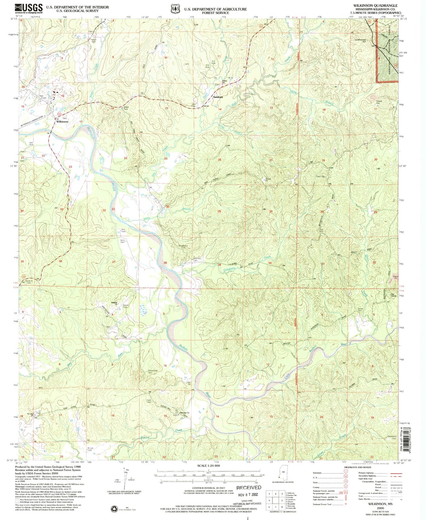
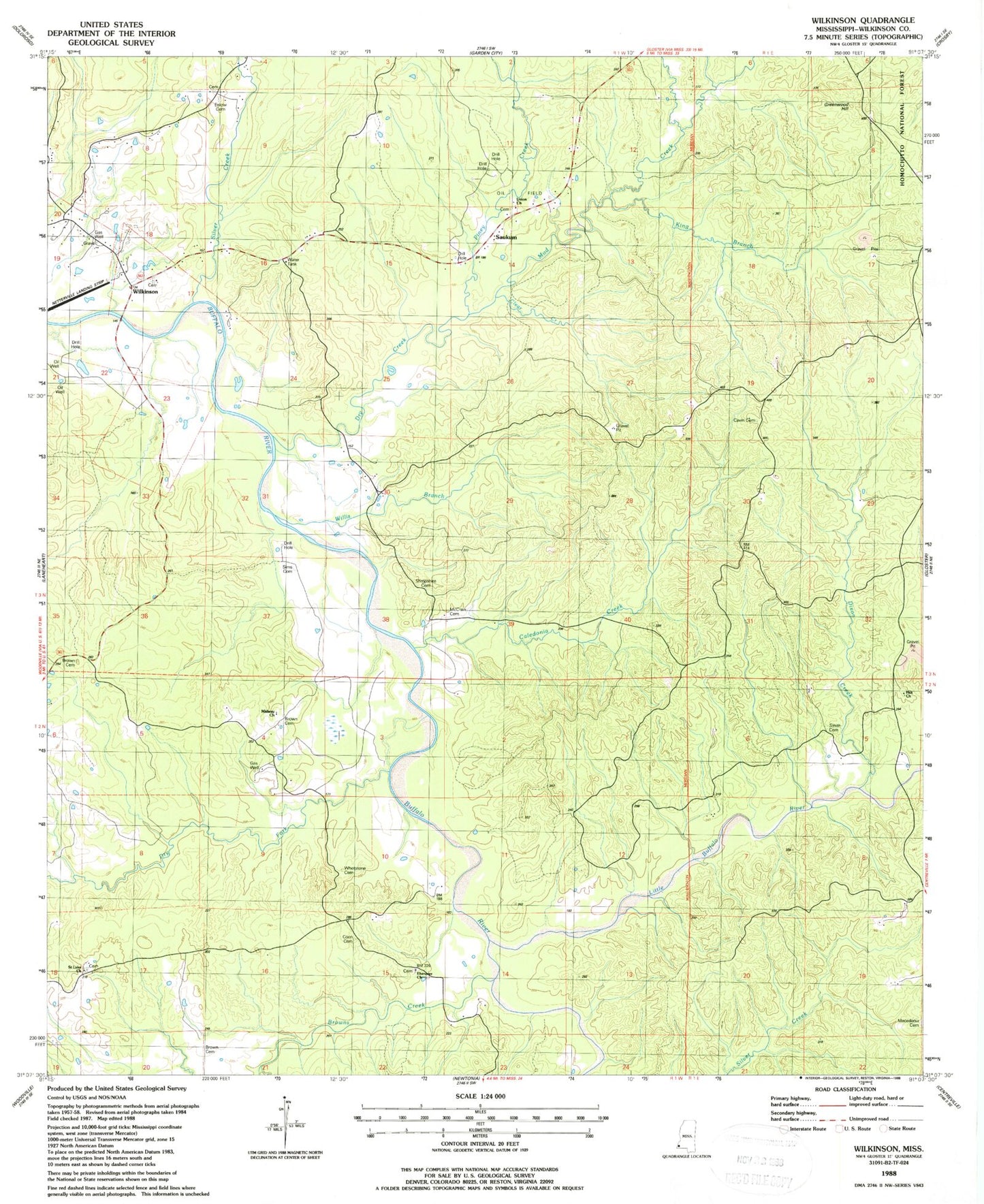
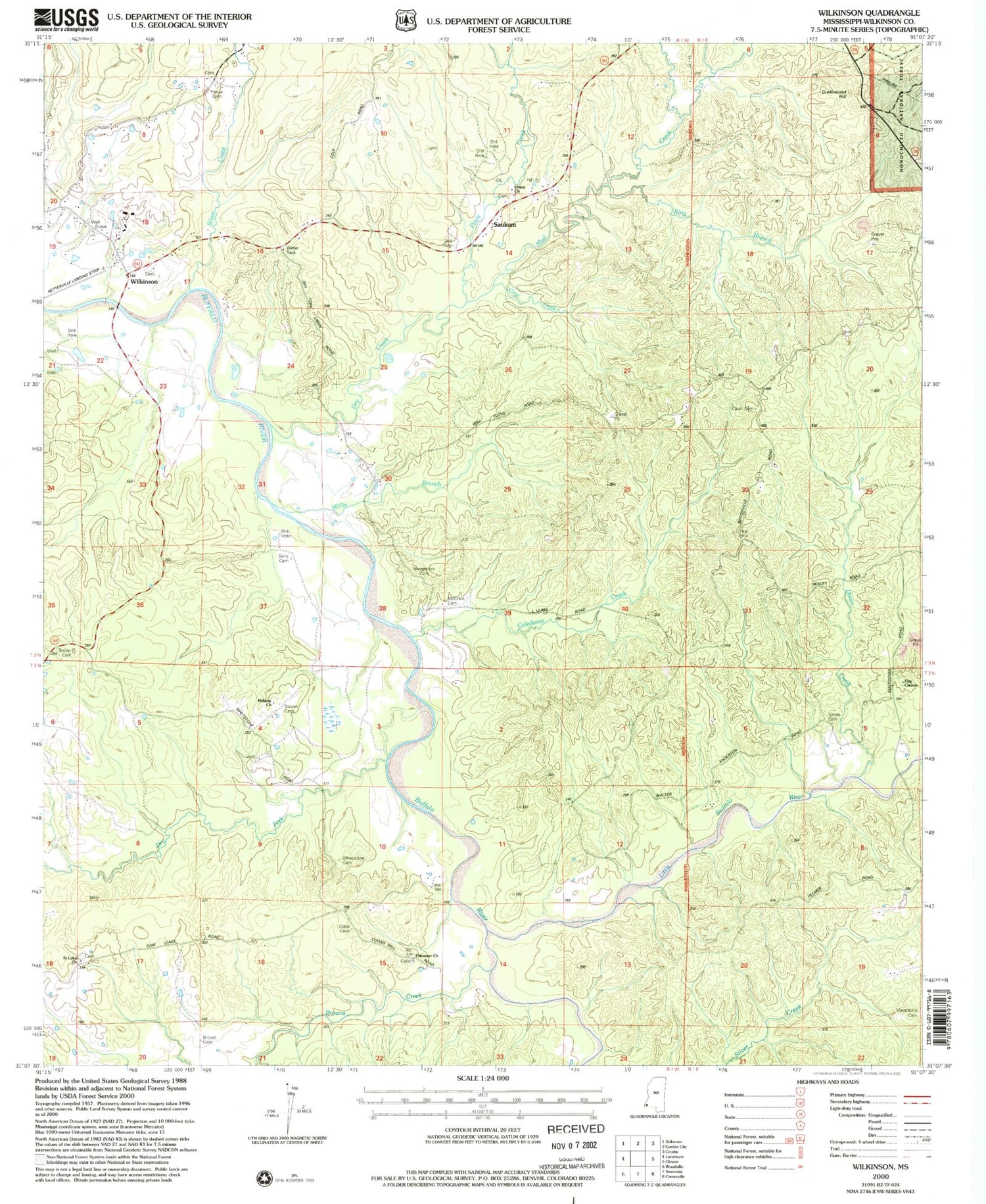
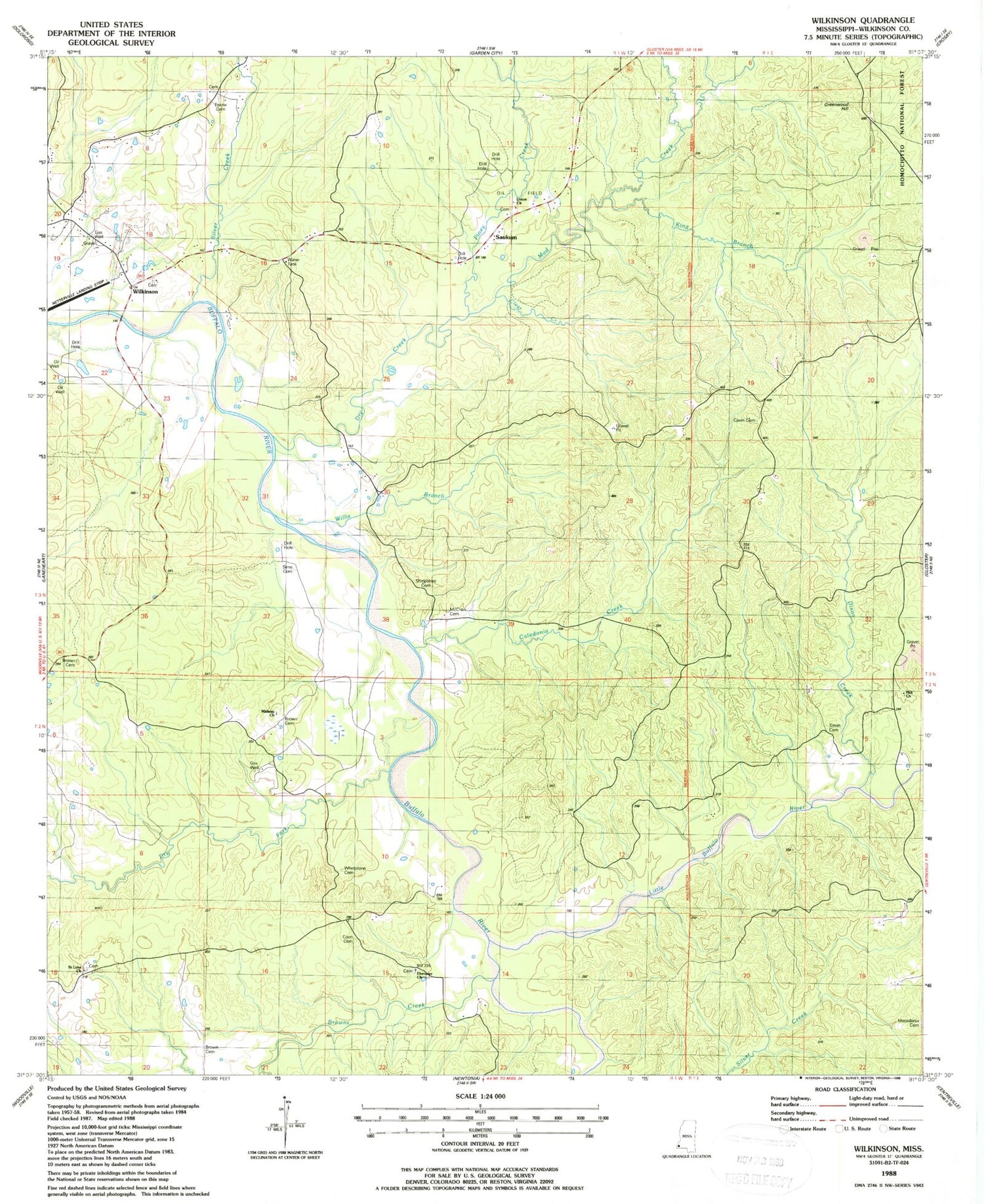
Historical USGS topographic quad map of Wilkinson in the state of Mississippi. Map scale may vary for some years, but is generally around 1:24,000. Print size is approximately 24" x 27"
This quadrangle is in the following counties: Wilkinson.
The map contains contour lines, roads, rivers, towns, and lakes. Printed on high-quality waterproof paper with UV fade-resistant inks, and shipped rolled.
Contains the following named places: Brown Cemetery, Browns Creek, Buffalo Volunteer Fire Department, Caledonia Creek, Cavin Cemetery, Clear Creek, Coon Cemetery, Dixon Creek, Dry Creek, Dry Fork, Ebenezer Church, Enlow Cemetery, Fred Netterville Lumber Company Wilkinson Community Airport, Greenwood Hill, Hiram, Hux Church, King Branch, Kings Branch Oil Field, Little Buffalo River, Macedonia Church, McCrain Cemetery, Midway Church, Mud Creek, Mud Creek Oil Field, North Mud Creek Oil Field, Piney Creek, Saint Luke Church, Saukum, Saukum Oil Field, Shropshire Cemetery, Silver Creek, Sims Cemetery, Smith Cemetery, Soapstone Oil Field, Supervisor District 3, Union Cemetery, Union Church, Whetstone Cemetery, Wilkinson, Willis Branch


