MyTopo
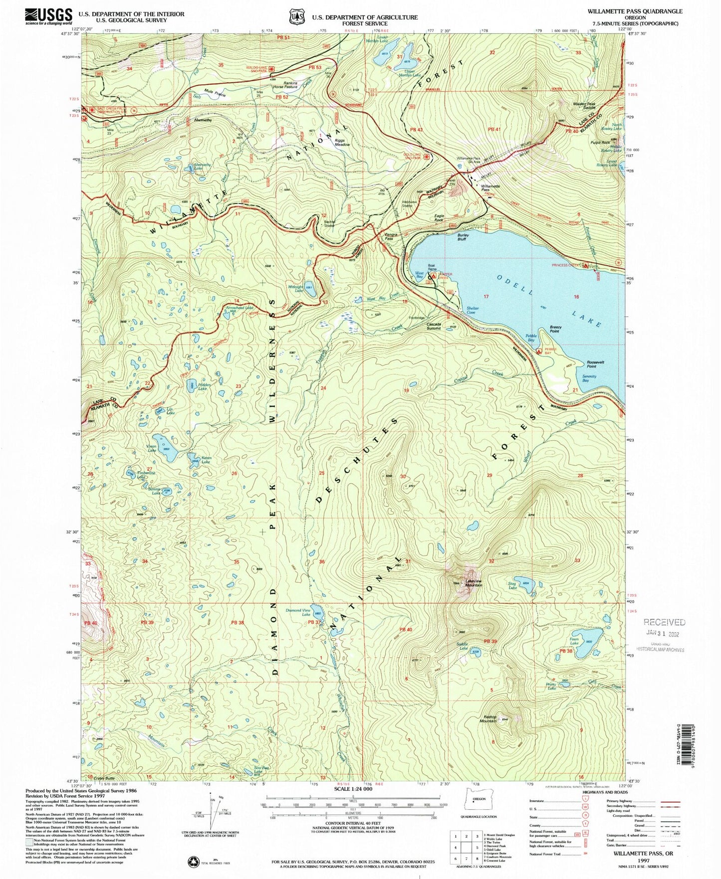
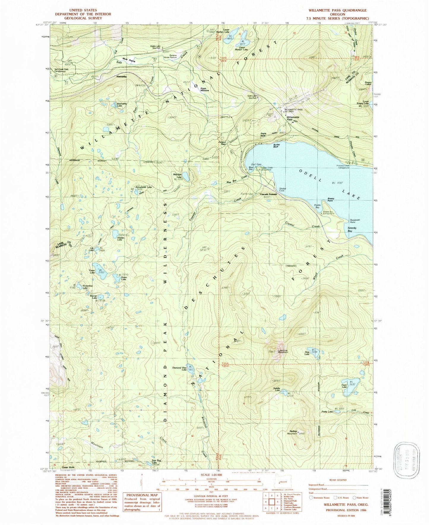
Classic USGS Willamette Pass Oregon 7.5'x7.5' Topo Map
Couldn't load pickup availability
Historical USGS topographic quad map of Willamette Pass in the state of Oregon. Typical map scale is 1:24,000, but may vary for certain years, if available. Print size: 24" x 27"
This quadrangle is in the following counties: Deschutes, Klamath, Lane.
The map contains contour lines, roads, rivers, towns, and lakes. Printed on high-quality waterproof paper with UV fade-resistant inks, and shipped rolled.
Contains the following named places: Lils Lake, Arrowhead Lake, Hidden Lake, Bonnie Lake, Karen Lake, Timberline Lake, Gold Lake Sno-Park, Waldo Lake Sno-park, Eagle Rock, Sow Bug Lake, Abernethy Lake, Breezy Point, Burley Bluff, Cascade Summit, Crystal Creek, Deer Creek, Diamond View Lake, Fawn Lake, Fawn Lake Way, Fuji Creek, Lakeview Mountain, Lower Marilyn Lake, Middle Rosary Lake, Midnight Lake, Mule Prairie, North Rosary Lake, Odell Lake, Pebble Bay, Pengra Pass, Pretty Lake, Princess Creek, Princess Creek Recreation Site, Rankins Horse Pasture, Redtop Mountain, Riggs Meadow, Roosevelt Point, Rosary Creek, Rosary Lakes, Saddle Lake, Serenity Bay, Shelter Cove, Stag Lake, Trapper Creek, Upper Marilyn Lake, West Bay, West Bay Creek, Willamette Pass, Yoran Lake, Yoran Lake Trail, Dreadnought Island, McLeod Creek, Construction Creek, Bills Creek, Bechel Creek, Diamond Peak Wilderness, Maiden Peak Saddle, Westview Shelter, Pebble Bay Recreation Site, Willamette Pass Ski Area, Trapper Creek Recreation Site, Pulpit Rock, Jungle Creek, Windfall Creek, Junco Creek, Engineer Creek, Cascade Summit Post Office (historical), Abernethy, Marilyn Lakes, Eagle Peak, Shelter Cove Resort Marina, Princess Creek Campground Boat Ramp, Trapper Creek Boat Ramp, Shelter Cove Boat Ramp


